Data whiz
Meteosat Third Generation Data and Tools Coordinator Dr Tim Patterson explains his role.
Get to know Alessandro Burini, one of many behind the Meteosat Third Generation mission
27 May 2026
27 May 2026
In the early 1980s, at just three years old, Alessandro Burini took his first flight. As his plane ascended above Rome, he was entranced by the clouds, the patchwork city blocks, and the fossil-like colosseum below. Burini imagined how the features he saw from above would appear from the point of view of someone on the ground. In this thought experiment, a terracotta roof transformed into a towering apartment building, a patch of treetops gave way to a lush garden.
Later, Burini viewed globes and, eventually, satellite images with this same shift in perspective, a fascination that led him to pursue a career in Earth observation.
“I always try to imagine how a place looks on the ground when I see it in a satellite image from space,” he said. “This is something that is still alive and is the same type of approach I had when I was a kid.”
Now, as EUMETSAT’s Flexible Combined Imager Instrument Scientist, Dr Burini guides the team that plays a pivotal role in ensuring the instrument, which features on both Meteosat Third Generation imager satellites, fulfils its purpose. This entails making sure that the quality of the data the instrument collects meets exacting standards. One way he and his team do this is by tuning the algorithms that allow for the retrieval of geophysical variables during commissioning, the critical phase in a satellite’s journey after it has been launched but before it becomes operational. Once they have concluded that the instrument is performing as intended, Burini and his team focus on creating new products, combinations of data that provide useful information about the atmosphere, clouds, wildfires, and more.
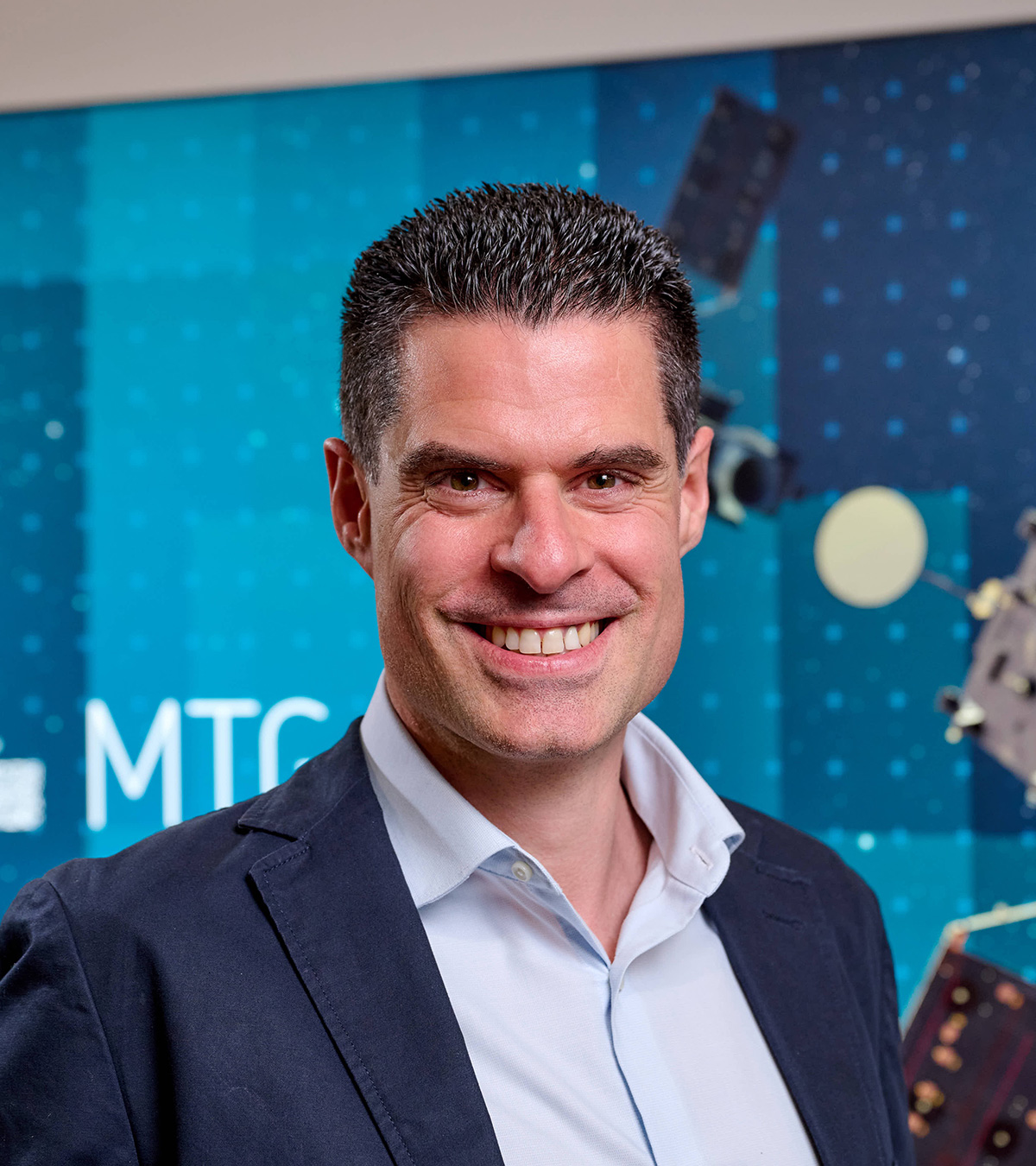
“Creating new products involves a lot of interaction with users,” said Burini.
“Because we wrote the user requirements ten years before the mission was to be launched, sometimes when the data are actually starting to flow, we realise that although we are meeting the user requirements, something else would be even better. So, we interact with the users to not just meet but exceed their expectations, with the aim of making the data we provide as useful to the user community as possible.”
Burini is particularly proud of an initiative to create products to benefit people in Ukraine. The Leveraging AI and MTG to Predict (Radar) Observations project, carried out by Oriol Hinojo Comellas, Giannis Dravilas, Andrea Meraner, Dr Sina Montazeri, and Dr Miruna Stoicescu provides satellite data collected by the Lightning Imager and Flexible Combined Imager on Meteosat-12 to areas where on-ground weather radars have been destroyed or incapacitated. When the Meteosat Third Generation Imager 2 satellite becomes operational, this initiative will incorporate data from the Flexible Combined Imager on board that satellite, as well, providing essential data to areas in need more frequently.
The rapid scanning service to be carried out by the Flexible Combined Imager on board MTG-I2, planned for launch this year, will complement the full disc scanning service provided by the identical instrument on board the other imaging satellite, Meteosat-12. While the Flexible Combined Imager on board Meteosat-12 has a wider view, scanning the full Earth disc every 10 minutes, the MTG-I2’s narrower view will enable it to collect data more quickly, providing scans of just Europe, northern Africa, and the surrounding regions every two and a half minutes.
“The Flexible Combined Imager on board MTG-I2 will be able to observe important phenomena with better temporal resolution,” said Burini.
“For instance, in Italy during the summer, sometimes violent storms erupt over the mountains – as seen from the ground, they look like huge explosions. The rapid scanning service will be able to capture most details of storms like these as they evolve, so, together with its very high temporal resolution, it will be possible to see the process of these storms as they form.
“The same applies to wildfires. The rapid scanning service will have the granularity of detecting when the fires start and how they evolve. So, it will be a real game changer for some applications, particularly over Europe.”
Sarah Puschmann