Observing the life cycle of a storm
Instruments on board Meteosat Third Generation satellites enable meteorologists to better monitor severe storms
Instruments on board the Meteosat-12 and Meteosat Third Generation Sounder 1 satellites provide complementary observations that can be used to better forecast and monitor storms even before the first clouds have developed.
“Currently, the only way of observing the Earth’s atmosphere in certain regions is by using in-situ instruments such as weather balloons and probes attached to aircrafts – without them, there is simply no way of observing what is happening above the surface. Forecasters can rely on models for guidance but cannot follow the conditions with measured data to see if things are developing as expected. That is what is so exciting about the new sounder satellite – for the first time, it will be possible to closely follow how the atmosphere prepares itself for a thunderstorm.”
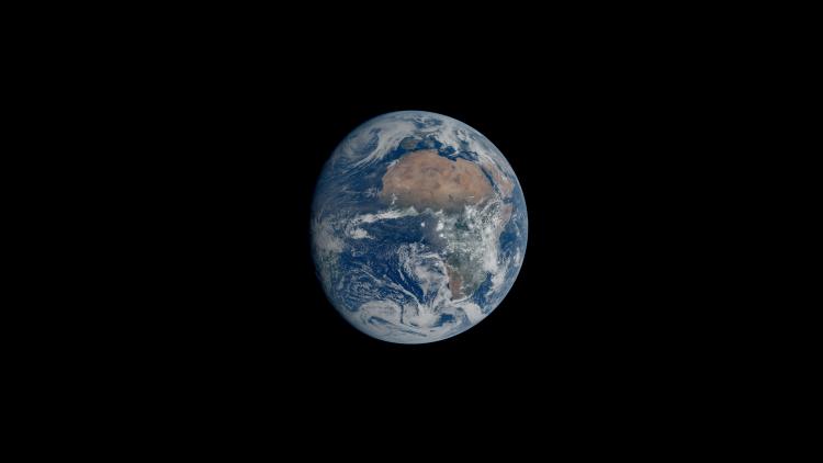
The 4D weather cube, depicted in the animation below, is a valuable tool for visualising the complementarity of four different data sets – atmospheric profiles, winds, convection, and lightning – from three key MTG instruments.
Monitoring the life cycle of a storm
Complementary observations will make this possible by measuring a storm at different stages of its formation. Before the first clouds have formed, the Infrared Sounder on board MTG-S1 will provide temperature and water vapour profiles, measurements of temperature and humidity at different altitudes every 30 minutes for Europe, and with less frequency over Africa and the surrounding regions.
“Before the initiation of a storm takes place, a forecaster can use observations from the Infrared Sounder to see if the moisture in the atmosphere is increasing and if the temperature profile is steepening, which means that the temperature is decreasing by height more quickly,” said Holzer.
“This indicates that unstable conditions are developing. Observations from the Infrared Sounder will enable meteorologists to follow these changes. Seeing these before clouds have formed is really a game changer in terms of lead time.”
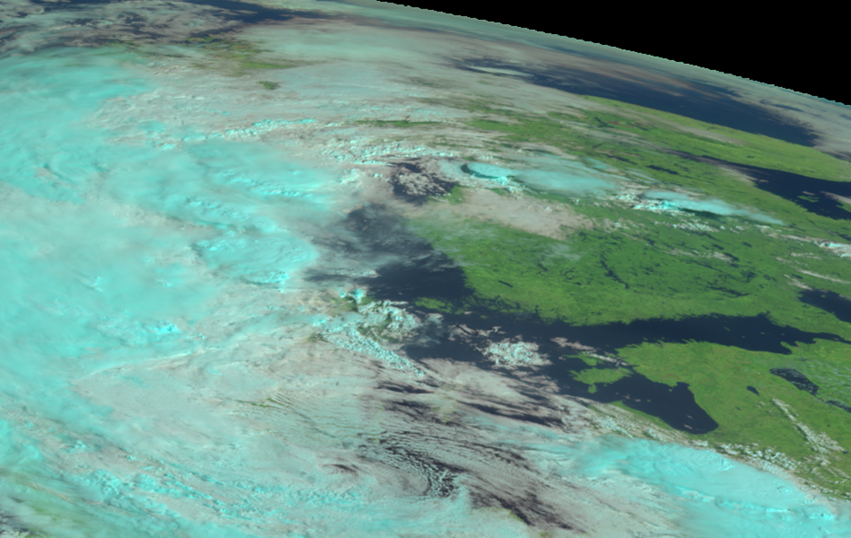
Next in the development of a storm comes the valuable contribution of the Flexible Combined Imager on board Meteosat-12. By providing images of the entire Earth disc every ten minutes, this instrument enables meteorologists to better track winds and convection, the vertical movement of heat and moisture through the atmosphere.
Using data from the Flexible Combined Imager, meteorologists will also be able to detect temperature differences at the tops of clouds, which is crucial for identifying the conditions that lead to storm intensification – high and cold cloud tops are an indicator of severe convection.
Lastly, once a storm has developed, observing lighting flashes is essential for keeping people safe. Another Meteosat-12 instrument, the Lightning Imager, measures total lightning flashes including those within and between clouds, as well as from clouds to the ground, across Europe, Africa, and the surrounding regions.
“The Lightning Imager makes it possible to see the early lightning, which often comes in an early phase of convection before you have very strong winds and precipitation, including hail,” said Grandell.
“Lightning typically starts as small intracloud lightning, which is inside the cloud and is not something you might be able to observe very easily without this instrument. Then comes the first cloud-to-ground lightning, which is definitely visible. But you already have severe weather at that point, so if you only start observing lightning then, it is a bit late.
“The benefit of the Lightning Imager is being able to start detecting lighting early. With this lead time, you can observe the lightning jump, which is when the rate of lightning strikes increases rapidly. This indicates that a storm is becoming severe.”
Keeping people safe
More accurately forecasting storms further in advance benefits people in a wide range of situations.
“There are all kinds of applications where people need this information fast,” said Holzer.
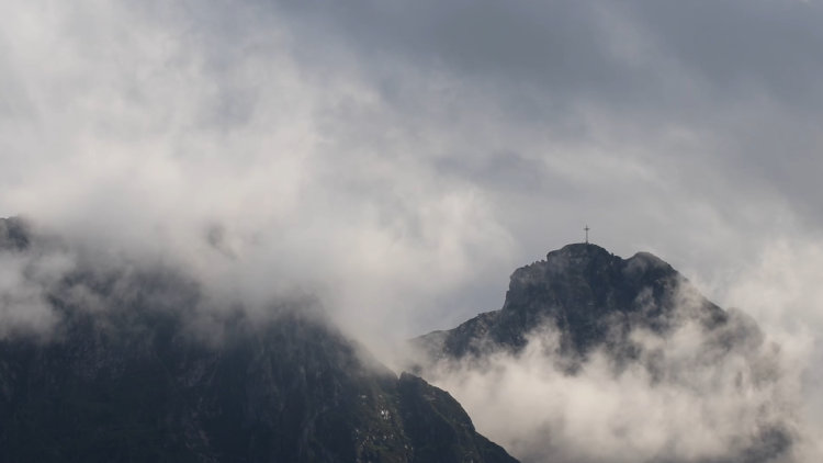
“For example, if there is a children’s sailing competition on a lake or at a seashore, what does it mean when there is a big thunderstorm approaching this area? All those children will need to be brought to land. Also, storms could endanger people hiking in the mountains or cause the very quick discharge of a river in a heavily populated area that would flood underground garages.
“MTG instruments play a role in increasing the lead time for meteorologists to forecast storms and issue severe weather warnings. Every piece that we can add to complete this picture of forecasting storms helps.”
Author:
Sarah Puschmann