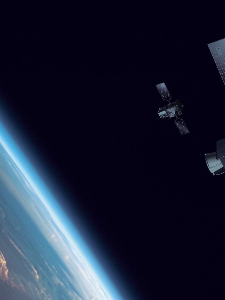
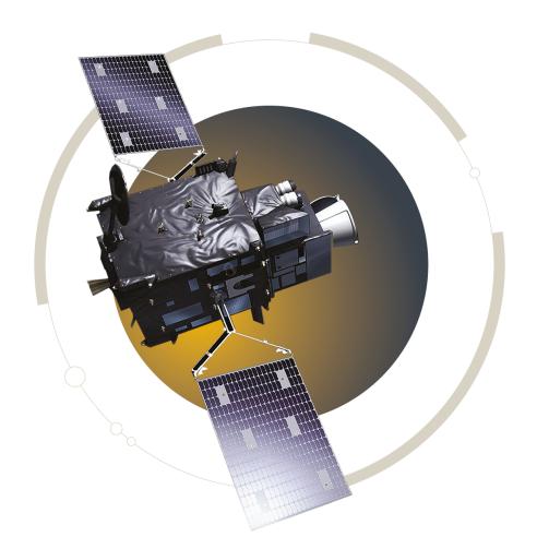
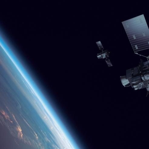
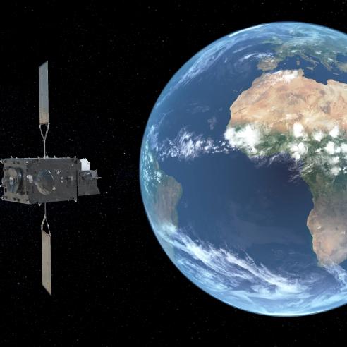
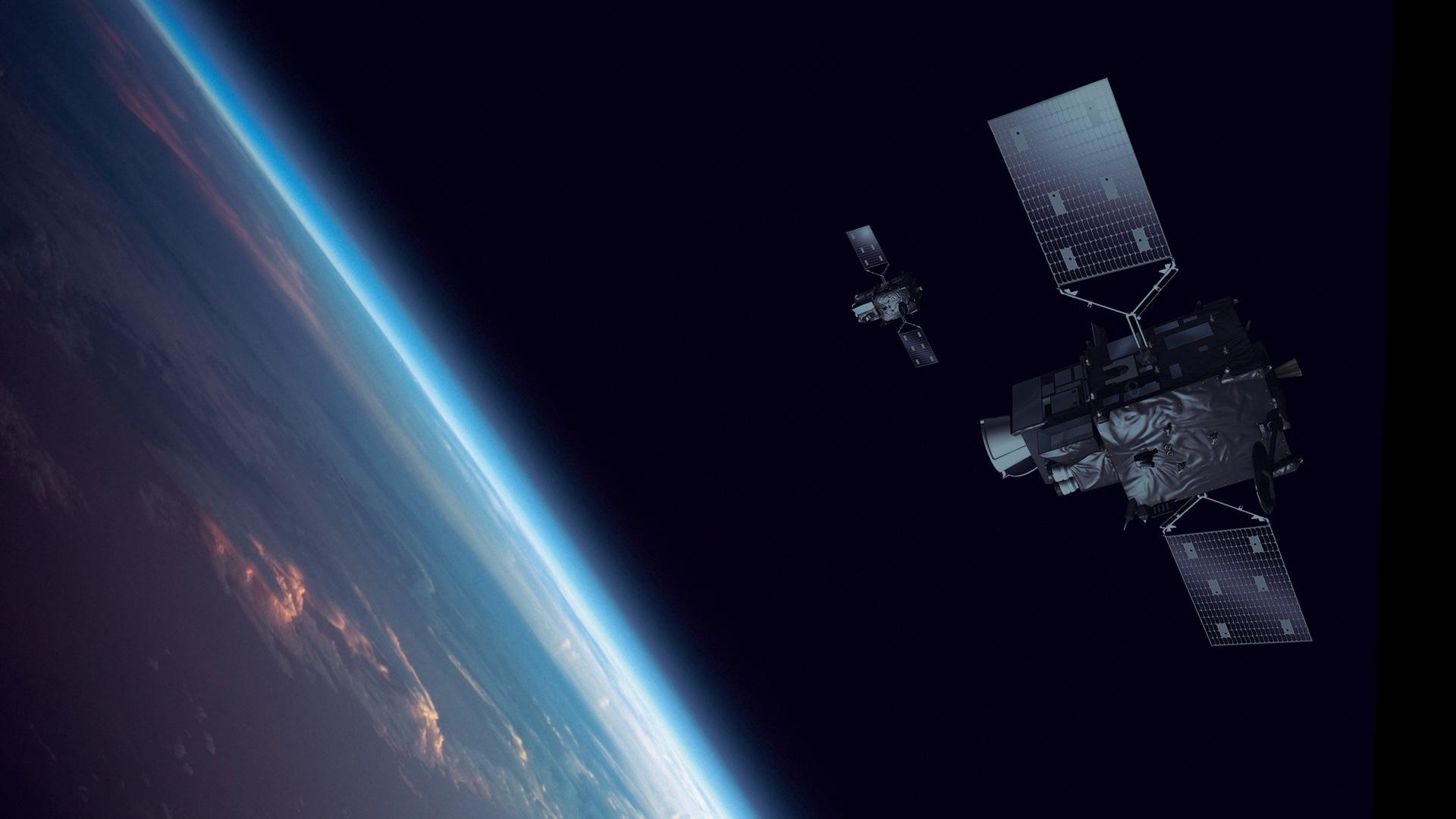
MTG satellites in orbit

Meteosat Third Generation imaging services


Nowcasting applications are the focus of the imaging services

MTG satellites in orbit

Nowcasting can be done through the visual identification and characterisation of weather systems, their quantitative assessment via more advanced quantitative products, or very short-range prediction using extrapolated or probabilistic products that rely on data from Meteosat Third Generation imagers.

Last Updated

19 January 2024

Published on

16 November 2022

Applications benefiting from the spectral imagery mission, achieved through the Flexible Combined Imager (FCI) instrument:

  • Improved meteorological information about the rapid processes of the atmospheric water cycle, resulting in improved severe weather forecasts and early warnings
  • Daytime total column precipitable water retrieval enhanced with support of the FCI’s 0.91µm channel, especially over land
  • Improved detection of very thin cirrus clouds assisted with 1.375µm channel
  • Improved retrieval of cloud microphysics with additional 2.26µm “microphysical” channel
  • True colour imagery available for the first time, supported by new 0.44µm and 0.51µm channels
  • Improved aerosol retrievals, especially over land — important for volcanic ash and air quality monitoring
  • Improved fire detection via extended dynamical range of the 3.8µm channel
  • Increased quality of climate relevant products, through higher spatial resolution
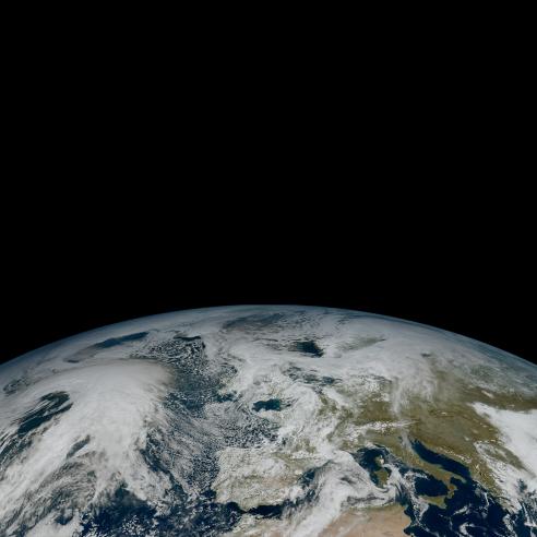
First image of the full Earth disc from Meteosat Third Generation – Imager 1

MSG SEVIRI compare1
compare2
 

Fires animation

The value of EUMETSAT’s newest and most-advanced meteorological satellite, MTG-I1, for monitoring and predicting storms is immense, but its value doesn’t end there! MTG-I1’s Flexible Combined Imager is also invaluable for monitoring wildfires, as this animation shows.

In it, fires in central Africa and their smoke plumes can be seen with more detail about their scale and intensity than has been possible from geostationary orbit up until now. The animation was created from imagery taken between 11:50 UTC on 18 March 2023 and 11:50 UTC 19 March 2023.

Lightning imaging

Applications benefiting from the Lightning Imager:

  • Improvements to nowcasting and very-short-range forecasting of severe thunderstorms through information on total lightning (intra-cloud, cloud-to-ground, and cloud-to-cloud lightning). Note: with optical pulse detection, it is not possible to distinguish between cloud-to-ground and cloud-to-cloud lightning
  • Continuous and simultaneous observations of total lightning in geostationary field of view, with high timeliness (120s, with goal of reaching 60s)
  • Detection, monitoring, tracking and extrapolation of the development of active convective areas and storm life cycles
  • Improvements to the quality of information essential for air traffic routing and safety

Service details

The information delivered to data users will be the time, position and intensity of detected optical pulses converted into geophysical flashes (point data).

Additionally, users will be provided with accumulated flashes over a period of 30 seconds (gridded data on the same grid as Flexible Combined Imager data, derived from accumulated point data), which can be further stacked for longer integration periods depending on the users’ application.

Continuous and simultaneous observations of total lightning with almost full-disc coverage, delivered to data users with very high timeliness provides - together with the associated FCI data - a valuable tool for assessment and nowcasting of severe weather from pure satellite data, over almost the full satellite field of view.

The Lightning Imager and climate applications

For climate purposes, the Lightning Imager will:

  • Help in assessing the impact of climate change on thunderstorm activity
  • Aid the study and monitoring of the physical and chemical processes in the atmosphere regarding nitrogen oxide (NOx), which plays a key role in the ozone conversion process and acid rain generation
  • Provide information on a global scale with known error characteristics. This information is needed in regional models to improve very-short-range forecasts of convective events and verification and validation of algorithms to nowcast convective initiation (time and location)

An example of statistics derived from a similar climate dataset from Lightning Imaging Sensor (LIS) and Optical Transient Detector (OTD) instruments on the US National Oceanic and Atmospheric Administration’s satellites is shown below.

Climate dataset from LIS and OTD instruments
Climate dataset from LIS and OTD instruments. Credit: NOAA/NASA

Other services

Geostationary Search and Rescue Relay

MTG carries a small communications payload Geostationary Search and Rescue Relay (GEOSAR,) to relay distress signals of 406MHz beacons to a central reception station in Europe, which passes the signals on for quick organisation of rescue activities. The geostationary relay allows a continuous monitoring of the earth disc and immediate alerting.

Data collection and retransmission

MTG will provide a data collection and retransmission service to collect and relay environmental data from automated data collection platforms, including surface, buoy, ship, balloon or airborne platform.