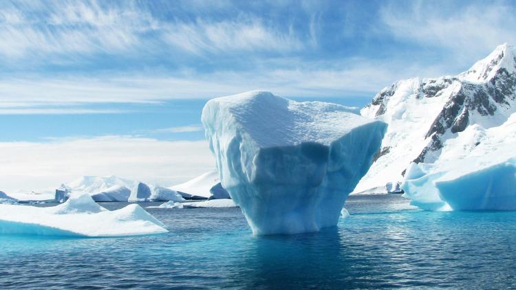
Climate
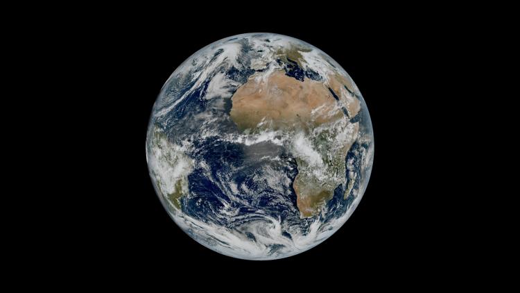
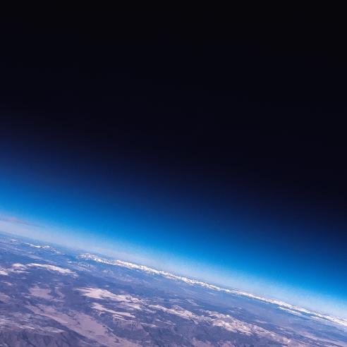
Monitoring our climate from space


EUMETSAT has been monitoring the weather and climate from space since the late 1970s.
16 October 2025
27 March 2020
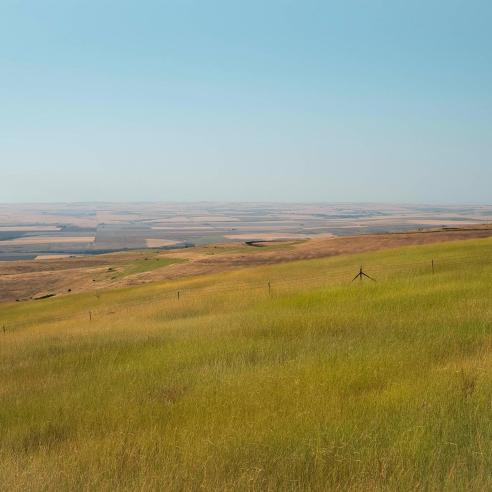
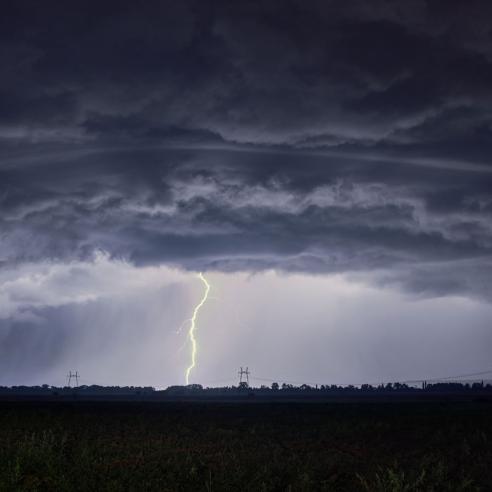
Climate is the set of weather patterns in a given region over a long period of time. Does it seem normal to you that it snows in January and that there are thunderstorms in August in Europe?
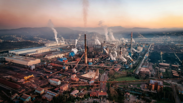
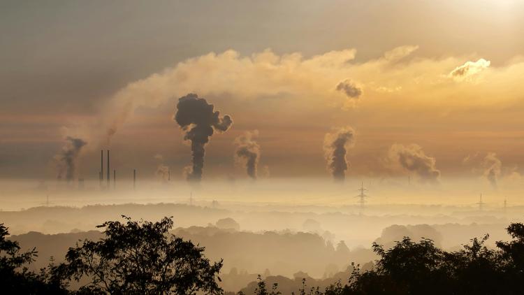
That's the European climate. African farmers living north of the equator rely on rain between June and September every year, whereas those living south of the equator rely on rain between January and March. That's the climate in the tropics. Climate change over the last few decades is upsetting these regular alternations and patterns, and jeopardising traditional cultures, habits and lifestyles.
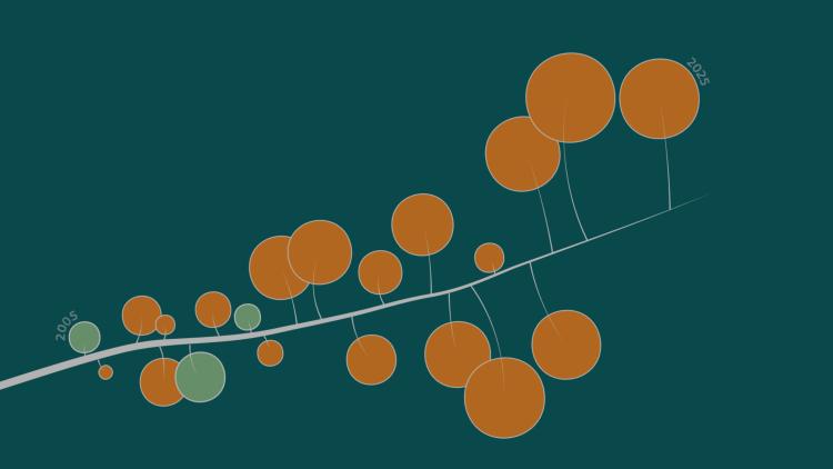
To study, understand and imagine how to monitor, mitigate, and adapt to these changes, we need data covering the longest possible periods. At EUMETSAT, we store and maintain satellite data sets dating back more than 40 years: these are among the longest and most complete sets of Earth observation data. They are an essential record to help improve our understanding of climate change, which is necessary for governments and decision-makers to act to mitigate and adapt to minimise its impact on society.
EUMETSAT’s role in climate monitoring
EUMETSAT is a world leader in providing the robust scientific data from space needed to understand climate variability and change. Our long-term, multi-satellite programmes provide an increasing portfolio of observations that are key contributions to climate monitoring.
The Meteosat weather satellites have been providing data for climate monitoring over Europe and Africa since 1978, building up in the process one of the longest time-series of climate data collected by satellite in the world.
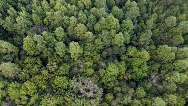
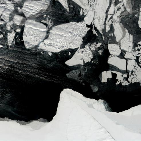
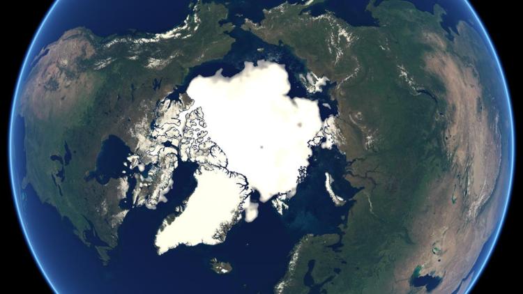
Closer to Earth, the Metop satellites, in operation since 2006, carry eight main instruments that provide more detailed, global data to monitor the atmosphere, oceans and land surfaces as well as the cryosphere.
In addition, ocean monitoring satellites such as the Jason series and Copernicus Sentinel-6 monitor global mean sea level rise due to climate change, while the Sentinel-3 satellites collect other essential ocean observations.
EUMETSAT processes these satellite observations to develop climate data records, which are time series of satellite measurements of sufficient length and consistency to determine climate variability and change.
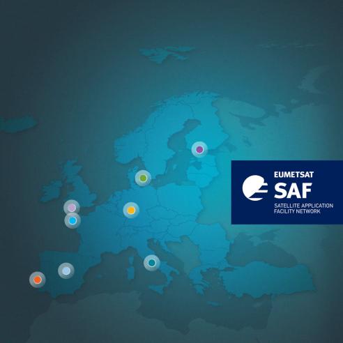
Our climate monitoring activities involve our central facilities in Darmstadt and the network of Satellite Application Facilities (SAFs) – with a leading role for the SAF on Climate Monitoring.
EUMETSAT delivers climate data and information available to its Member States, the Copernicus Climate Change Service, and users worldwide, including the global scientific community.

Please visit the EUMETSAT user portal to access data directly and find information on training activities.