
25 April 2024
01 November 2023
What are climate data records?
The term climate data record refers to any long-term record of calibrated data that is useful for climate science or climate applications.
Currently, we distinguish three types of Climate Data Records:
1) Fundamental Climate Data Records (FCDRs): these are time series of sensor observations, located in time and space, and of sufficient length and quality to be useful for climate science or applications. FCDRs are typically calibrated radiances, backscatter of active instruments, or radio occultation bending angles, and include the ancillary data used to calibrate them.
An example of a EUMETSAT FCDR is the time series of Meteosat First Generation visible and infrared observations (doi: 10.15770/EUM_SEC_CLM_0009).
2) Climate Data Records (CDRs): these are time series of a geophysical variable or related indicator, located in time and space, and of sufficient length, consistency and quality to be useful for climate science or applications.
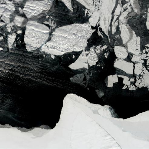
An example of a CDR is the time-series of satellite-based sea ice concentrations produced by the Ocean and Sea Ice SAF (OSI SAF) (doi: 10.15770/EUM_SAF_OSI_0008).
3) Interim Climate Data Records (ICDRs): these are times series of CDR values produced at lower latency [or higher timeliness] than, but otherwise minimising differences with, the estimated CDR values.
An example of an interim CDR is the time-series satellite-based sea ice concentrations produced by the Ocean and Sea Ice SAF (OSI SAF) (doi:10.15770/EUM_SAF_OSI_0014).

Why are climate data records important?
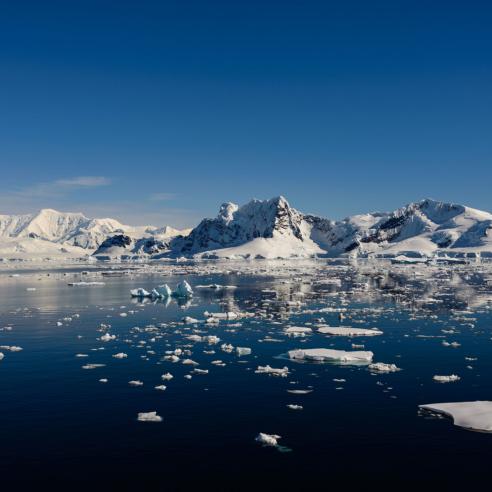
Climate data records provide trustworthy information on how, where, and to what extent the Earth’s atmosphere, land, cryosphere (e.g. ice sheets), and oceans are changing over long periods. For example: it can be crucial for scientists to have infrared observation of Europe from a geostationary orbit for the past 40 years to identify changes. Similarly analysing the extent of sea ice for the past decades gives important clues to climatologists.
They are used by a broad user community including the energy, water, agricultural, and healthcare sectors, as well as by national governments and local authorities and researchers.
Typically, climate data allow these communities to unravel the underlying climate trends and variability information, but also to assimilate these data in state-of-art climate reanalysis or use them in climate services. The information created in this process is important for the implementation of the Paris Agreement at the level of the United Nations.
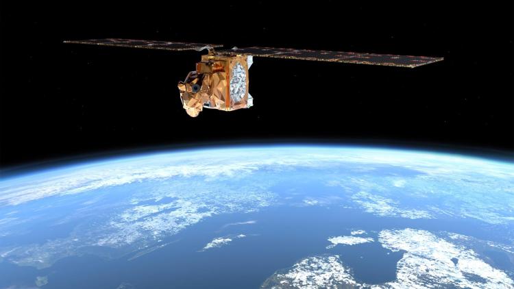
How do we observe climate from space?
Satellite sensors detect radiation reflected or emitted by the Earth. This can be radiation originating from the Earth’s atmosphere, surface, or even subsurface.
Satellite sensors are of two primary types: passive and active sensors (see Fig 1).
Passive sensors sense shortwave, solar radiation reflected by the Earth, or longwave, thermal, radiation emitted by the Earth in specific frequency bands.
Examples of passive sensors are SEVIRI on the Meteosat Second Generation satellites and IASI, and GOME-2 onboard the Metop satellites.
Active sensors provide their own source of energy to illuminate the objects they are sensing. An active sensor emits radiation in the direction of the target to be investigated. The sensor then detects and measures the radiation that is reflected or backscattered from the target. An example of an active sensor is ASCAT onboard the Metop satellites.

How do we ensure the quality of climate data records?
EUMETSAT produces climate data records by applying state-of-art data processors, which have advanced significantly during the last decade, to historical and present-day satellite data. These processors ensure that the data coming from different sources can form a coherent series that provides scientists with meaningful information over the past years or decades.
Our climate data records are operationally generated and are routinely checked on quality. The steps in establishing these operational climate data records involve a rigid research-to-operations process. This starts with defining the user requirements and is completed by a formal review of the data quality and corresponding documentation.
Only after this rigid process and a successful review of all data and documents is a climate data record officially released to the global user community.
Where can you find the data?
All data records produced by EUMETSAT and its SAFs are made available through EUMETSAT’s Data User Portal.
Access to these data records is open and free of charge. Through this portal, users can find sensor data records (FCDRs) and Climate Data Records (CDRs) of atmospheric, terrestrial, cryospheric, and oceanic parameters: