Land
Monitoring the land from space

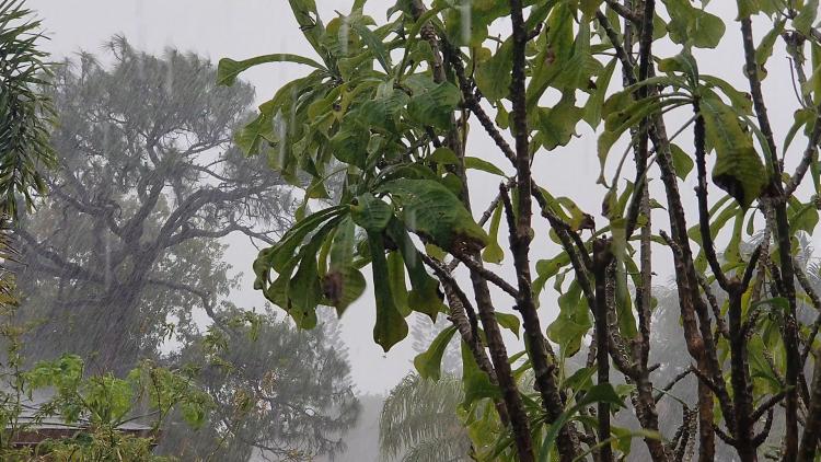
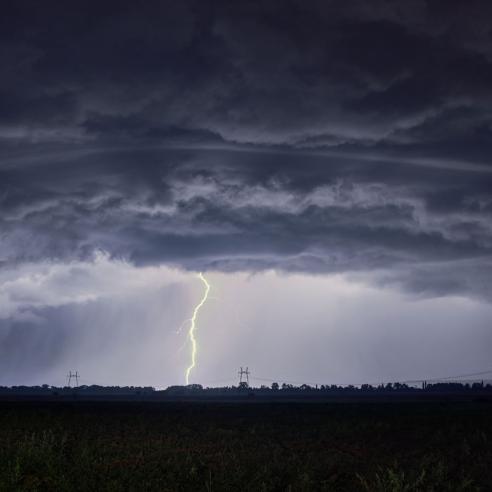
EUMETSAT-operated satellites play a fundamental role in monitoring the characteristics of the Earth's surface and its interactions with the atmosphere. The interface between land and atmosphere strongly influences and reacts to weather and climate conditions.
26 February 2026
27 March 2020
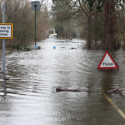
Satellites operated by EUMETSAT deliver crucial data on land surface temperature, the amount of solar radiation reaching the Earth surface, soil moisture, snow cover, vegetation cover and vegetation health as well as the quantity of water that evaporates from land-surfaces, fire risk and active fires. These data are available to the scientific community and to operational centres, such as weather and climate services and emergency management.
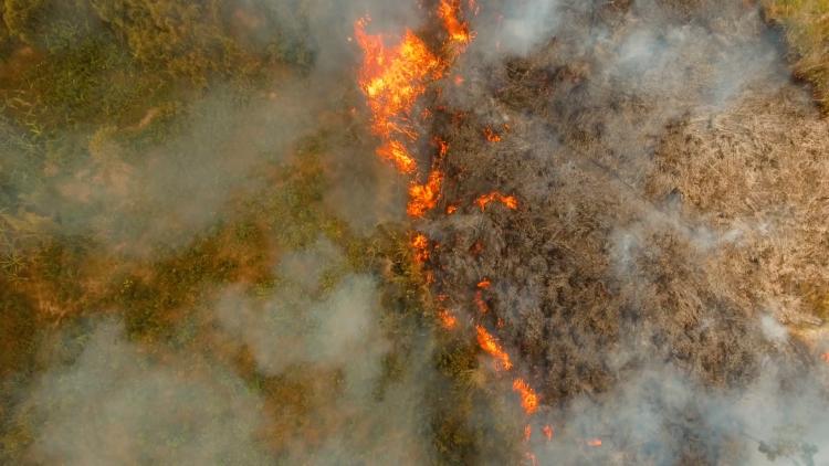
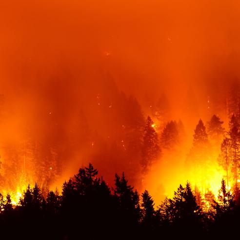
Information on land surfaces help to anticipate and manage natural hazards, to support the planning and management of renewable energy and to manage forest fires.
This information helps, for example, to predict where wildfires are likely to occur and how much damage they could cause. The data are crucial in the decision to issue warnings, inform emergency services and assist various economic actors with anticipatory measures and mitigation strategies. Once a fire has started, satellite data can monitor its intensity as well as estimate the amount of pollutants released to assess air quality.
Data about the surface of lands, especially all elements related to the energy and water cycle (soil moisture, evaporation of water, land surface temperature) are crucial for weather forecast models and to improve our understanding of the interactions between land and atmosphere. Long-term, homogeneous, high-quality data records, which are produced at EUMETSAT can be used to assess changes in land surface characteristics and in land atmosphere interactions.
Please visit the EUMETSAT user portal to access data directly and find information on training activities.