


Last Updated
09 April 2026
Published on
16 June 2020
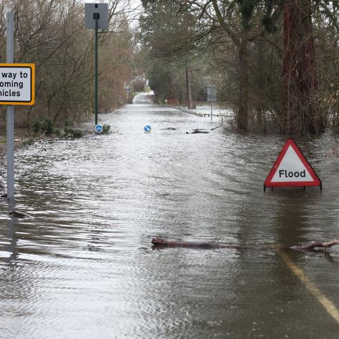
The LSA SAF uses satellite observations to offer vital information for agriculture, forestry, land use planning and disaster management. By analysing parameters such as evapotranspiration, fire detection, and land surface temperature, the LSA SAF supports the monitoring and prediction of environmental changes. It aids in improving sustainable land management practices and helps forecast natural hazards like droughts or floods.
Find out more about the LSA SAF here.
To learn more about EUMETCast visit the EUMETSAT User Portal.
SAF leader

IPMA — Portugal
Consortium members
France
RMI — Belgium
KIT — Germany
IDL, University of Lisbon — Portugal
United Kingdom
ARSO — Slovenia
NIMH — Bulgaria
Belgium