Weather
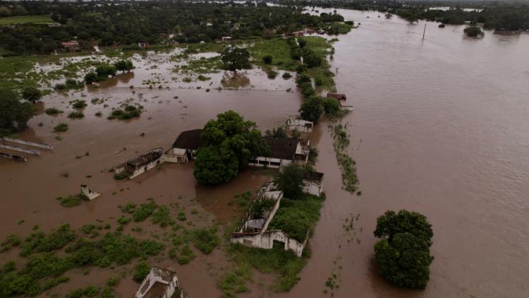
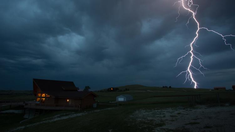
EUMETSAT’s satellite data are used to protect lives and property


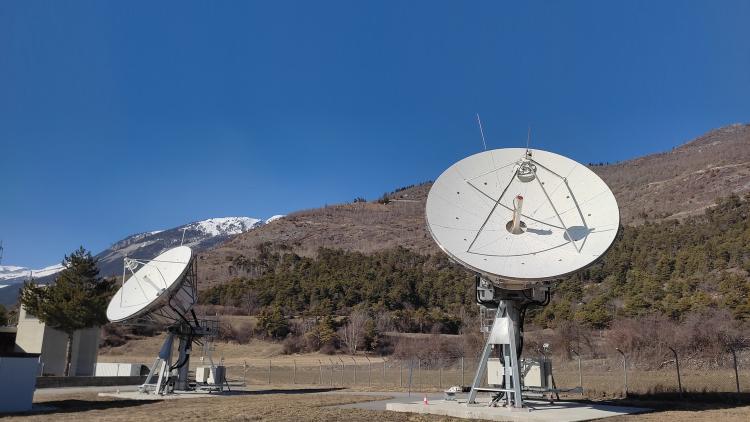
EUMETSAT operates Europe's weather satellites and delivers their data to the national weather services in our member states in real time.
16 October 2025
26 March 2020
We have been monitoring the weather and climate from space for more than 35 years, providing data crucial for the protection of life and property and beneficial for key economic sectors.
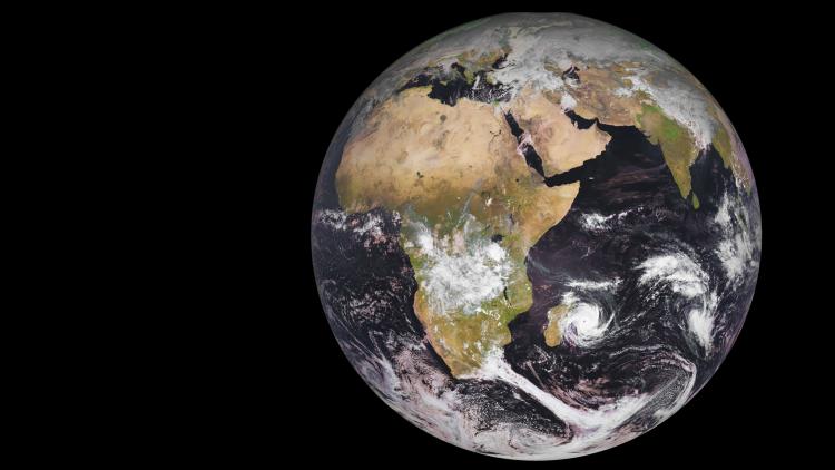
EUMETSAT’s Meteosat and Metop satellites provide observations that are critical for weather forecasting accuracy.
The Meteosat satellites are in geostationary orbit 36,000km above the Earth. They provide imagery used for the early detection of fast-developing severe weather (nowcasting), weather forecasting and climate monitoring.
The first of the third generation of Meteosat satellites was launched in 2022.
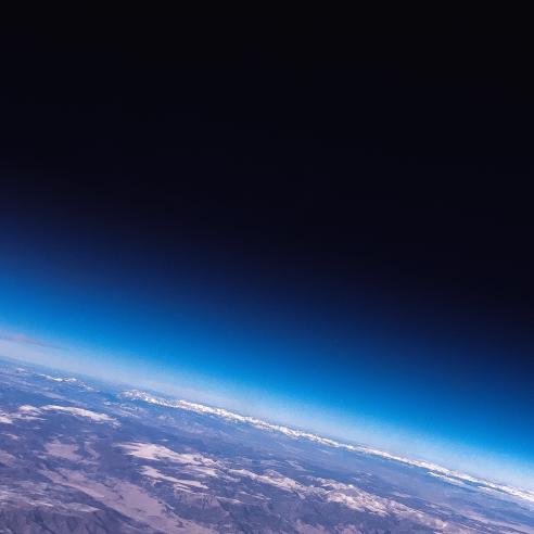
The Metop satellites fly on an orbit closer to the Earth, at 817km altitude, and provide detailed global observations of the atmosphere, oceans and land. These data are essential for weather forecasting (numerical weather prediction) up to 10 days ahead, as well as for climate monitoring.
The second generation of these polar-orbiting satellites will be launched in the mid-2020s.
EUMETSAT is also a partner in the cooperative sea level monitoring and Copernicus Sentinel-6 missions involving Europe and the United States. We also operate the Copernicus Sentinel-3 ocean-monitoring satellites in cooperation with the European Space Agency and the European Union.

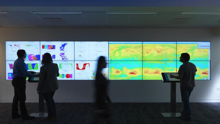
You can access EUMETSAT’s weather data via the EUMETSAT User Portal.