
09 March 2026
19 May 2020
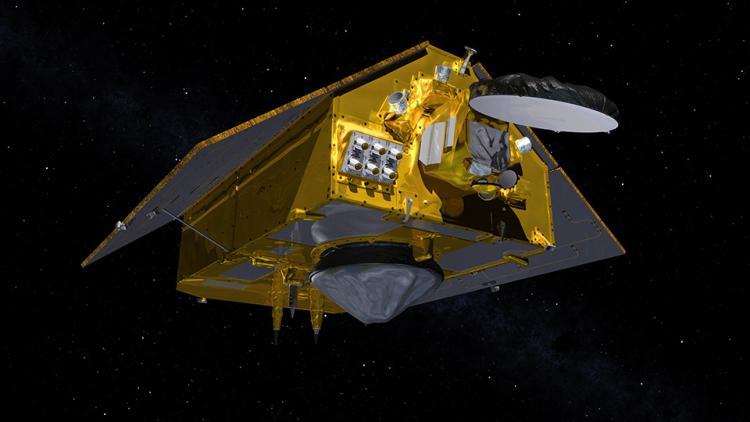
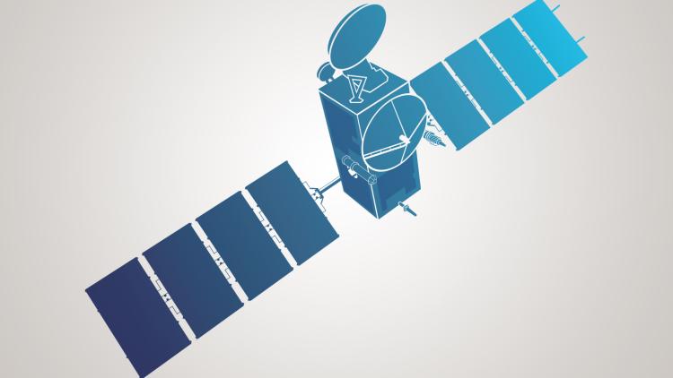
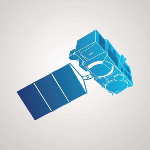
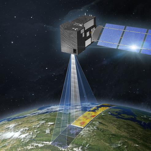
The two satellites carry each a Poseidon-4 radar altimeter and a microwave radiometer.
Variations in sea level in our changing climate (mm per year) can only be monitored on a global scale by high-precision ocean altimetry. This enables monitoring the trends in sea level that can affect coastal areas in the mid to long term. These measurements are also essential to understand how the ocean stores and redistributes heat, water and carbon in the climate system.
In addition, the altimetry instrument provides measurements of wind speed at the ocean surface and significant wave height, which are ingested for daily ocean forecasts.
Other instruments on board the satellite collect high resolution vertical profiles of temperature, using the GNSS Radio Occultation sounding technique, to assess temperature changes in the troposphere and stratosphere and to support Numerical Weather Prediction.
Measuring global sea level
The Copernicus Sentinel-6 mission will extend the unique record of mean sea level rise that began in 1992 with the TOPEX/Poseidon mission (1992-2006) and continued with the Jason (2001-2013), Jason-2 (2008) and Jason-3 (2016) satellites.
After its launch in November 2020, the Copernicus Sentinel-6 Michael Freilich satellite took over the role as reference altimetry mission. This means it provides the unique millimetric precision against which other satellite altimetry data are cross-calibrated, to ensure the overall accuracy of all altimetry missions for ocean and weather forecasts.
The continuity of mean sea level rise monitoring will be secured with Copernicus Sentinel-6B, which was launched in November 2025, and will take over the role as reference altimetry mission from its predecessor.