06 March 2026
16 November 2022
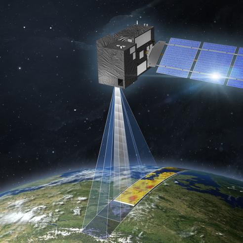
Altimetry services
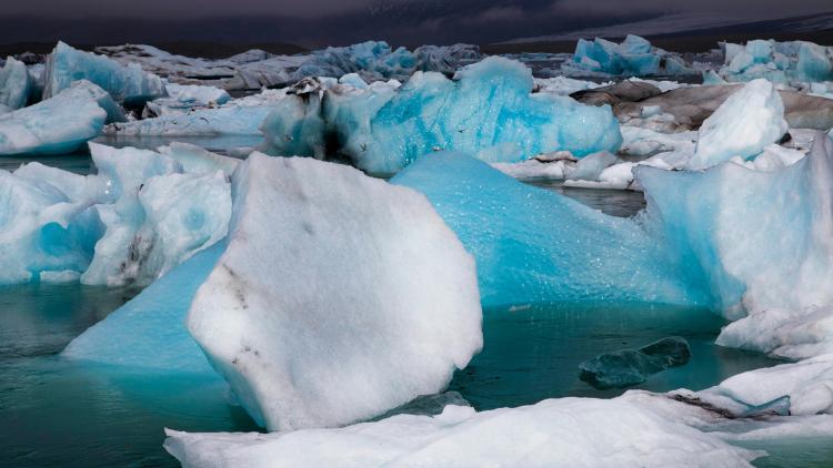
Altimetry data can be used to determine the height of the surface of seas and lakes, and of significant waves. They can also determine surface wind speed and the height and thickness of sea ice.
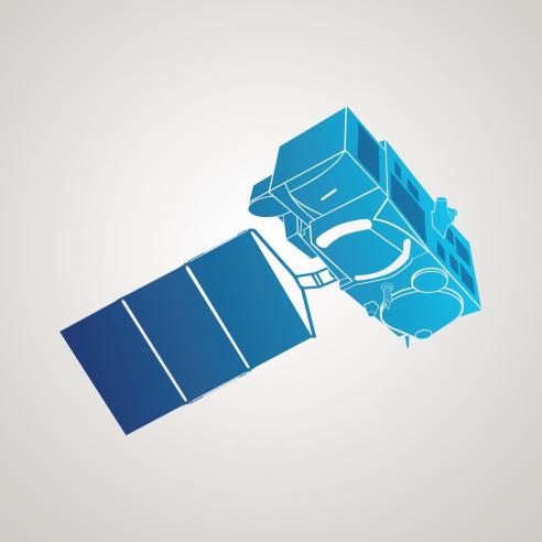
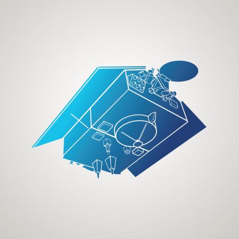
EUMETSAT operates the Sentinel-3, Sentinel-6, and Jason-3 satellites, which have altimetry instruments on board. EUMETSAT delivers data from these instruments and provides access to historical data from Jason-2.
More information about the Sentinel-3 altimetry service can be found here, while Sentinel-6 can be found here.
Atmospheric composition services
The Copernicus Sentinel-3 mission includes instruments that monitor the composition of our atmosphere. These data are used for monitoring air quality and the climate.
The Sea and Land Surface Temperature Radiometer on Sentinel-3 satellites provides data on fire radiative power and aerosols, which are fine particles in the atmosphere.
You can find more information about Sentinel atmospheric composition services here.
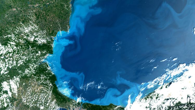
Ocean colour services
Ocean colour data provide information about the oceans’ living ecosystems, as well as measurements of water quality and sediment dynamics.
The Ocean and Land Colour Instrument on Copernicus Sentinel-3 satellites provides data that can be used to monitor global ocean primary production by phytoplankton, the basis of nearly all life in our seas. Ocean colour data are vital for understanding climate change — ocean colour is one of the essential climate variables listed by the World Meteorological Organization to detect biological activity in the ocean’s surface layer.
You can find more information about this service here.
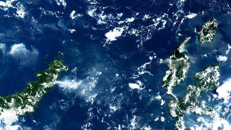
Sea surface temperature services
The Sea and Land Surface Temperature Radiometer (SLSTR) on Copernicus Sentinel-3 satellites measures sea surface temperature, land surface temperature, sea ice and land ice temperature, aerosols, cloud properties and fire radiative power.
Sea surface temperature data are used as inputs for weather and ocean forecasts, and to observe and monitor ocean current systems and ocean fronts, eddies, upwelling areas, marine ecosystems and the development of large scale El Niño/La Niña events.
You can find more information about the sea surface temperature service here.
Learn more about Sentinel services by visting the EUMETSAT User Portal.