Explore our data
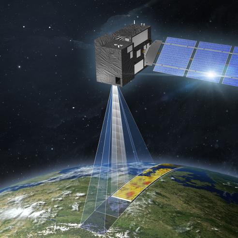
The satellites carry three instrument packages focusing on high-accuracy optical, thermal and altimetry data for marine and land services.

Monitoring the marine environment, fires, and atmospheric composition

21 November 2025
26 May 2020
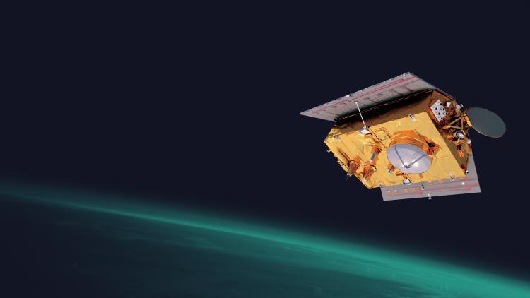
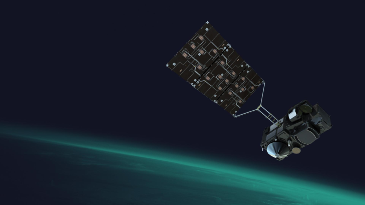
The two Sentinel-3A and -3B satellites are in a near polar, sun-synchronous orbit at an altitude of 815 kilometres.
EUMETSAT operates the satellites, on behalf of the European Commission, in cooperation with ESA. EUMETSAT is also responsible for processing and distribution of the marine data and the near-real time atmospheric products, whilst ESA delivers the land and non-time critical atmospheric products.
In the marine environment, the constellation of two Sentinel-3A and -3B satellites collect measurements used to derive global ocean colour, sea surface temperature and sea surface height. These instruments can also be used to measure atmospheric data including information on air quality, clouds and fires.
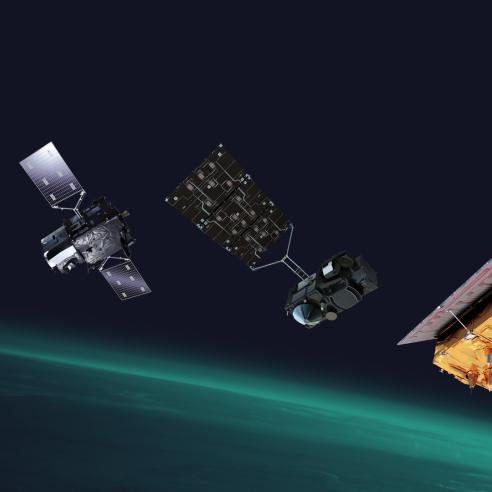
The future launch of two additional satellites (Sentinel-3C and -3D) will guarantee the ongoing data continuity from the Sentinel-3 satellites into the 2030s.

The Ocean and Land Colour Instrument (OLCI) measures the reflectance of sunlight from Earth's surface in 21 spectral bands at a resolution of 300 metres. This data can be used to map ocean colour, vegetation cover, and land use.
The Sea and Land Surface Temperature Radiometer (SLSTR) measures sea and land surface temperatures in 9 spectral bands at a resolution of 1km. This data can be used to track changes in sea ice, monitor ocean currents, and study climate change.
The Synthetic Aperture Radar Altimeter (SRAL) is used to measure sea and lake surface height, significant wave height, ocean surface wind speed and sea ice height and thickness.
The Microwave Radiometer (MWR) measures atmospheric water vapour which is used to correct the data received by the SRAL instrument.
Sentinel-3 data supports many applications including: measuring sea and lake surface topography; sea and land surface temperature; sea-ice and land ice elevation and ocean and land surface colour to support ocean forecasting systems, environmental monitoring and climate monitoring. It is also used for monitoring atmospheric composition, clouds and wildfires or gas flares.