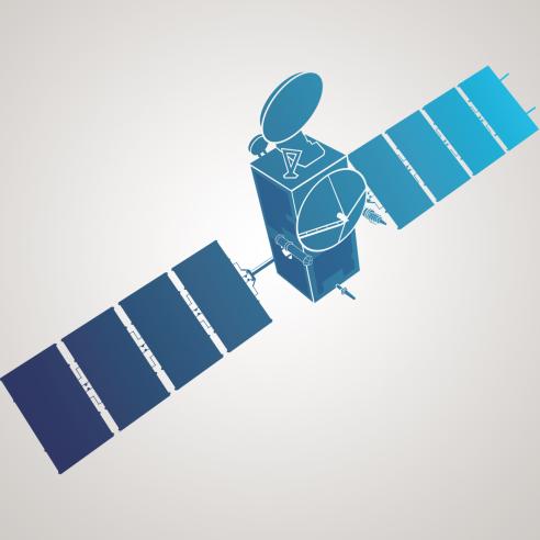
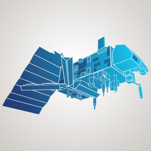
Metop series
Polar-orbiting satellites provide global observations for weather forecasts and climate monitoring

As extreme weather events become more frequent and severe, the need for high-resolution weather and climate data grows.
06 March 2026
15 April 2020
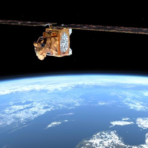
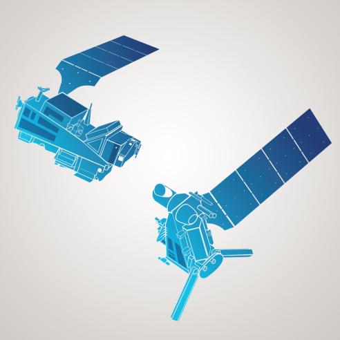
EUMETSAT operates two satellites, Metop-B and Metop-C, that increase the accuracy of life-saving weather predictions by providing essential worldwide observations of the atmosphere, ocean, and land.
Satellites in a low Earth orbit complement the more frequent data from geostationary orbit by providing greater global coverage and more diverse data sets.
While geostationary satellites like EUMETSAT’s Meteosat provide vital imagery for forecasts of high impact weather ranging from minutes to a few hours, they cannot deliver all the highly detailed and diverse observations required by meteorologists for short and medium range forecasts (up to ten days ahead), due to their position high above the Earth. Additionally, Meteosat only has around 33% of the Earth’s surface in its field of view, which is not enough to cover the polar regions and high latitudes of northern Europe and deliver the global view expected by climatologists for monitoring the changing climate of our planet.
EUMETSAT Polar System
This is the purpose of the EUMETSAT Polar System (EPS) built around the Metop satellites. Metop satellites fly in polar orbit at an altitude of approximately 817km - about 42 times closer to the Earth than a geostationary satellite – and provide a wealth of ocean, land and atmospheric observations such as detailed temperature and humidity profiles, sea surface wind speeds, and atmospheric composition, thus complementing observations acquired from geostationary orbit.

The EUMETSAT Polar System is the European contribution to the Initial Joint Polar System Agreement (IJPS), an agreement between EUMETSAT and NOAA. The Metop satellites fly in a low Earth orbit corresponding to local 'morning', while the US is responsible for 'afternoon' coverage. IJPS cooperation also includes the exchange of instruments on respective satellites and operational cross-support such as sharing ground stations for the downlink of data, in order to improve data delivery timeliness to users.
Global data for weather forecasting and climate monitoring
Metop satellites deliver a substantial variety of global measurements from multiple instruments on board, that can be used to provide information for the atmospheric models used in numerical weather prediction – the method by which the weather is forecast up to two weeks ahead. In addition, Metop data form a key data source for long-term climate monitoring as well as real-time observations for forecasting immediate weather – known as nowcasting – which is particularly helpful for predicting severe weather events at higher latitudes which are poorly observed by geostationary satellites.
Amongst others, the Metop satellites provide data on:
- wind speed and direction over the oceans, for use in weather forecasting
- temperature and humidity profiles used to support numerical weather prediction and for making atmospheric forecasts,
- the total atmospheric content of ozone and the vertical ozone profile in the atmosphere,
- atmospheric water in all of its forms except for small ice particles,
- land and sea surface temperature, cloud cover, snow and ice cover, soil moisture, and vegetation.
Since the launch of the first Metop satellite in October 2006, the benefits obtained from EPS have far surpassed expectations as a result of its unique and innovative capabilities. Metop data make an indispensable contribution to numerical weather prediction models used by national meteorological services to deliver forecasts, severe weather warnings and other support to public and private decision making.
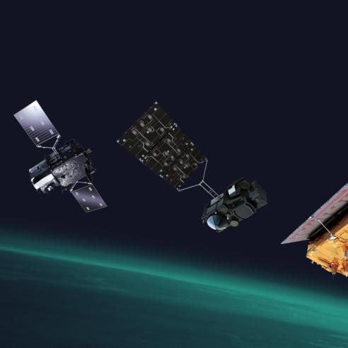
The first generation of Metop satellites comprises Metop-A, Metop-B and Metop-C, of which Metop-B and –C are still operational.
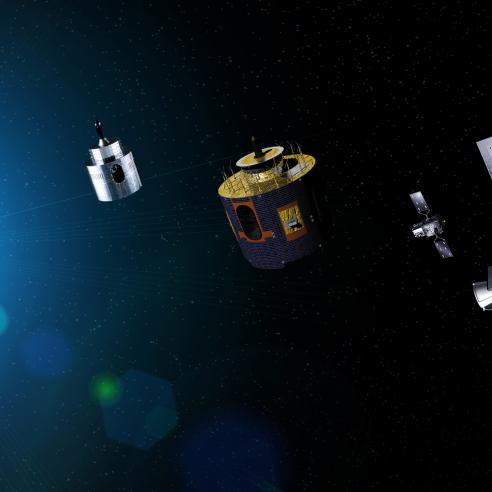
The first satellite in the second generation of Metop, Metop-SGA1, was launched on 13 August 2025 and is currently in commissioning.
For more information relating to Metop data, please visit the EUMETSAT User Portal.
Metop series launch timeline

Metop-A
Launched on 19 October 2006, retired 30 November 2021
Metop-B
Launched on 17 September 2012
Metop-C
Launched on 7 November 2018
Planned satellite launch dates can fluctuate due to various factors. For more information on our future launches, see our dedicated launch timeline.
Metop-SGA1
Launched on 13 August 2025
Metop-SGB1
Planned: June - August 2026
Metop-SGA2
Planned: April – June 2032
Metop-SGB2
Planned: January – March 2033
Metop-SGA3
Planned: April – June 2039
Metop-SGB3
Planned: January – March 2040