
Our satellites
EUMETSAT operates fleets of satellites from its control centre in Darmstadt, Germany


EUMETSAT operates fleets of satellites on different orbits to provide a wide range of information needed by weather forecasters, climate scientists and other data users.
15 July 2025
16 November 2022
EUMETSAT’s ability to provide data from its satellites 24 hours a day, every day, is essential. Our member states’ meteorological services need the data from the instruments on our satellites to provide timely, accurate weather forecasts for their communities and to monitor the climate.
Our satellite systems are operated from EUMETSAT’s high-tech mission control centres in our headquarters in Darmstadt, Germany.

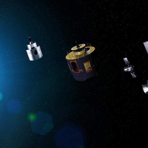
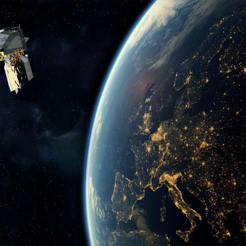
Meteosat
The Meteosat fleet of satellites flies on an orbit about 36,000km from the Earth. From there, the Meteosats maintain the same field of view of the planet below as the Earth spins.
These satellites are particularly important for detecting and forecasting rapidly developing, severe weather events, such as storms, and for climate monitoring.
The first Meteosat satellite was launched in November 1977. The first satellite in the third generation of Meteosats was launched in December 2022.
Each generation of Meteosats has incorporated significant technological advances designed to provide more precise information, more quickly.
You can find out about the Meteosat satellites here.
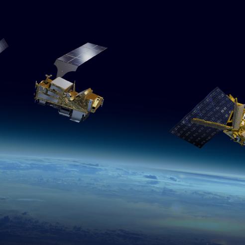
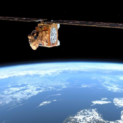
Metop
The Metop satellites fly on a low-Earth orbit, at an altitude of 817km, circling the globe every 101 minutes.
They provide the detailed, global observations of the atmosphere, oceans and land that are required for weather forecasts from 12 hours to 10 days in advance. The data are also essential for climate monitoring.
The first Metop satellite, one of three identical spacecraft carrying suites of nine instruments, was launched in 2006.
The first of the second generation of these satellites is planned for launch in 2025.
You can find out about the Metop satellites here.


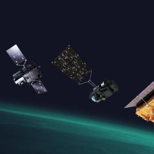
Sentinel series
Copernicus is the European Union's Earth observation programme and offers information services that draw from satellite Earth observation and in-situ data.
The Sentinels are the satellites which were developed to meet the specific needs of the Copernicus programme. Sentinel-1, -2, -3 and -6 are dedicated satellites, while Sentinel-4 and -5 are instruments to be flown on board EUMETSAT’s Meteosat Third Generation and Metop Second Generation satellites.
EUMETSAT operates the Sentinel-3 and -6 satellites and processes and disseminates their data. EUMETSAT will also operate and deliver products from the Sentinel-4, and -5 instruments.
You can find more about the Sentinels here.
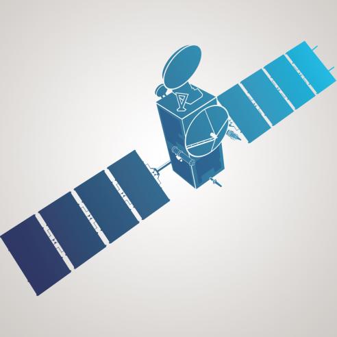
Jason series
The Jason satellites belong to a joint European-US mission that has undergone several changes in name but maintains a critical function – precise measurements of global mean sea level.
The first satellite in the series, then known as TOPEX-Poseidon, was launched in 1992. The uninterrupted time series of global mean sea level was maintained by Jason-1, -2 and -3.
Jason-3 was replaced as the reference high-precision ocean altimetry mission by Copernicus Sentinel-6 Michael Freilich in April 2022 and now flies on an interleaved orbit.
You can find out more about Jason-3, which is essential for climate monitoring and seasonal weather forecasting, here.
