


Copernicus Sentinel-3
Dedicated Copernicus satellite mission delivering a variety of high-quality ocean measurements.

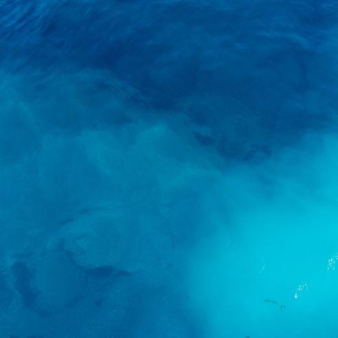
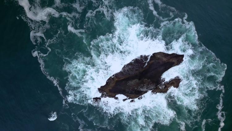
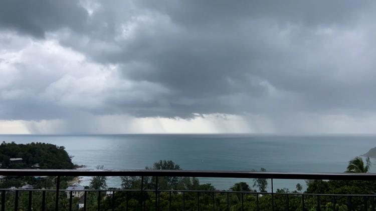
Satellites collect continuous, long-term global observations of the oceans

16 October 2025
27 March 2020
Ocean-monitoring satellites deliver accurate, reliable and stable data about the state of the global oceans for weather forecasting, ocean forecasting and climate monitoring. The integration of these observations of the physical and biological state of the oceans into modelling, together with equally indispensable in situ observations from buoys, ships, ARGO floats and other sources, allows for forecasting at global, basin and coastal scales.
The Copernicus Sentinel-6 and Jason-3 missions provide global sea surface height observations for weather and ocean forecasting and climate monitoring.
The Copernicus Sentinel-3A and -3B satellites collect observations of global ocean colour, sea and sea ice surface temperature and sea surface height.
In addition, EUMETSAT’s Meteosat satellites provide hourly measurements of sea surface temperature, while the Metop satellites provide global observations of ocean surface wind, sea ice, and sea surface temperature, and collect in situ observations of the ocean through the ARGOS system.
EUMETSAT, with the support of the Ocean and Sea Ice Satellite Application Facility (OSI SAF), delivers ocean data from these satellites to its member states, the Copernicus Marine Service (CMS) and the Copernicus Climate Change Service (C3S), and data users worldwide.

Please visit the EUMETSAT User Portal to access data directly and find information on ocean training activities.