

23 February 2026
26 May 2023
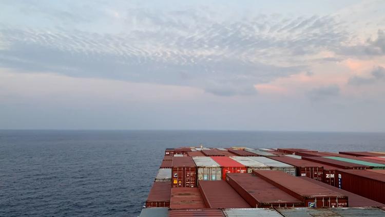
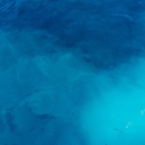
Observing and monitoring the surface temperature of sea ice is critical for determining the state of the polar oceans.
Sea surface temperature and sea ice temperature are essential variables for operational oceanography, weather forecasting and climate monitoring and prediction.
EUMETSAT monitors and observes both variables via instruments on low-Earth-orbiting and geostationary satellites, including:
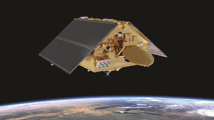
- the Copernicus Sentinel-3 Sea and Land Surface Temperature Radiometer (SLSTR), which provides the highest quality operational reference observations
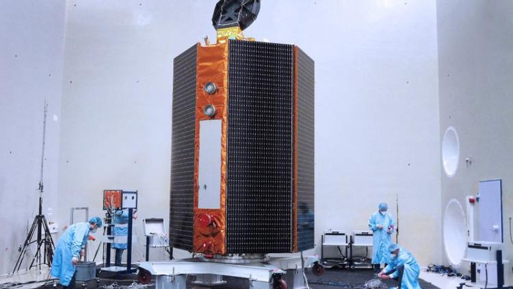
- the IASI and AVHRR instruments on Metop satellites, which produce sea surface temperature products, and the imagers on board Meteosat Second and Third Generation satellites (SEVIRI and FCI), which provide sea surface temperature products for distribution in near-real time by the EUMETSAT Ocean and Sea Ice Satellite Application Facility (OSI SAF)
Instruments on future satellites will continue these observations, including:
- the Metimage and IASI-NG instruments on Metop Second Generation satellites
- the Infrared Sounder (IRS) on Meteosat Third Generation – Sounder satellites
- the Copernicus Imaging Microwave Radiometer (CIMR)
- the Advanced SLSTR (ASLSTR) on Sentinel-3 Next Generation Optical satellites
Sea Surface Temperature (SST) and sea-ice surface temperature (IST) data are used as critical boundary parameters for weather and ocean forecasting, to observe and monitor ocean current systems and to understand the status of the polar oceans, ocean fronts, eddies, upwelling areas and marine ecosystems. These observations are essential for monitoring the development of large-scale El Niño and La Niña events.

Sea surface temperature data are essential for weather forecasting influencing the prediction of storm tracks, storm intensities and coastal flooding. These data are also important for the monitoring and prediction of marine and atmospheric heat waves.
Sea surface and sea ice temperature data are essential climate variables (ECV), due to their importance for the global heat budget.
Sea surface temperature data are also used to improve understanding of the ocean surface layer, upper ocean variability, energy transfer, air-sea interactions, the impact of changes in the temperature of the ocean surface over the course of the day and changes between the temperature at the ocean surface and the depths below.
These data are also used to help manage marine ecosystems, for example, to identify frontal areas with large shoals of fish or to monitor coral bleaching events for travel and tourism.
More information
The Monitoring and Evaluation of Thematic Information from Space (METIS) for Sea-Surface Temperature is developed to routinely monitor EUMETSAT’s operational sea surface temperature products, including those from Copernicus Sentinel-3 Level-2 SLSTR sea surface temperature and OSI-SAF sea surface temperature derived from EUMETSAT polar-orbiting satellites.
For more information about Sentinel-3 sea surface temperature data and products, see the EUMETSAT User Portal.
Documents and resources relevant to Copernicus Sentinel-3 SLSTR SST can be found here.
Products notices relevant to Copernicus Sentinel-3 SLSTR SST can be found here.
More information about SST and IST products from the EUMETSAT Ocean and Sea-ice Satellite Application Facility here.