

10 March 2026
26 May 2023
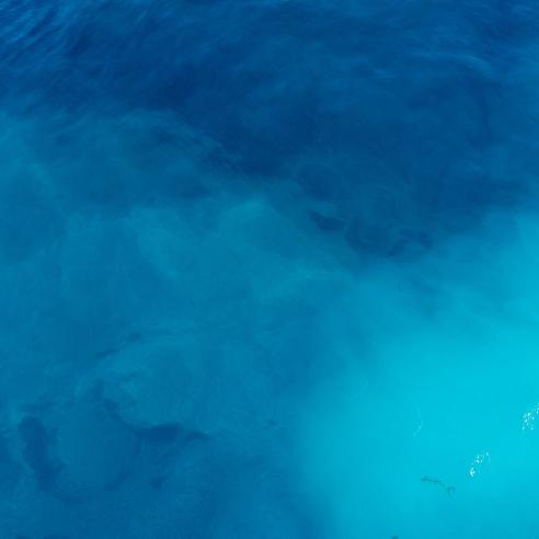
Satellite ocean altimeters monitor sea level, significant wave height, ocean currents and eddies and can help derive the latent heat in oceans. All of this information is crucial for weather forecasting and climate monitoring.
The Earth’s mean sea level rises at typical rates of a few millimetres per year but varies in location and time. It is a key indicator of climate change. To detect the impact of climate change, homogeneous data, collected over a long period of time, are required. Satellite altimeters have been monitoring global mean sea level for more than three decades.
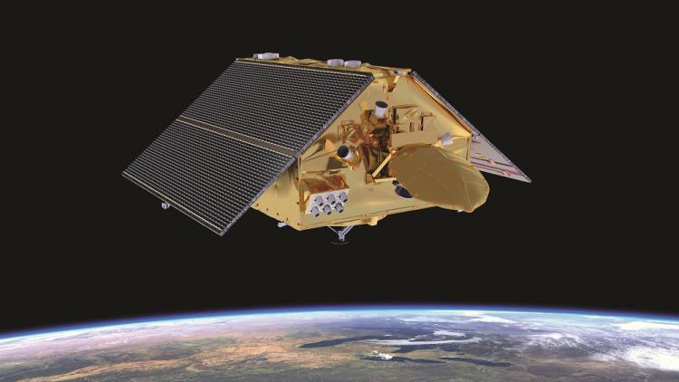
Copernicus Sentinel-6 Michael Freilich is the reference high-precision ocean altimetry mission. This means other ocean altimetry measurements are cross-referenced against it for accuracy. Launched in November 2020, this satellite took over the reference mission role from Jason-3 and continues an unbroken record of high-precision measurements dating back to 1992.
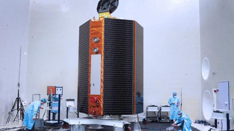
The Copernicus Sentinel-3A and -3B satellites, among a larger suite of Earth monitoring equipment, each include satellite altimeters as well. Flying in two interleaved ground tracks, they reach to higher latitudes and densify the observations by Sentinel-6 Michael Freilich and Jason-3.
The height of the oceans is also an indication of what is happening in the column of water below the place the measurement was taken, for example, the latent heat below the surface. This information is used by weather forecasters in complex models of the oceans and atmosphere. These can be used for seasonal forecasts of the weather in the months ahead and to predict the track of hurricanes, for example.

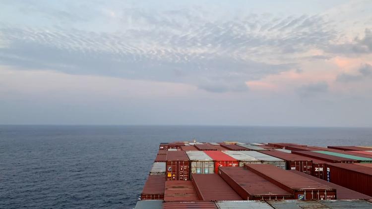
The data provided by satellite-borne ocean altimeters have many uses and bring benefits to a wide range of economic sectors, from fisheries and aquaculture to tourism and transport. Observations of ocean currents and eddies can be used in a range of applications, from weather forecasts to monitoring and predicting the track of a pollution event. Ocean surface topography and monitoring of significant wave heights is crucial for maritime safety.
To find out more about EUMETSAT’s altimetry data and products, visit the EUMETSAT User Portal.
Global cooperation to meet a global challenge
The Copernicus Sentinel-6 mission is a cooperative international mission involving EUMETSAT, the European Commission, the European Space Agency (ESA), NASA and the United States’ National Oceanic and Atmospheric Administration (NOAA).
Jason-3’s partners are EUMETSAT, the French Space Agency (CNES), NOAA, NASA and the European Union (EU). It was the first dedicated altimetry mission funded by the EU’s Copernicus environment-monitoring programme.
The Copernicus Sentinel-3 mission involves EUMETSAT, ESA and the European Commission.