


Last Updated
09 April 2026
Published on
24 June 2020
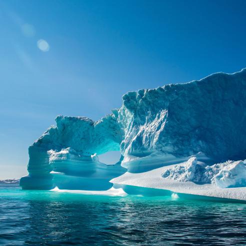
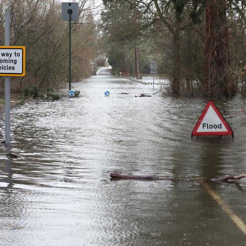
By providing data on sea surface temperatures, ice concentrations and surface wind patterns (speed and direction), the OSI SAF provides valuable insights for weather forecasting, climate studies, and navigation. Its continual monitoring of sea ice thickness and drift aids in the understanding of climate change and its impact on polar regions. The OSI SAF's products and services are essential for various maritime sectors, ensuring safety, efficiency, and sustainability.
Find out more about the OSI SAF here.
To learn more about EUMETCast visit the EUMETSAT User Portal.

SAF leader
France
Consortium members
IFREMER — France
DMI — Denmark
KNMI — Netherlands