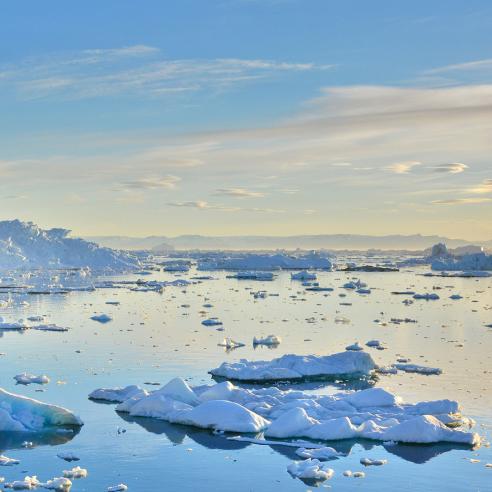
Ice floes

Climate monitoring (CM SAF)


Information about the climate variables of the Earth system

Ice floes
Ice floes

The CM SAF generates and archives high-quality climate datasets on a continuous basis.

Last Updated

09 May 2022

Published on

23 June 2020

SAF on Climate Monitoring website

CM SAF logo

SAF objectives

The CM SAF generates and archives high-quality datasets for specific climate application areas, through the exploitation of satellite measurements with state-of-the-art algorithms, to derive information about the climate variables of the Earth system. CM SAF is also engaged in training customers in the use of CM SAF products.

It aims to provide data that can be further used to assess the current climate, e.g. for infrastructure planning; to assess the climate variability and change, including climate change detection and attribution; to support the development of climate models; by validating long-range and short-term climate forecasts; to assess the impact of changing environment, and to provide evidence for policy actions.

The applications cover the objectives of various international programs — such as Global Climate Observing System (GCOS), World Climate Programme (WCP) and World Climate Research Programme (WCRP) — and are also vital for activities within the Group on Earth Observations (GEO) and Copernicus framework.

The Total Precipitable Water product, visualised in this animation, illustrates the average daily water vapour content in the atmosphere over the oceans throughout 2005. Importantly, the extended period of satellite observations available allow climatologists to see patterns and trends over a 20-year period.


SAF leader and consortium

Leading entity

CM SAF products

spinner loading