
Meteosat Third Generation - Weather and climate monitoring like never before
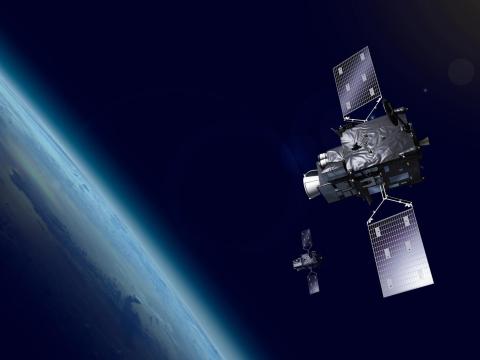
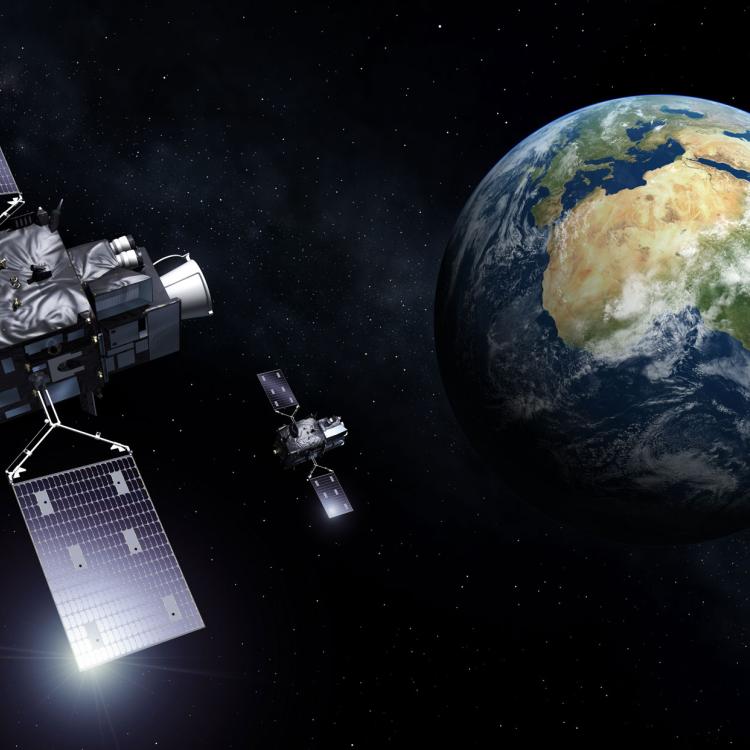
Meteosat Third Generation (MTG) is a new system of geostationary satellites operated by EUMETSAT, Europe's meteorological satellite agency.

EUMETSAT’s new generation of geostationary satellites

06 March 2026
22 May 2020
Severe storms pose significant and increasing hazards to society. The Meteosat Third Generation system will provide weather forecasters with new, more precise and more frequent data to assist them to meet one of their greatest challenges – providing timely and accurate forecasts of rapidly developing, high impact weather events.
Building on the decades-long legacy of Meteosat’s first and second-generation satellites, Meteosat Third Generation (MTG) will revolutionise storm prediction, enhance weather forecasts, extend climate records, and provide a wide range of essential observations.
These measurements will underpin services, support livelihoods, and help save lives.
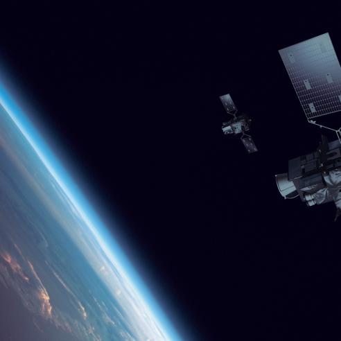
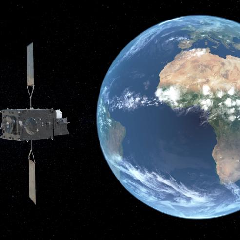
The first of the new satellites, Meteosat-12, was launched in December 2022. The second satellite, MTG-S1, was launched on 1 July 2025.
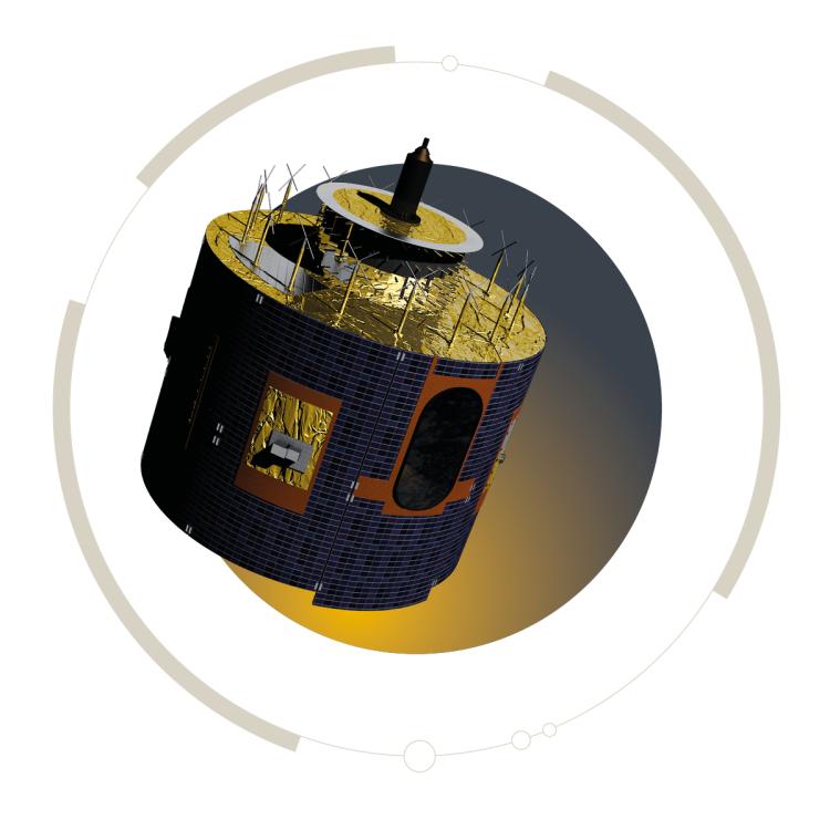
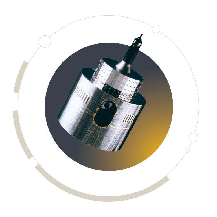
MTG is one of the most complex and innovative geostationary meteorological satellite systems ever built. The complete constellation consists of three spacecraft: two imaging satellites and one sounding satellite. The MTG sounding satellite will be the first of its kind in geostationary orbit.
Based on user requirements collected by EUMETSAT during the planning phase of this programme, MTG will provide near-real-time, 3D snapshots of important characteristics of the atmosphere.
One of the biggest benefits from these observations will be improvements to nowcasting, or very short-range forecasting. Forecasters will be able to track the development of storms in near-real time. The aim is to enable them to provide more precise and timely warnings about severe and dangerous weather events.
By providing more detail about current weather conditions, MTG will also help improve the accuracy of longer-range forecasts. Regular atmospheric soundings will provide more detailed information about developing weather patterns for numerical weather prediction models.
MTG is also the first geostationary weather satellite system with the capability to detect lightning data over Europe, Africa, the Middle East and parts of South America, and the surrounding waters.
The MTG system will enable weather forecasters, for the first time, to track the full lifecycle of a storm from space, from initial instability in the atmosphere through to lightning strikes.
Understanding climate change requires long-term, homogeneous data. MTG's decades-long mission guarantees continuity of geostationary data into the future. The long-term, consistent, extensive, and directly comparable datasets provided are invaluable to climate studies. Once MTG satellites reach the end of their mission, EUMETSAT will have amassed more than 60 years’ worth of comparative observations.
Observations taken by MTG satellites will support the development of products and services that can provide major contributions to firefighting, air quality forecasts, air traffic control, search and rescue missions, disaster risk reduction, agricultural productivity, marine and coastal management, sustainable energy production, and much more.
For further information relating to Meteosat Third Generation please visit the EUMETSAT User Portal.