

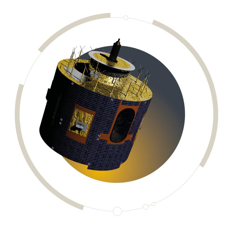
Meteosat Second Generation
Geostationary satellites providing imagery for the early detection of fast-developing severe weather, weather forecasting and climate monitoring.
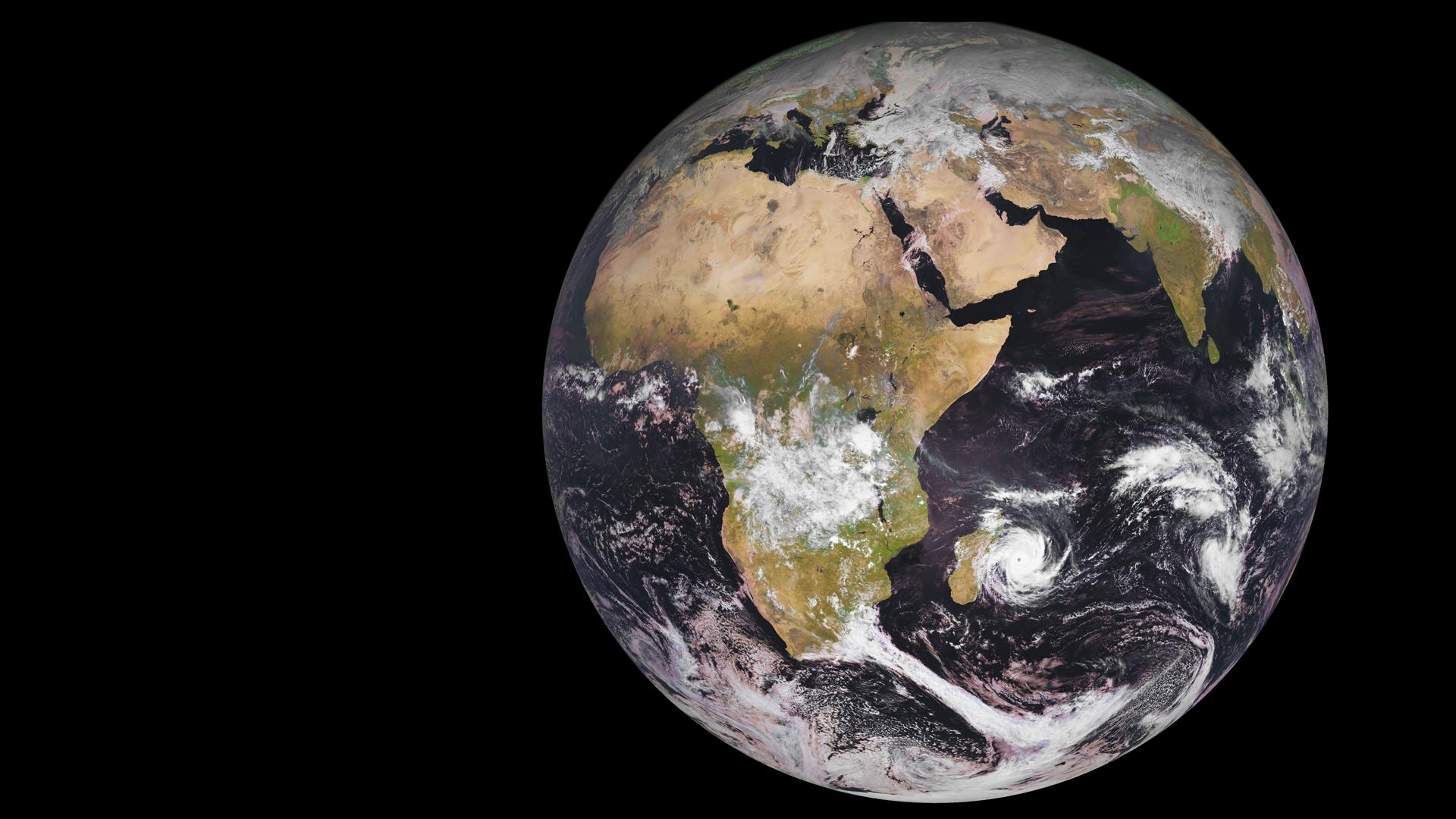
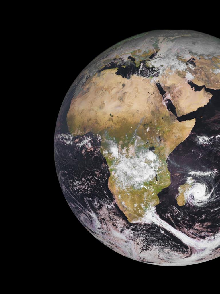
The life-saving power of satellite images
“The IODC service is critical for us,” said Philippe Caroff, department head at the Météo-France Tropical Cyclone Centre, RSMC La Réunion. “We cannot live without it.
“With Meteosat satellites, we can monitor and follow the location of a storm, infer its motion, assess variation in its intensity and size, and identify structural changes. This can only be done through imagery coming from satellites and is best done from geostationary satellites, in particular, because they give you the most frequent imagery.”
Because geostationary satellites orbit in sync with the rotating Earth, they are able to provide more continuous coverage of the particular location on Earth they remain above as compared to polar-orbiting satellites, which loop the Earth. It is the difference between monitoring a burglary from a camera pointed at your house versus from one mounted on a car circling your neighborhood.
“Prior the start of the IODC service in 1998, the only way we had to monitor tropical cyclones in the south-west Indian Ocean was through polar-orbiting satellites. But polar-orbiting satellites just pass over the same geographical area twice a day. So even when two of these satellites were available at the same time, the maximum number of images of a tropical storm we could get per day was four.

“And sometimes, with tropical storms forming in the middle of the Indian Ocean – at the eastern edge of our area of responsibility – the polar-orbiting satellites were too far away from Réunion for us to get the signal. This meant that we partially or completely missed the orbit, leaving us without any images at all for as long as twenty-four hours. This left us virtually blind.
“Compare that to now: with geostationary satellites, we receive four images every hour. In this way, 1998 was a revolution for us. Geostationary coverage enabled us to continuously monitor storms and provided the numerical models with a tremendous amount of satellite data that significantly improved the quality of our forecasts. By drastically lowering the uncertainty of our forecasts, the IODC service helps us to inform people about catastrophic storms sooner and with greater accuracy.”
At first, tropical cyclones are invisible. In order to detect the very beginnings of these storms, which form over warm tropical waters and are characterised by winds that circulate around an area of low pressure, meteorologists such as Caroff rely on numerical weather prediction models.

Using observations about the current state of the atmosphere, oceans, and other features of the Earth, these models act as a sort of time machine, simulating the weather these conditions are likely to lead to in the future. By inputting these current data into supercomputers, which are programmed with mathematical equations depicting the physics of how moisture and temperature flow through the Earth system, meteorologists are able to identify the conditions that are conducive to the formation of a cyclone up to two weeks before a storm actually forms.
For Cyclone Batsirai, Caroff and his team first used numerical weather prediction models to identify that a cyclone was likely to develop. Then, they waited until the first signs became visible in satellite images. This came in the form of two typical cyclone features. The first were clusters of cumulonimbus clouds, massive thunderclouds that can stretch up to 17km high, nearly double the height of Mount Everest. Although these clouds indicate deep convection – the engine that drives the formation and development of a cyclone – not all cumulonimbus cloud clusters develop into cyclones.
So it was this information, paired with the second feature – the appearance of cloud curvature – that told the meteorologists trouble was coming. By animating images acquired over the course of several hours from the Spinning Enhanced Visible Infra-Red Imager (SEVIRI) aboard Meteosat-8, Caroff and his team could see the nascent storm starting to spin up. Then, by combining this evidence with wind estimates derived from another satellite instrument, the Advanced Scatterometer aboard the polar-orbiting Metop satellites, the team was able to categorise Batsirai on the Dvorak scale of intensity, a sort of Richter scale for cyclones.
When the storm, which started its life cycle far to the east of the inhabited lands of the south-west Indian Ocean, reached the 2.0 Dvorak scale threshold on 26 January, RSMC La Réunion issued their first advisory. The team of cyclone forecasters then continued issuing advisories every six hours as the storm fluctuated in intensity on its path toward Mauritius, Réunion, and Madagascar, warning the people there of the coming threat.
“We were very lucky in Mauritius and Réunion that we did not get hit by the inner core of the storm, where the strongest winds and rains are located. But that was not the case for Madagascar. South-east Madagascar was hit hardest by the storm, and for the city of Mananjary, it was really catastrophic – the worst cyclone impact in more than 25 years,” said Caroff.
“Storms like these are the reason we depend so heavily on the Indian Ocean Data Coverage service, and are so grateful it will continue with Meteosat-9,” he added.
The service, which Meteosat-9 will provide until 2025, will continue to enable Caroff and other meteorologists to monitor approaching cyclones and issue accurate forecasts that help mitigate the impact of these devastating storms.
Sarah Puschmann