26 November 2025
24 October 2025
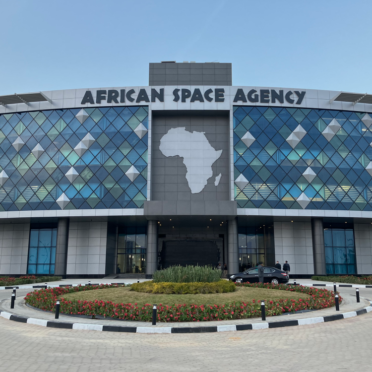
The Strengthening Early Warning in Africa (SEWA) project forms part of the Africa–EU Space Partnership Programme (AESPP). Its aim is to strengthen the use of space-based information and services to support sustainable development and resilience in Africa.
SEWA is implemented under the EU’s Global Gateway strategy and led by the European Commission’s Directorate-General for International Partnerships (DG INTPA). It is a major collaborative effort between EUMETSAT, the European Centre for Medium-Range Weather Forecasts (ECMWF), and the African Union Commission (AUC).
Launched in January 2025, SEWA will run for four and a half years and focuses on enhancing Africa’s capacity to produce and deliver space-based data, applications, and services for early warning systems related to hazardous weather and climate events.
EUMETSAT’s Role and Contributions
Within SEWA, EUMETSAT leads the delivery of Output 2.2 – the establishment and operationalisation of the African Meteorological Satellite Application Facility (AMSAF). It also contributes to Output 2.1 – improved access to and use of satellite data and Output 2.5 – strengthened human capacities, knowledge and community-shaping.
EUMETSAT’s focus is on two major technical tracks that together underpin Africa’s enhanced capability to use satellite data for early warning:
- AMSAF – developing Africa's first continental nowcasting hub.
- The Regional ATOVS Retransmission Services (RARS) upgrade – modernising and sustaining polar-orbiting data reception for regional and global forecasting systems.
These dual pillars are supported by complementary actions that expand data access, strengthen connectivity, and build technical autonomy across Africa through the cloud environment, PUMA‑2025 stations upgrade, and EUMETCast‑Terrestrial expansion.
Building Africa’s Nowcasting Capability
EUMETSAT leads the establishment and operationalisation of AMSAF, a regional network of four nowcasting centres (Western, Eastern, Southern, and Central Africa) that will generate nowcasts using Meteosat Third Generation (MTG) satellite data.
Each AMSAF centre will operate with local or cloud-based processing infrastructure and trained staff, producing early warning products tailored to local hazards.
EUMETSAT coordinates AMSAF’s technical delivery with African partners, ensuring alignment with AMHEWAS, AMCOMET, and the Early Warnings for All initiative, while promoting full African ownership through codesign, training, and transfer of knowledge.
Strengthening Polar Orbiting Satellite Data Flow
In parallel, EUMETSAT will sustain and upgrade Africa’s RARS network by modernising ground stations in Gabon, Kenya, Niger, and South Africa, to improve the collection, processing, and regional distribution of polar‑orbiting satellite observations.
Activities include technical inspections, calibration to ensure compatibility with the upcoming EPS-SG missions, and software updates to enhance data quality and timeliness.
These efforts aim to strengthen the continuity and value of polar orbiting satellite data available to African and international partners, complementing AMSAF’s focus on geostationary observations and contributing to a more integrated early-warning architecture across the continent.
Complementary Systems Enabling AMSAF and RARS
To ensure both tracks operate efficiently and sustainably, SEWA will deliver several enabling components:
- Cloud Environment: Providing computing capacity for AMSAF processing and a capacity-development pathway to strengthen digital skills for autonomous operation.
- PUMA‑2025 Upgrade: Enhancement of 56 existing PUMA satellite reception stations, software integration for MTG imagery and AMSAF products.
- EUMETCast Terrestrial Expansion: Extension of terrestrial data feeds to new African centres, improving access to higher-resolution MTG data streams.
Together, these components form a coherent architecture linking geostationary and polar satellite observations with modern data delivery and processing infrastructure. This will enable African meteorological institutions to generate and share early warning information more effectively.
Partnership and Capacity Building
EUMETSAT’s delivery approach emphasises capacity development and African ownership. Through joint working groups, training, and testbeds, African experts are engaged from design to implementation.
By coupling technical innovation with institutional empowerment, SEWA reinforces EUMETSAT’s long-standing partnership with the African Union Commission and regional meteorological networks, advancing the shared goal of achieving “Early Warnings for All” across Africa.
A new phase in Africa–EU space cooperation
SEWA builds on the legacy of previous EU-funded Earth Observation initiatives—PUMA, AMESD, MESA, GMES & Africa, and ClimSA, all of which established the foundation for Africa’s operational use of satellite data. With Meteosat Third Generation satellites now in orbit, EUMETSAT and its partners are taking the next step: equipping Africa’s institutions with the tools, infrastructure, and expertise to transform advanced satellite data into actionable early warning information.
The Strengthening Early Warning in Africa (SEWA) project runs from January 2025 to June 2029 and is funded by the European Union under the Global Gateway Programme. Its implementation is jointly led by EUMETSAT, ECMWF, and the AUC, with close collaboration from African regional climate centres and national meteorological and hydrological services.