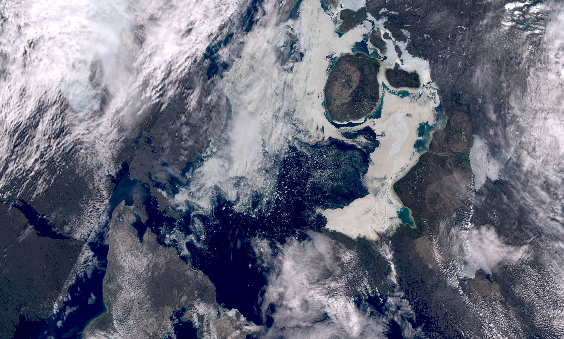
Foxe Basin is located north of Hudson Bay between the Melville Peninsula and Baffin Island and is in the Canadian territory of Nunavut. At its widest point, the basin measures about 400 kilometers (250 miles). Visible in the image is the round, uninhabited Prince Charles Island, which was only officially mapped in 1948.
Sea ice dominates the area of Foxe Basin for much of the year, with most of the Basin characterized by sea ice that is 1 yr old or less (first year ice). The sea ice forms (freeze-up) in the basin in late October/early November forming a complete sea-ice platform that lasts until the ice breaks up in July.
The ice in Foxe Basin is known for its roughness and muddy appearance, due to the freezing of muddy water, large tidal ranges, and winds which keep a large amount of bottom deposits suspended in the water column.
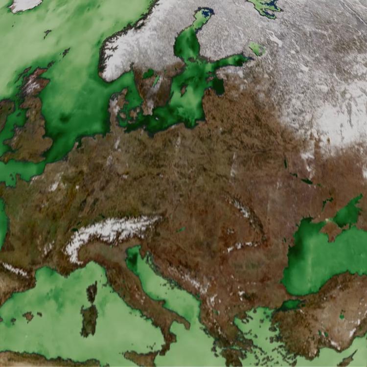
The Arctic region as a whole is undergoing rapid climatic and environmental change, most notably in the spatial extent and thickness of the sea ice.
According to the latest European State of the Climate report, 2024 was the third warmest year on record for the Arctic as a whole and the fourth warmest for Arctic land. The Arctic has been warming at a rate far above the global average since the 1990s, causing significant reductions in snow and ice coverage.
EUMETSAT’s Ocean and Sea Ice Satellite Application Facility (OSI SAF) monitors Arctic sea ice and provides daily sea ice products and a sea ice index. The index covers both the sea ice extent and area over the last 40 years, and it is continuously updated.