
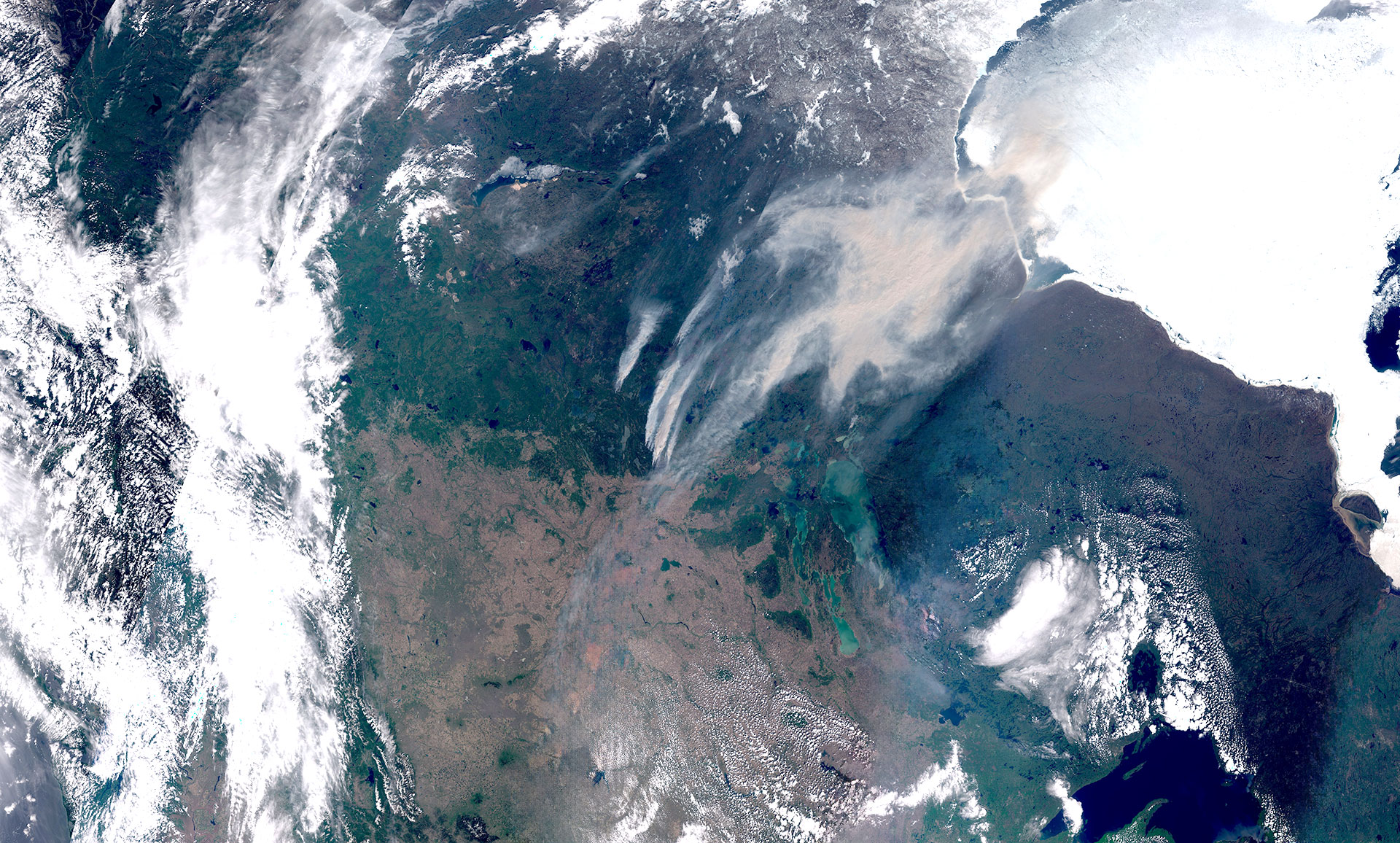
Image of the week: Canadian wildfires
Watching our Earth from space
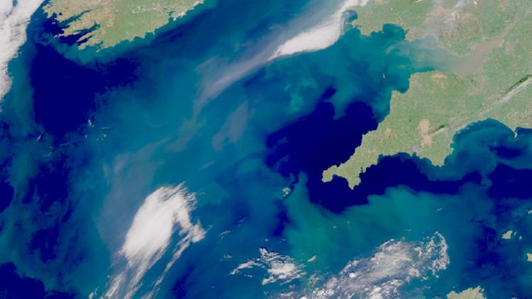

This week’s image is of smoke plumes from severe wildfires affecting the area near Torch River, in the province of Saskatchewan, Canada. The image was captured by one of the Copernicus Sentinel-3 satellites.
The wildfires are estimated to have burned over 2000 square kilometres and caused evacuations of many residents in the vicinity of the fires.
The Saskatchewan Public Safety Agency has also put out air quality warnings due to the smoke, which can also be seen on the aerosol forecast charts produced by the Copernicus Atmosphere Monitoring Service (CAMS).
Atmospheric aerosols are small particles or liquid droplets that are suspended in the atmosphere. They can originate from desert dust, volcanic eruptions and wildfires. They are also produced by human activity. The Aerosol Optical Depth (AOD) is a measure of the total amount of aerosol in a vertical column of the atmosphere.

Wildfire image
The main image was captured by the OLCI instrument onboard one of the Copernicus Sentinel-3 satellites on 26 May 2025.
EUMETSAT operates the Sentinel-3 satellites, in cooperation with ESA, and delivers the marine and atmospheric data on behalf of the European Union.
More info
Latest updates on current wildfire activity in Canada
Article from the Copernicus Atmosphere Monitoring Service about the 2024 wildfire season
Visualise Sentinel-3 data with EUMETView or WEkEO
Aerosol optical depth with Sentinel-3
Access atmospheric data from EUMETSAT User Portal