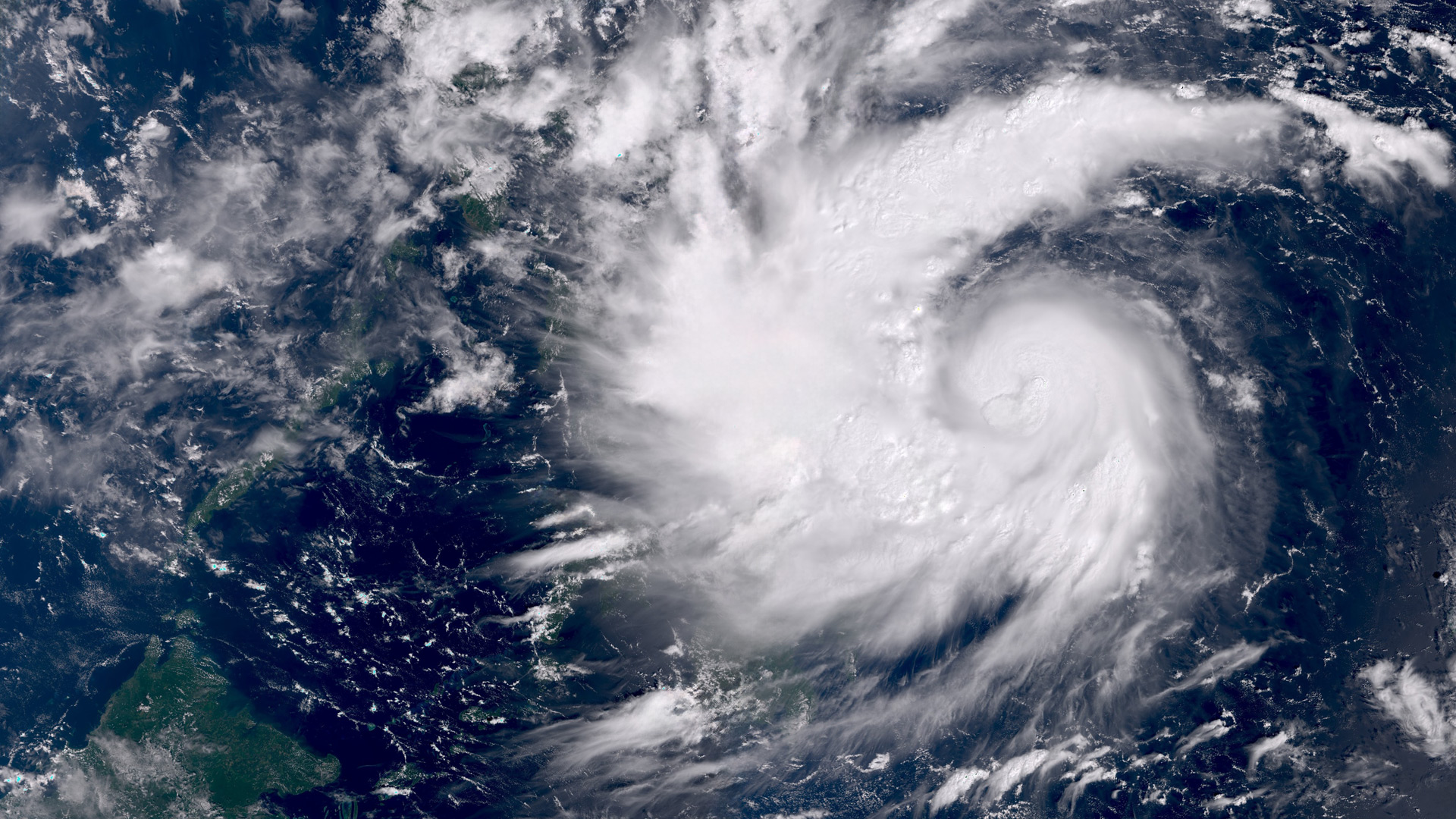
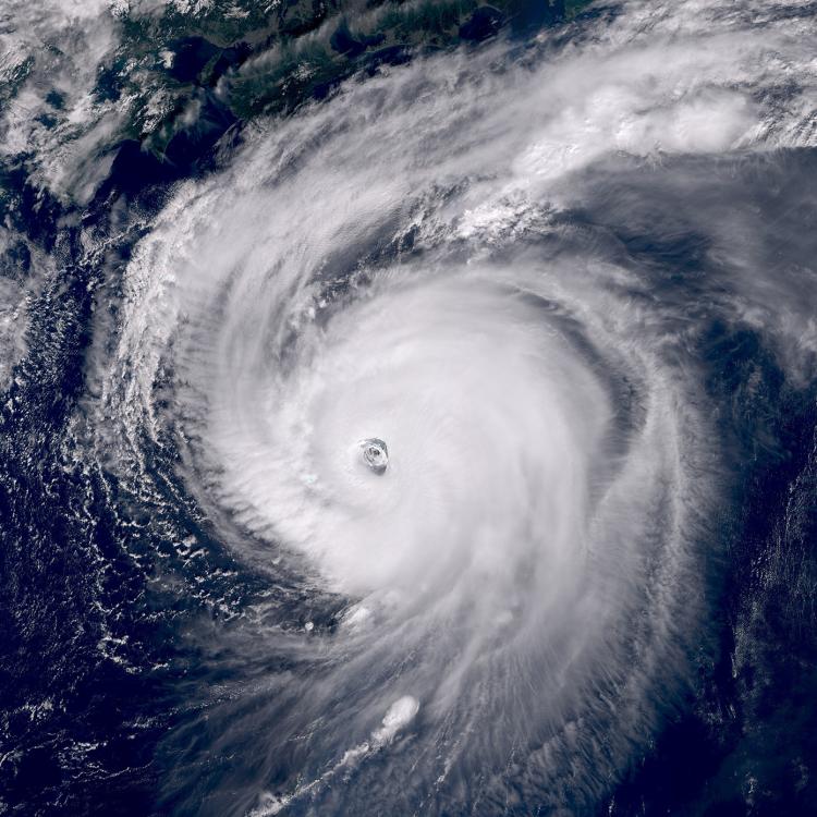
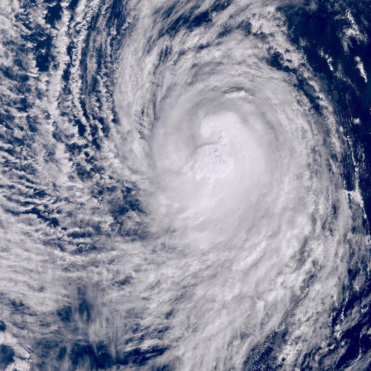
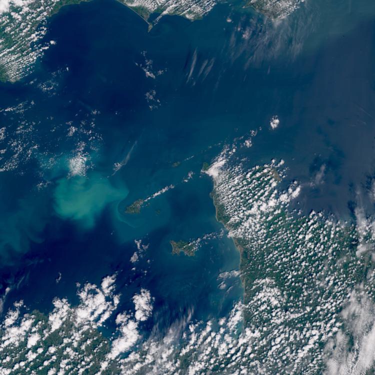
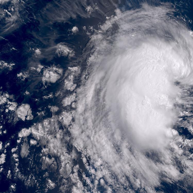
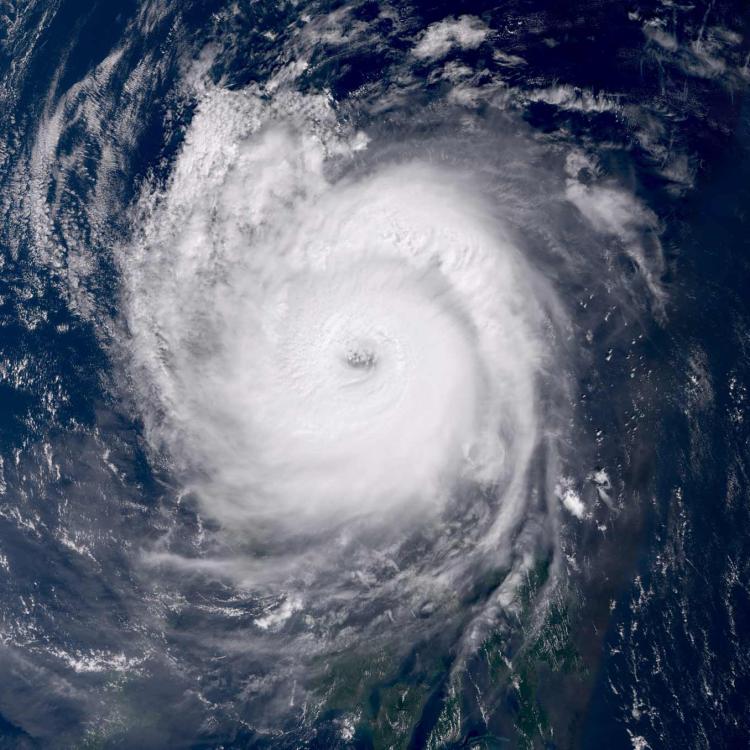
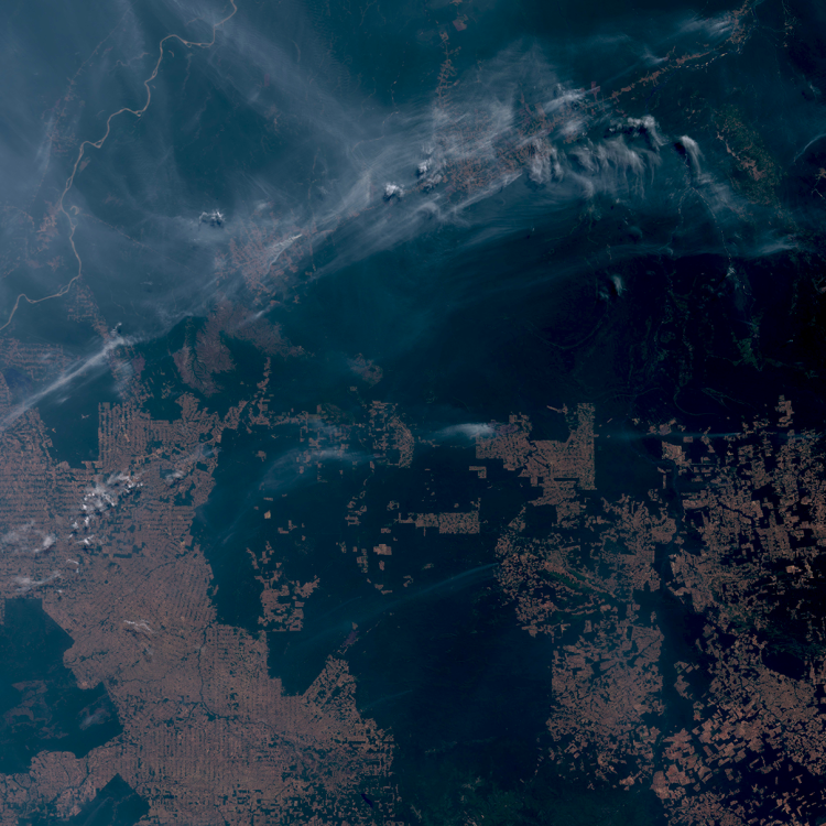
Image of the week: Typhoon Kalmaegi
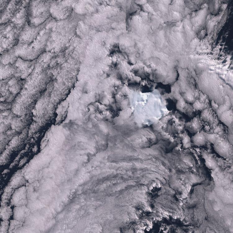
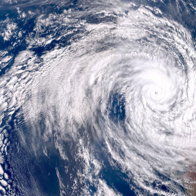
Watching our Earth from space
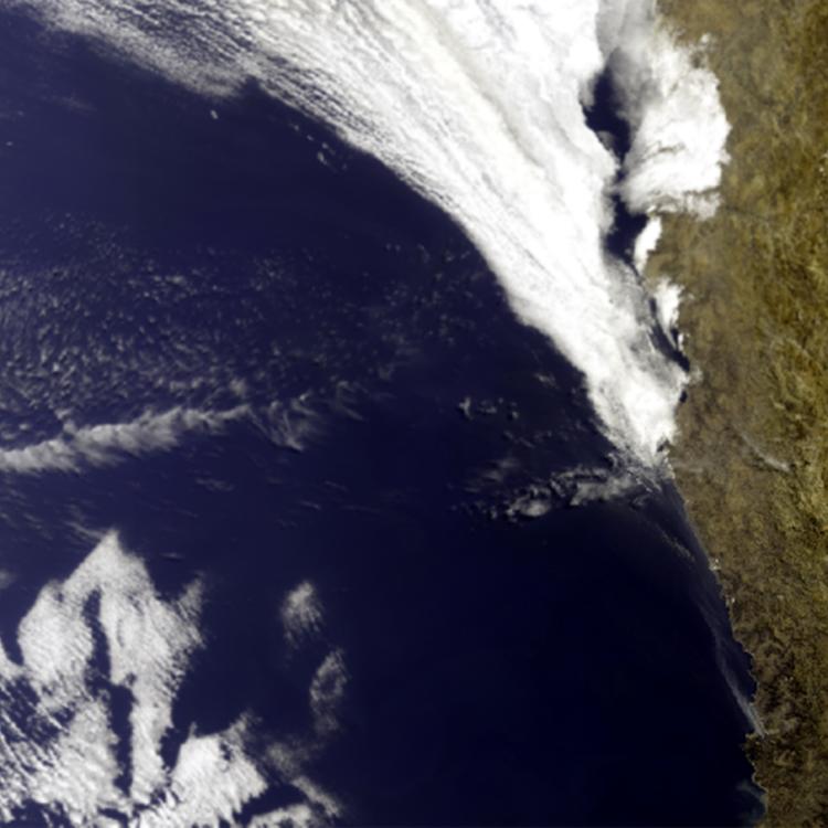
                          
                          This week’s image is of Typhoon Kalmaegi (or Tino). The image was captured on 3 November by one of the Copernicus Sentinel-3 satellites.
Typhoon Kalmaegi is in the Pacific Ocean, located east of the Philippines (03/11/25), and currently has maximum sustained wind speeds of 90 knots (166kmh).
The typhoon is moving west at 14 knots (26kmh) and is forecast to pass over the Philippines bringing extreme winds, heavy rainfall and the risk of storm surges and flooding.
Thousands of people in coastal areas in the path of the typhoon have already been evacuated due to the risk of dangerous storm surges.
            Typhoon Image
The main image was captured by the OLCI instrument onboard one of the Copernicus Sentinel-3 satellites on 3 November 2025.
EUMETSAT operates the Sentinel-3 satellites, in cooperation with ESA, and delivers the marine and atmospheric data on behalf of the European Union.
More info
Latest updates on Typhoon Kalmaegi
Visualise Sentinel-3 data with EUMETView or WEkEO
Operating Sentinel-3
Access weather data from the EUMETSAT User Portal