Image of the week: Storm Goretti approaches Ireland, UK and France
Watching our Earth from space


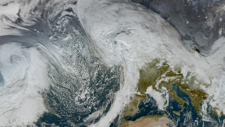
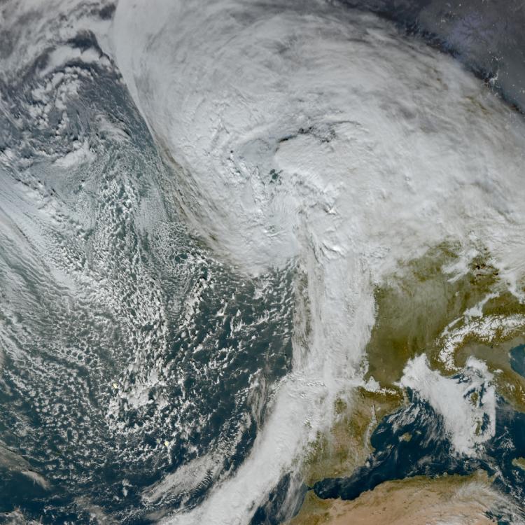
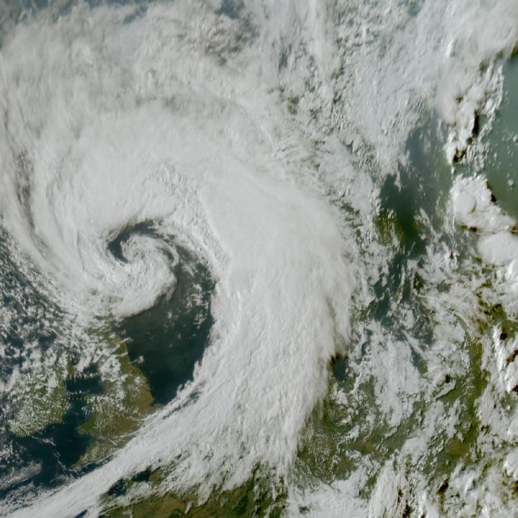
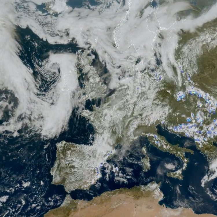
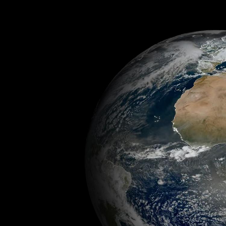
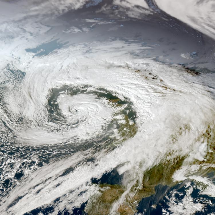
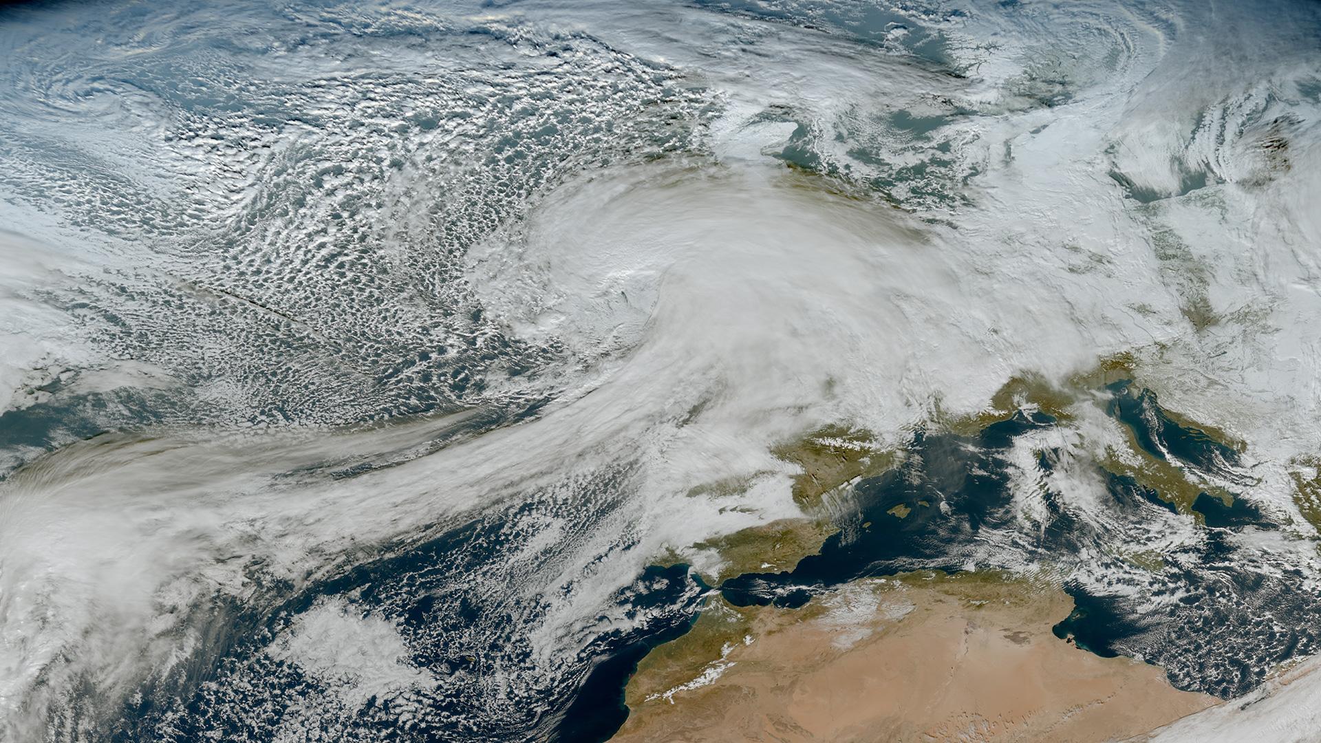
This week’s image is of Storm Goretti. The image was captured on 8 January by the Meteosat-12 geostationary weather satellite, 36,000km above the Earth.
Storm Goretti is a deep area of low pressure that is forecast to bring very strong winds and rain and snow to parts of Ireland, the UK and France (08/01/25). There are also warnings of flooding in coastal areas, in particular in northern France.
The storm was named by Météo-France - the French national weather service - and is the first named storm of 2026.
Follow the path of the storm on our EUMETview online satellite data viewer.

Storm image
The main image was captured by the FCI instrument onboard the Meteosat-12 geostationary weather satellite on 8 January 2025.
The Meteosat weather satellites provide imagery for the early detection of fast-developing severe weather, weather forecasting and climate monitoring.
More info
Follow the storm: Met Office, Met Eireann, Météo-France
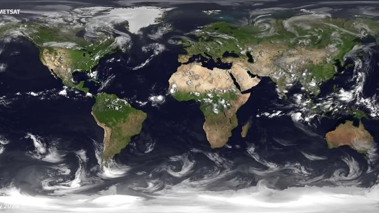
Meteosat weather satellites and Earth view livestream
Access weather data from the EUMETSAT User Portal


