Image of the week: Chios wildfires
Watching our Earth from space

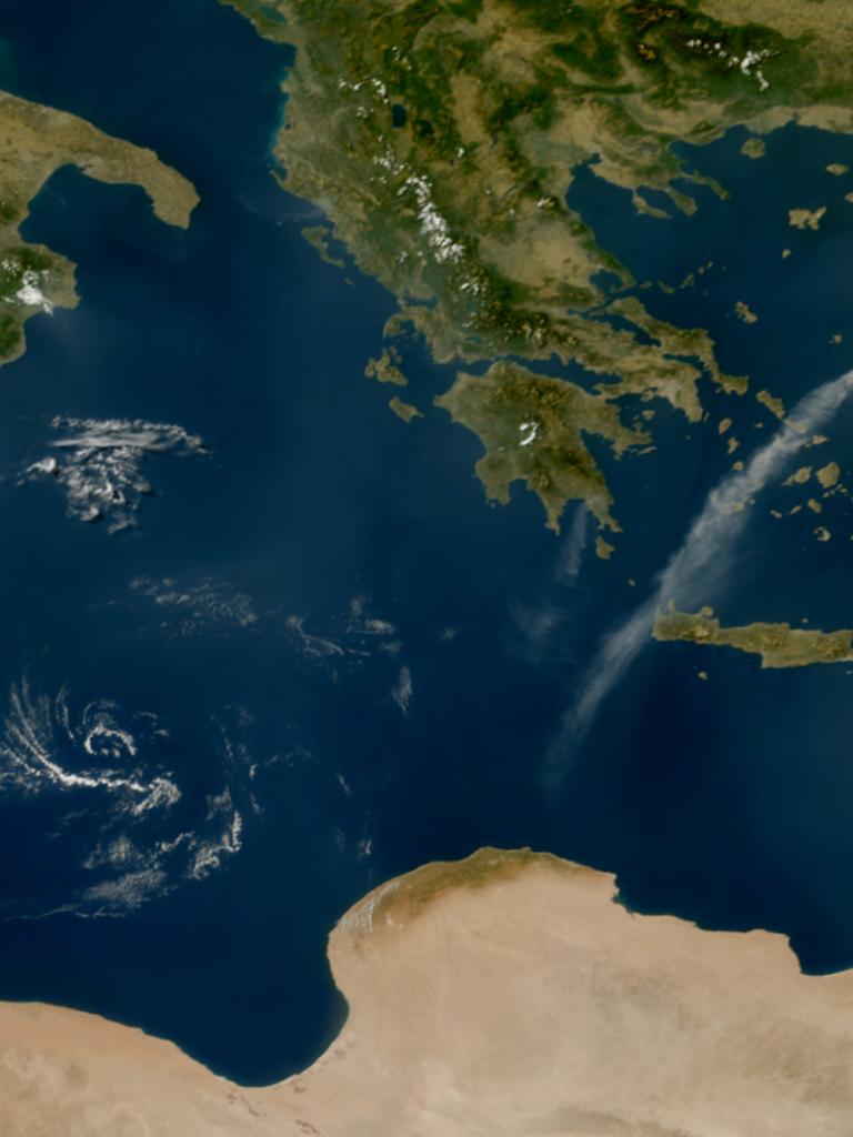
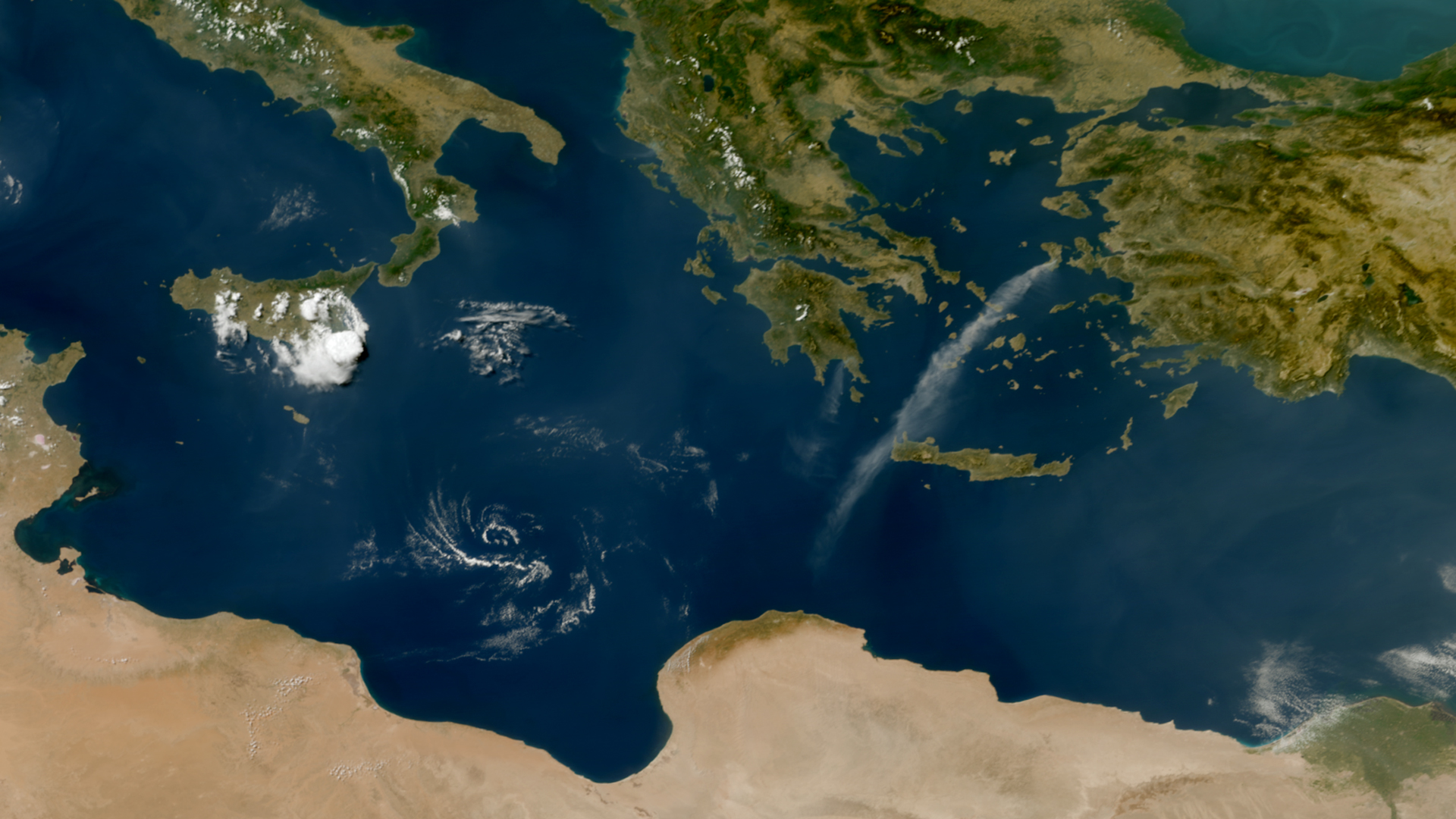
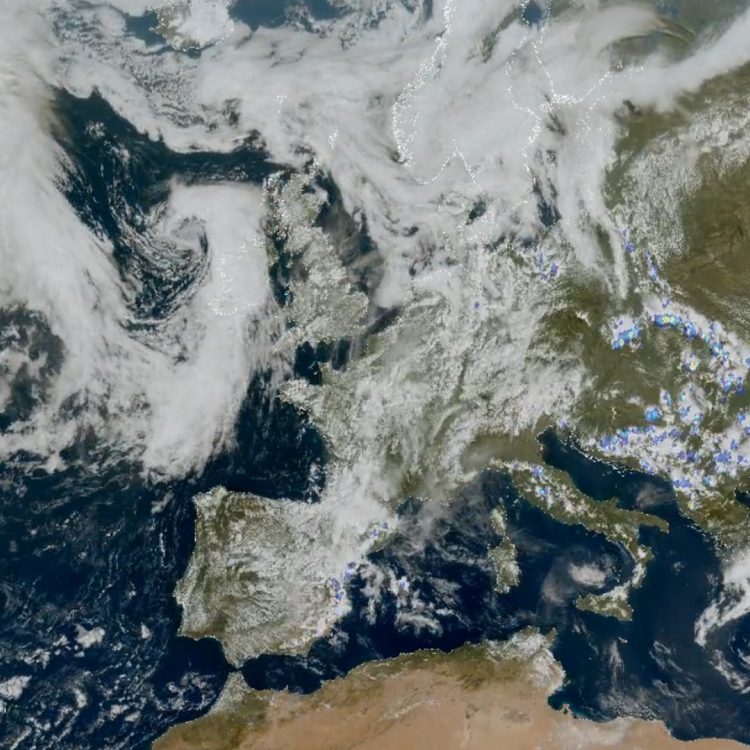
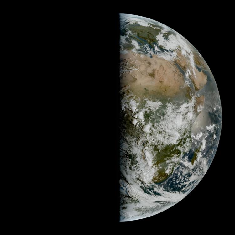
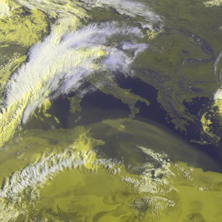
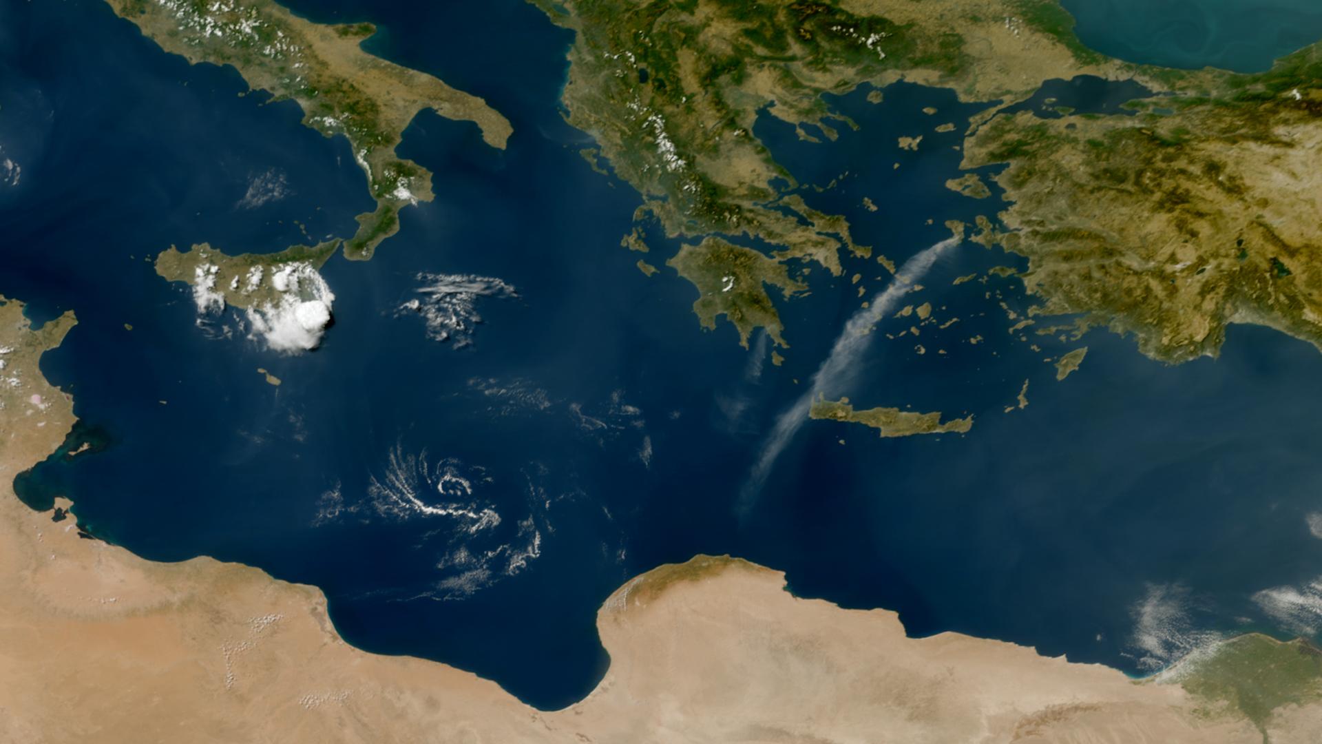
This week’s image is of smoke from wildfires affecting the Greek island of Chios in the eastern Aegean. The image was captured on 23 June by the Meteosat-12 weather satellite in geostationary orbit, 36,000km above the Earth.
The fires are estimated to have affected over 6,000 hectares and caused evacuations of many residents in the vicinity.
More than 400 firefighters, supported by aircraft and helicopters, fought to control the fires and a state of emergency was declared on the island.
The ongoing impact of the fires can be followed on the Copernicus Emergency Service website

Wildfire image
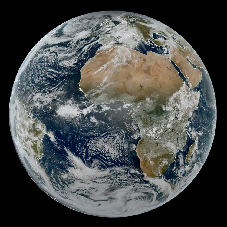
The main image was captured by the FCI instrument onboard the Meteosat-12 geostationary weather satellite on 23 June 2025.
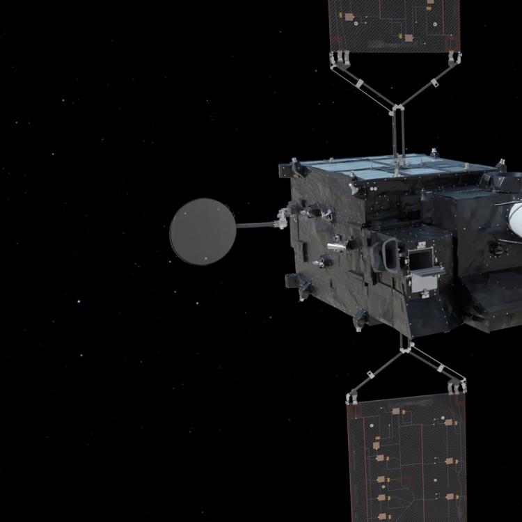
The Meteosat weather satellites provide imagery for the early detection of fast-developing severe weather, weather forecasting and climate monitoring.
More info
Latest updates on the Chios fires
Visualise Meteosat-12 data with EUMETView
Access atmospheric data from EUMETSAT User Portal
