Tropical storm Filipo made landfall on the coast of Mozambique on 12 March, bringing high winds, heavy rainfall and flooding.
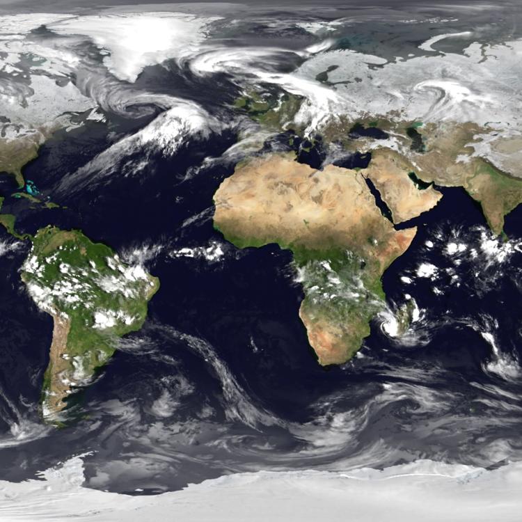
The Meteosat-9 satellite is situated over the Indian Ocean and provides imagery every 15 minutes in 12 spectral channels.
The satellite is crucial for monitoring severe weather events that impact the people on Indian Ocean islands and eastern Africa. It is also important for improved weather forecasting in Central and Eastern Europe and Central Asia.
See the current view from Meteosat-9 on our Earth view stream over the Indian Ocean.
In addition to providing weather imagery, the satellite supports search and rescue efforts and relays information for tsunami warnings.