
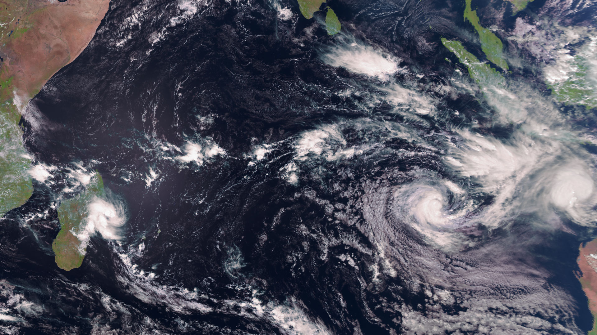
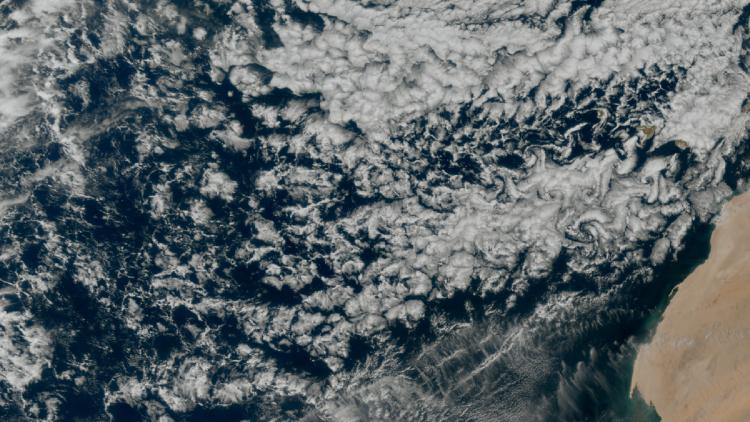
Image of the week: A trio of storms
Watching our Earth from space


This week’s image of the week is of three tropical cyclones in the Indian Ocean, as seen from the vantage point of the Meteosat-9 geostationary weather satellite, 36,000km above the Earth.
The three cyclones are named Faida, Vince and Taliah.
Meteosat-9 is situated over the Indian Ocean and provides imagery every 15 minutes in 12 spectral channels (https://www.eumetsat.int/msg-services).
The satellite is crucial for monitoring severe weather events that impact the people on Indian Ocean islands and eastern Africa. It is also important for improved weather forecasting in Central and Eastern Europe and Central Asia.
See the current view from Meteosat-9 on our Earth view stream over the Indian Ocean.
In addition to providing weather imagery, the satellite supports search and rescue efforts and relays information for tsunami warnings.

Storms image
This image was captured by the SEVIRI instrument onboard Meteosat-9 on Monday 3 February. Meteosat-9 is located at 45.5°E over the Indian Ocean.
More info
About Meteosat-9
The Meteosat-9 service over the Indian Ocean (IODC)
Follow ongoing cyclone development over the Indian Ocean