
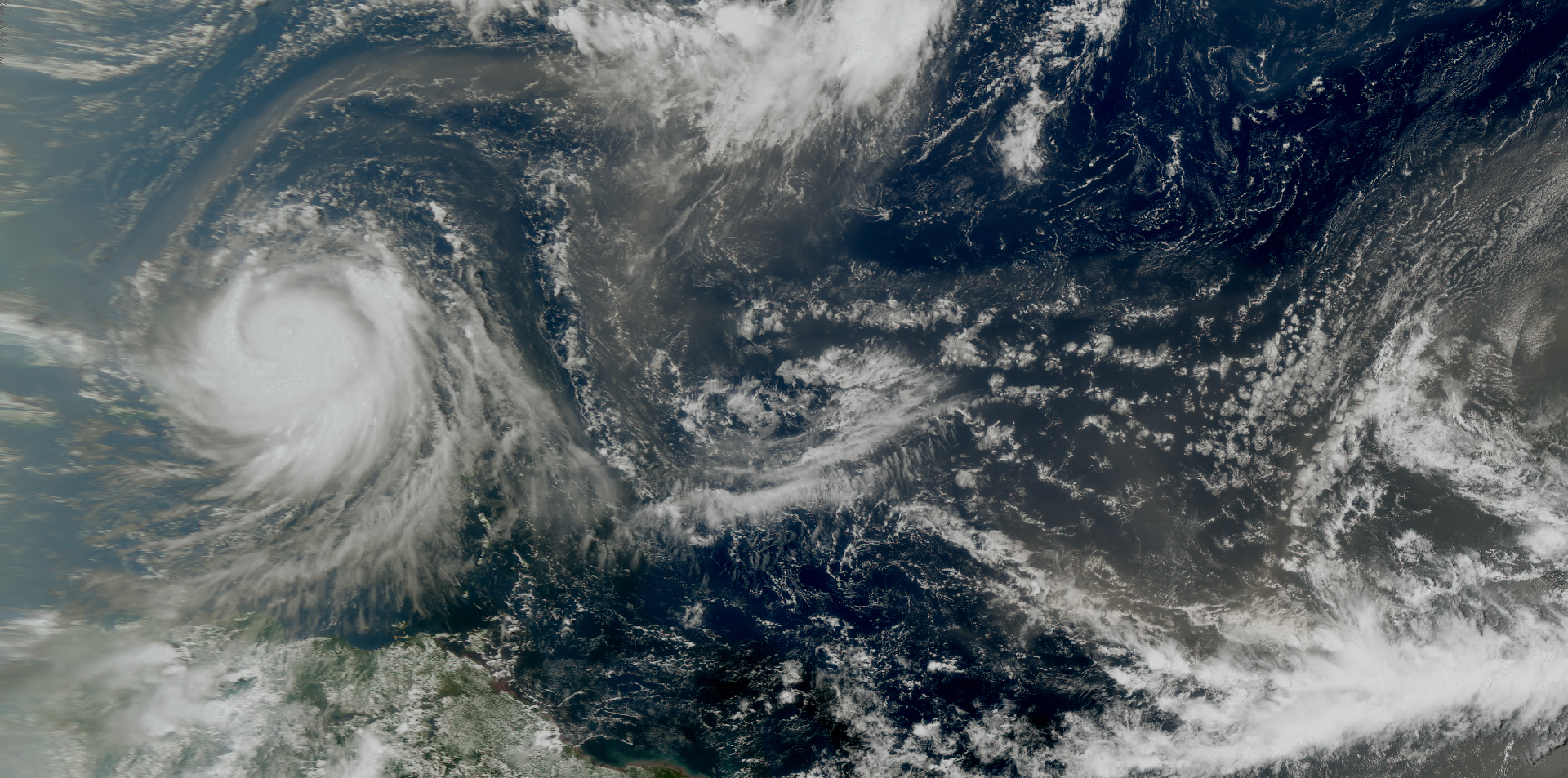
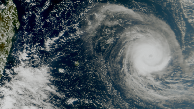
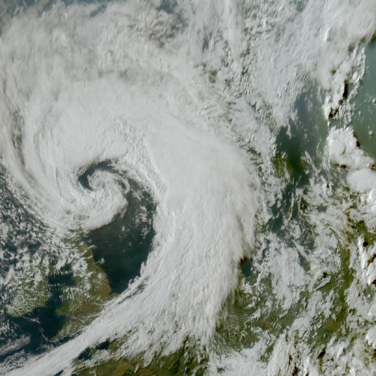
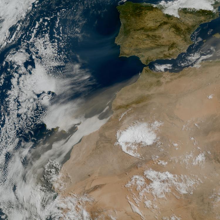
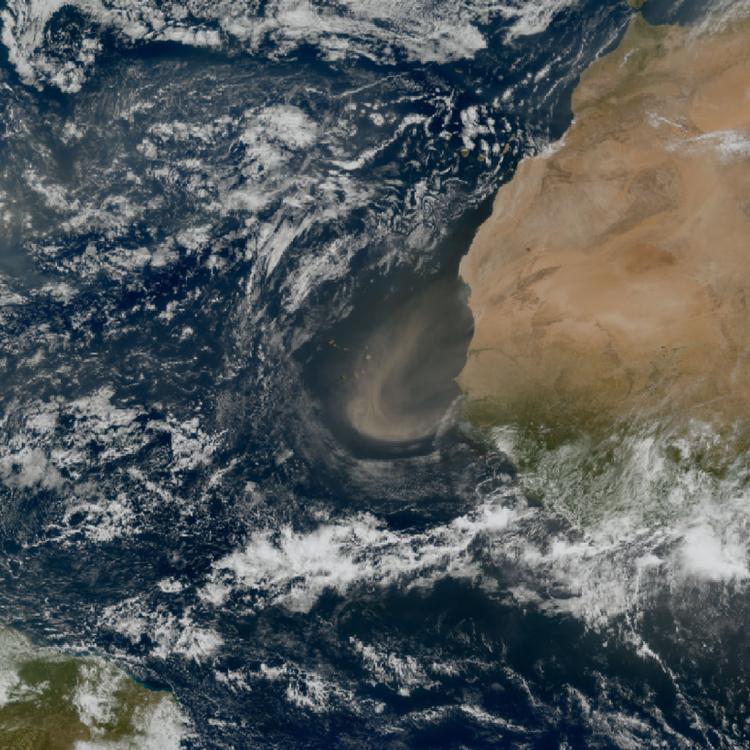
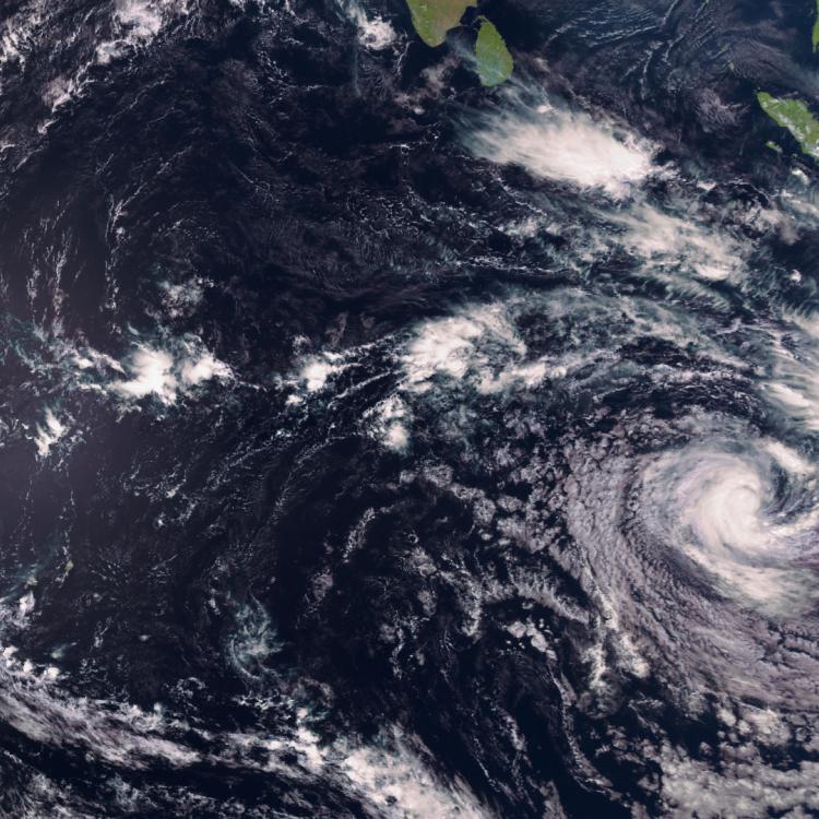
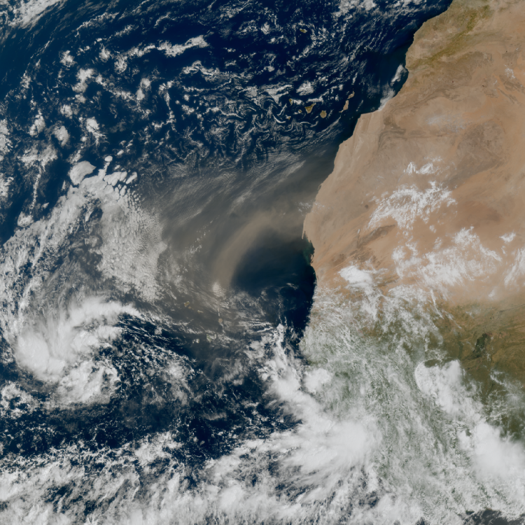
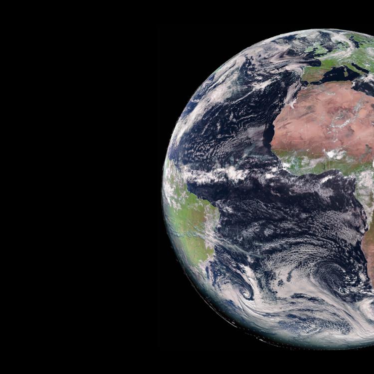
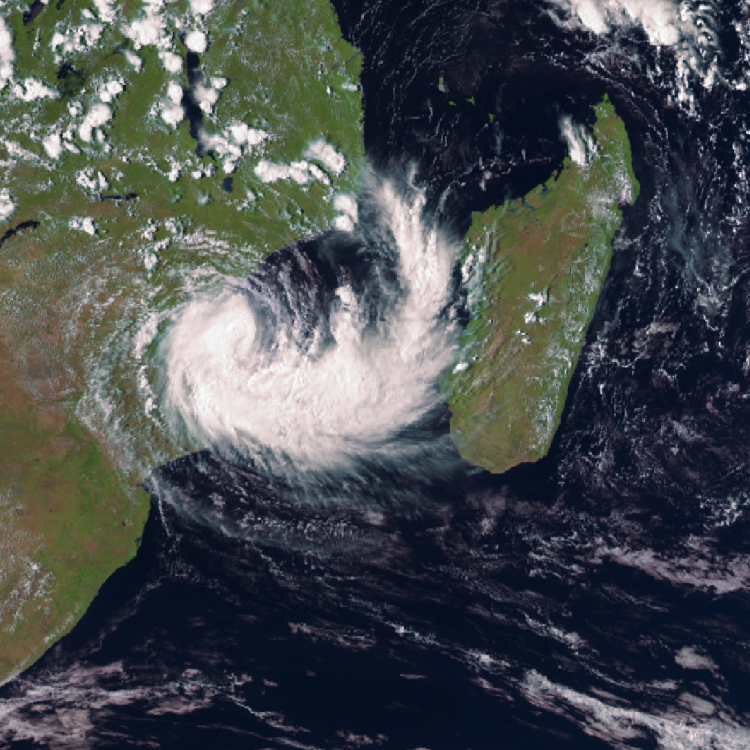
Image of the week: Hurricane Erin
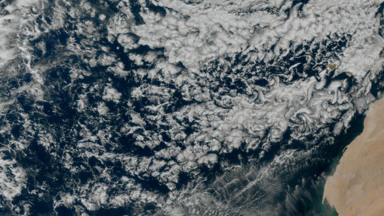
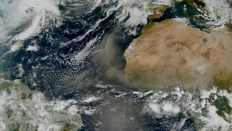
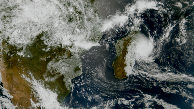
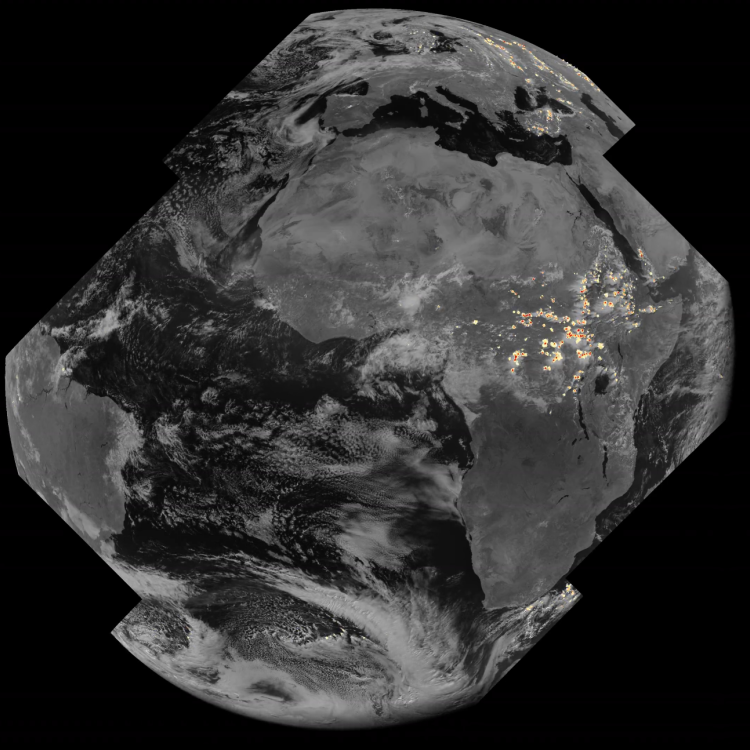
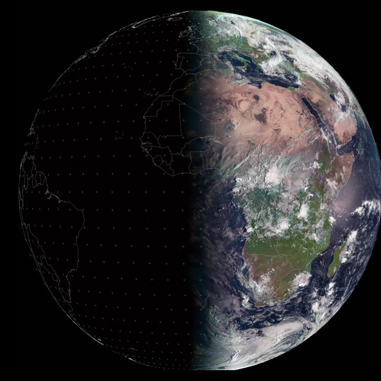
Watching our Earth from space
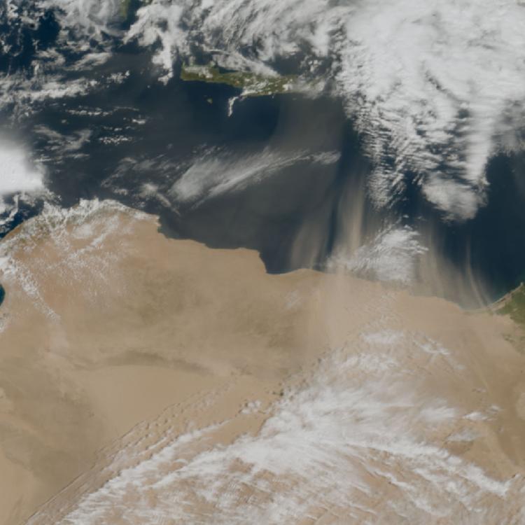

This week’s image of the week is of Hurricane Erin. The image was captured on 17 August by the Meteosat-12 satellite in geostationary orbit, 36000km above the Earth.
Hurricane Erin is a category 4 hurricane (18/08/25) with sustained winds near 130mph (210kmh) and is expected to bring tropical storm-strength winds and heavy rainfall to the Turks and Caicos Islands and the Bahamas.
According to the National Hurricane Center, Hurricane Erin is not forecast to make landfall over the mainland of US, although it is expected to produce life-threatening surf and rip currents along beaches of the Bahamas, and east coast of the US, Bermuda, and Canada during the next few days.
Hurricane Erin is the first hurricane of the 2025 Atlantic hurricane season.

Hurricane Image
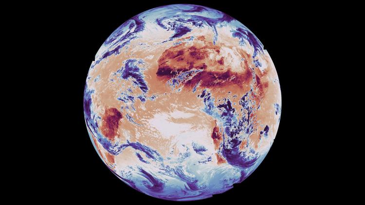
The main image was captured by the FCI instrument onboard the Meteosat-12 geostationary weather satellite on 17 August 2025.
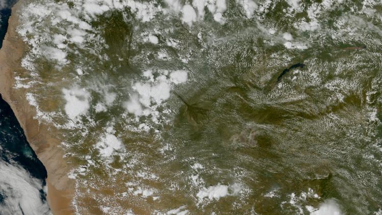
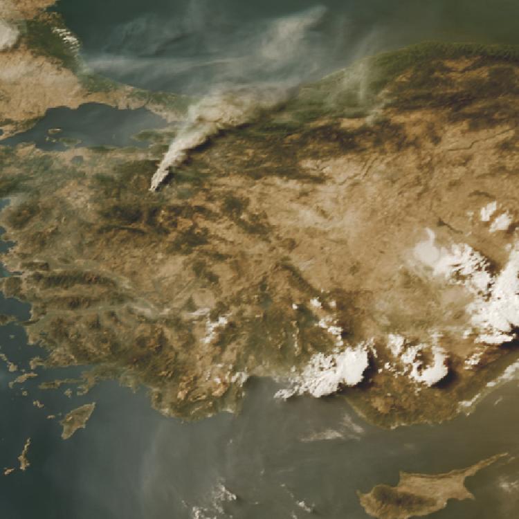
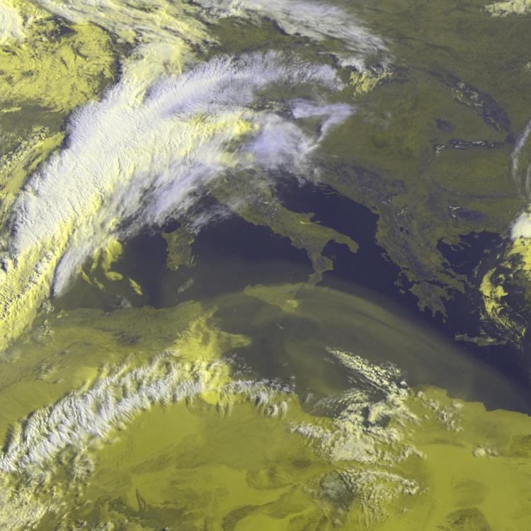
The Meteosat weather satellites provide imagery for the early detection of fast-developing severe weather, weather forecasting and climate monitoring.
More info
Follow Hurricane Erin’s progress - National Hurricane Center
Meteosat weather satellites and Earth view livestream
Access weather data from the EUMETSAT User Portal