24 April 2025
22 April 2020
WEkEO was launched at Baveno, Lake Maggiore, Italy, during celebrations for the 20th anniversary of the birth of the EU’s flagship environment monitoring programme, Copernicus, on 20-21 June 2018.
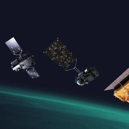
The WEkEO website was recently revamped in early 2025 and offers new ways to access and interact with Copernicus Data including all data from Sentinel satellites, contributing missions and the Copernicus marine, land, atmosphere and climate services.

The new website is designed to improve user experience and provide quick and easy access to it's extensive portfolio of services.
It features cloud–based hosted processing and tools allowing users to transform the data and services to meet their specific needs.
It also offers user support and training, capitalising on the recognized expertise of EUMETSAT, the ECMWF, Mercator Ocean International and the EEA.
WEkEO’s strength relies on its distributed infrastructure providing users with the most up-to-date Copernicus data and a continually expanding offer in the future.
