
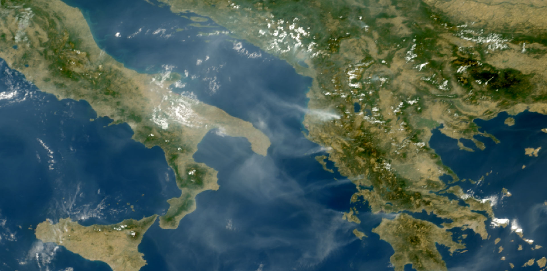
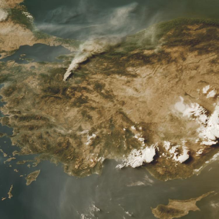
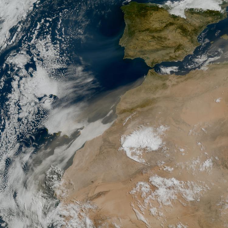
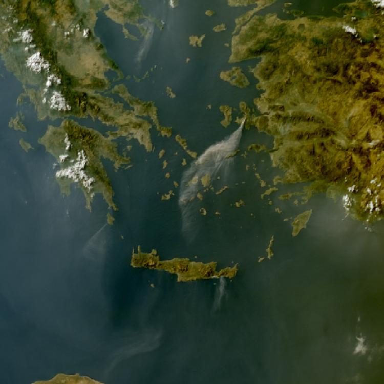
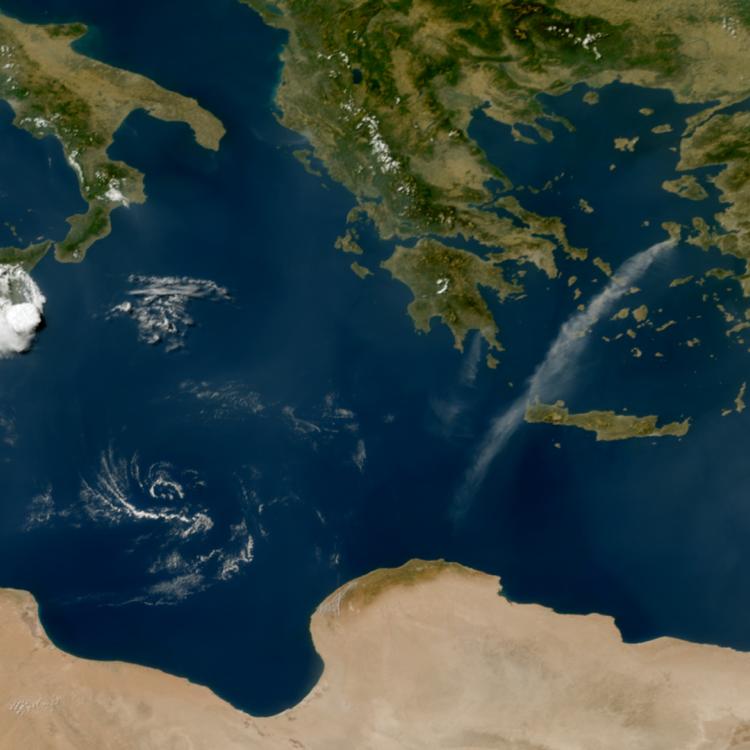
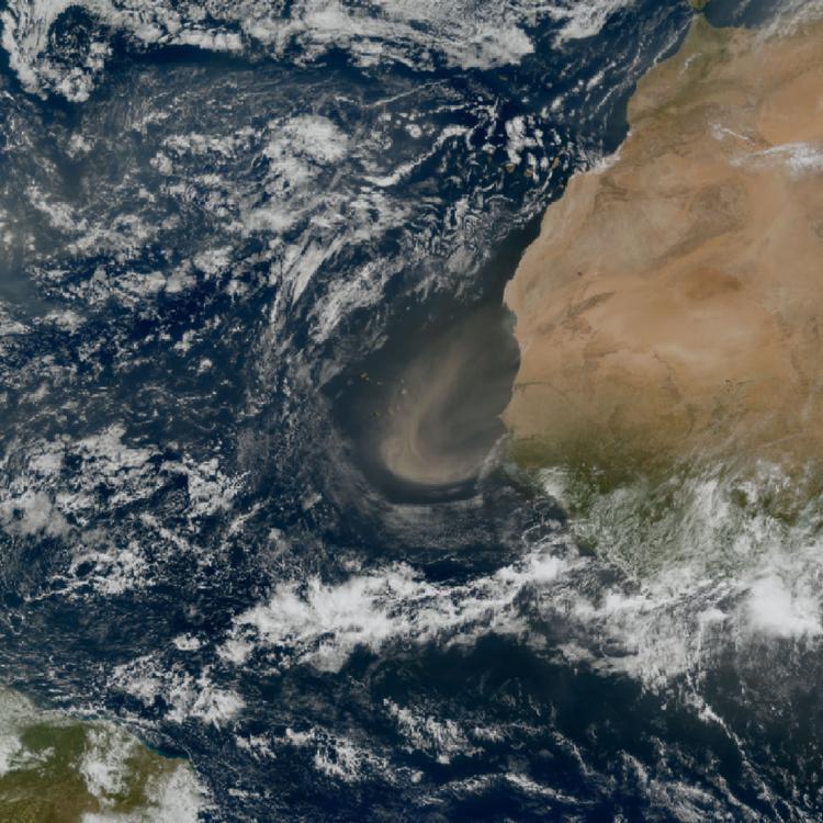
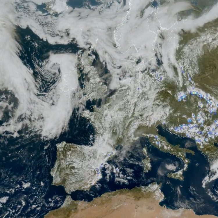
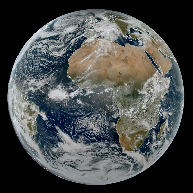
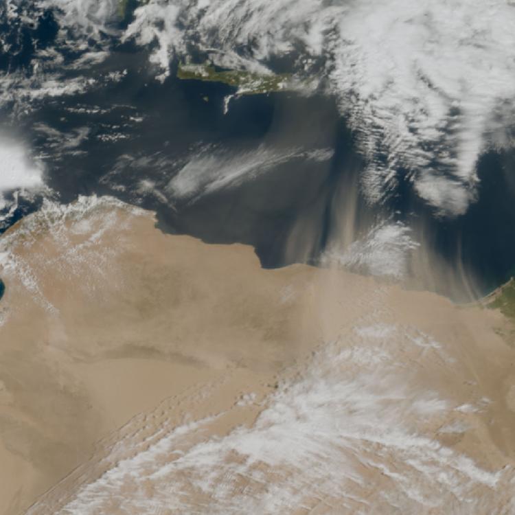
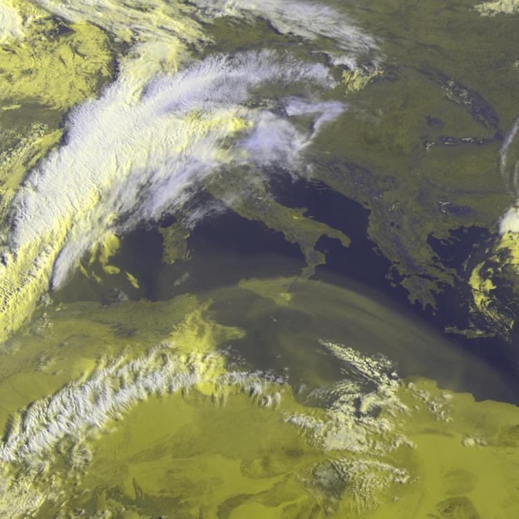
Image of the week: Smoke from wildfires in Albania and Greece
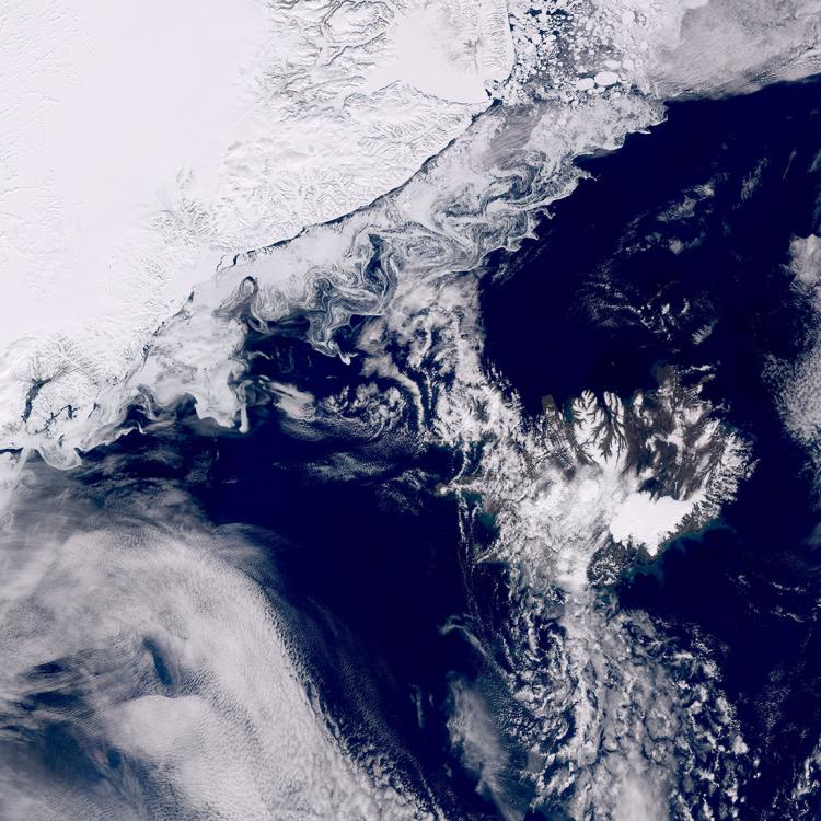
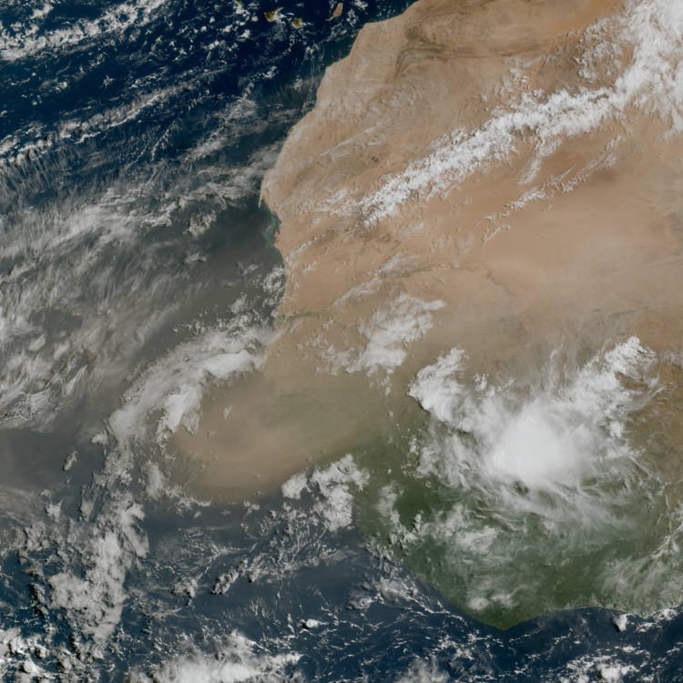
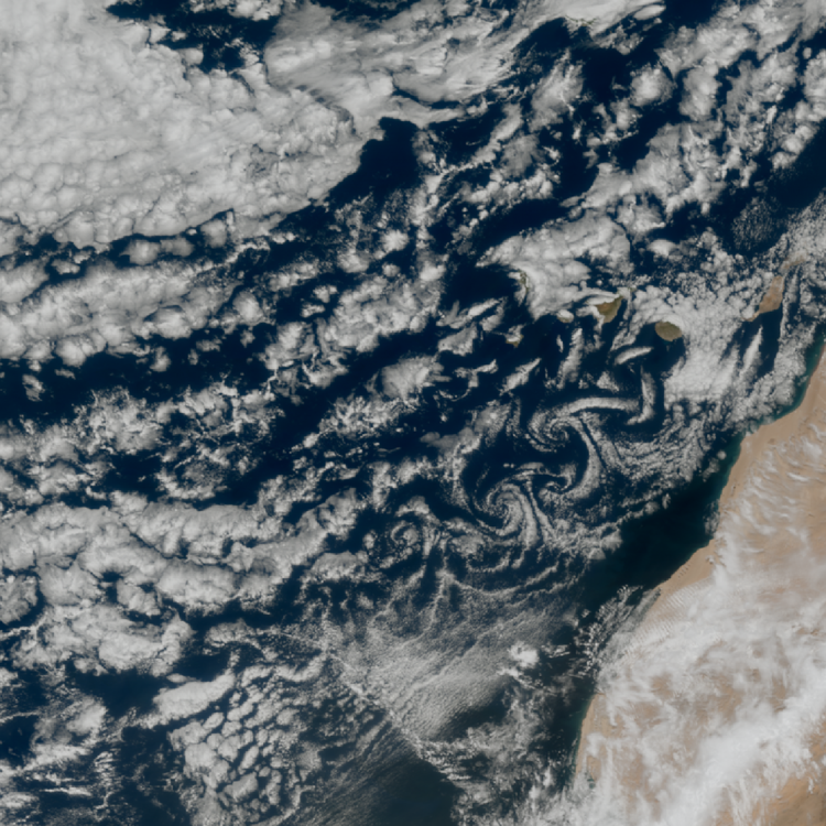
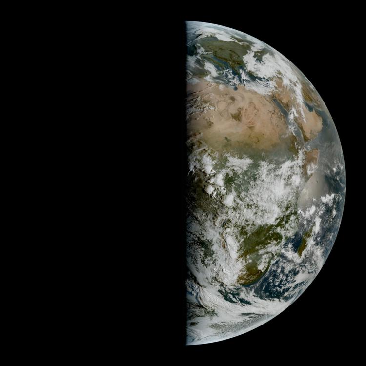
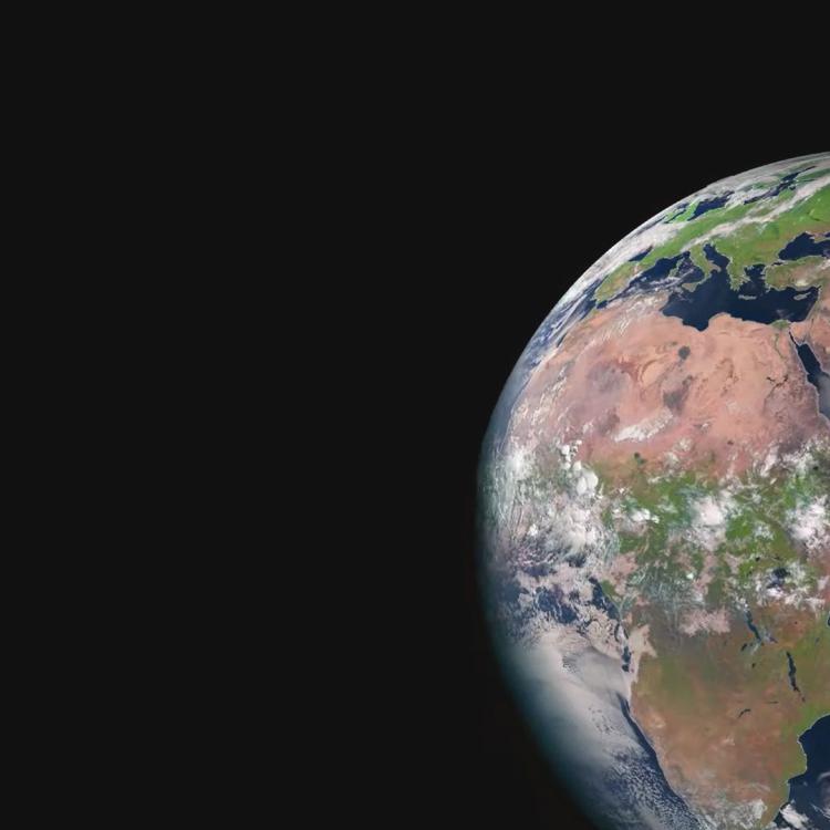
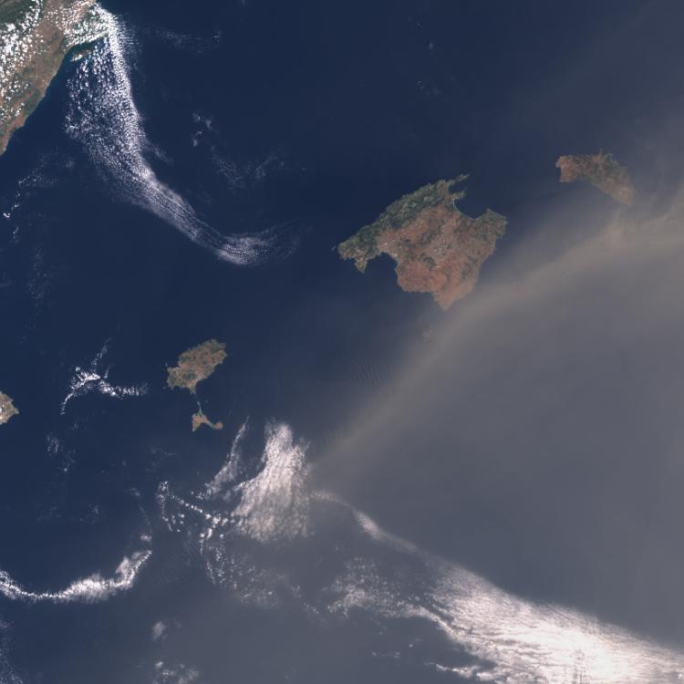
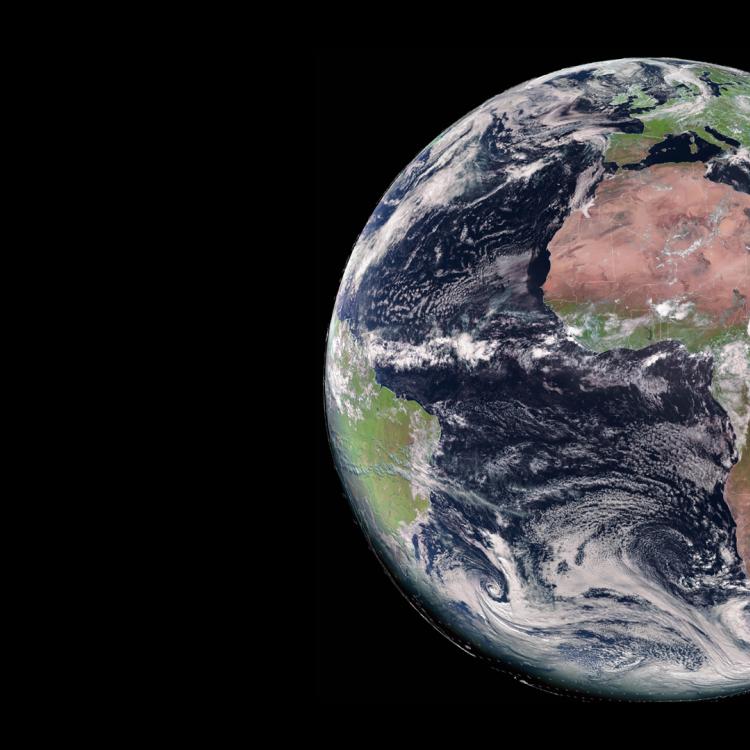
Watching our Earth from space
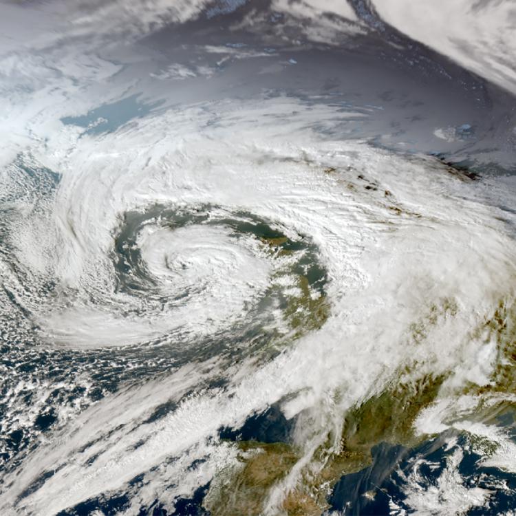

This week’s image is of smoke from large wildfires that have been affecting Albania and Greece. The image was captured on 13 August by the Meteosat-12 weather satellite in geostationary orbit, 36,000km above the Earth.
Smoke from large fires is visible in Albania where thousands of firefighters, soldiers, police officers and volunteers have been trying to contain many large wildfires, which have caused widespread damage and led to the evacuations of villages in affected areas.
In Greece, many wildfires are also raging, and firefighters have been battling around the clock to control fires in areas of Achaia (near Patras), Preveza and the islands of Chios and Zakynthos.
The spread of the wildfires in the region has been exacerbated by recent high temperatures, low humidity and high winds, which have made the fires harder to contain.
Across Europe the 2025 fire season has already been more destructive than usual. According to the European Forest Fires Information System (EFFIS), an area of over 439,500 hectares has been burnt by wildfires so far across the EU since the start of the year, which is double the reported average of 218,400 hectares recorded by this time of year over the past 19 years (2006-2024).

Wildfire image
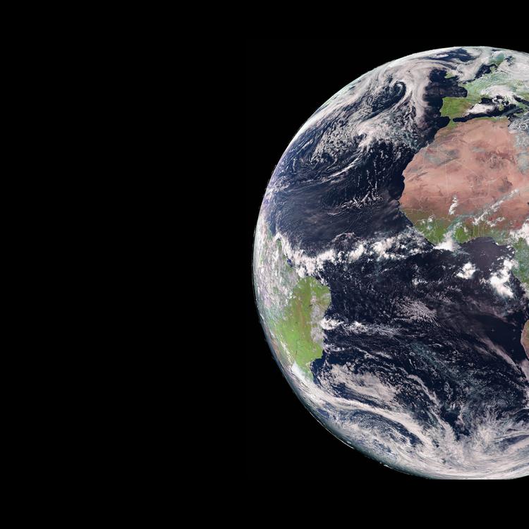
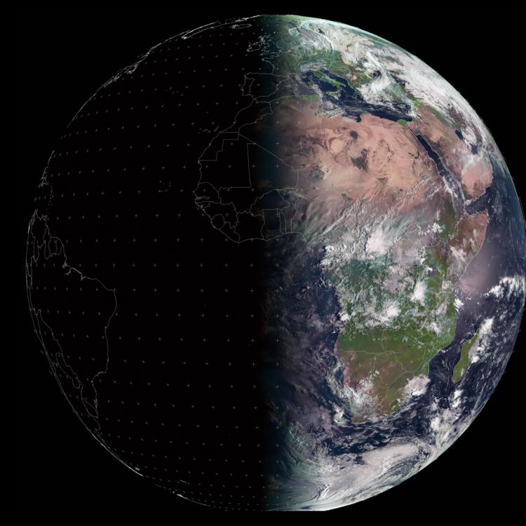
The main image was captured by the FCI instrument onboard the Meteosat-12 geostationary weather satellite on 13 August 2025.
The Meteosat weather satellites provide imagery for the early detection of fast-developing severe weather, weather forecasting and climate monitoring.
More info
Ongoing wildfires in the Mediterranean - BBC News
How satellite data is used to help manage wildfires
How data from EUMETSAT and Copernicus satellites is used to monitor the atmosphere
Follow the ongoing impact of wildfires in Europe
Access atmospheric data from EUMETSAT User Portal
Follow fires (smoke) live on EUMETview
Latest news on the increase in global surface air temperature