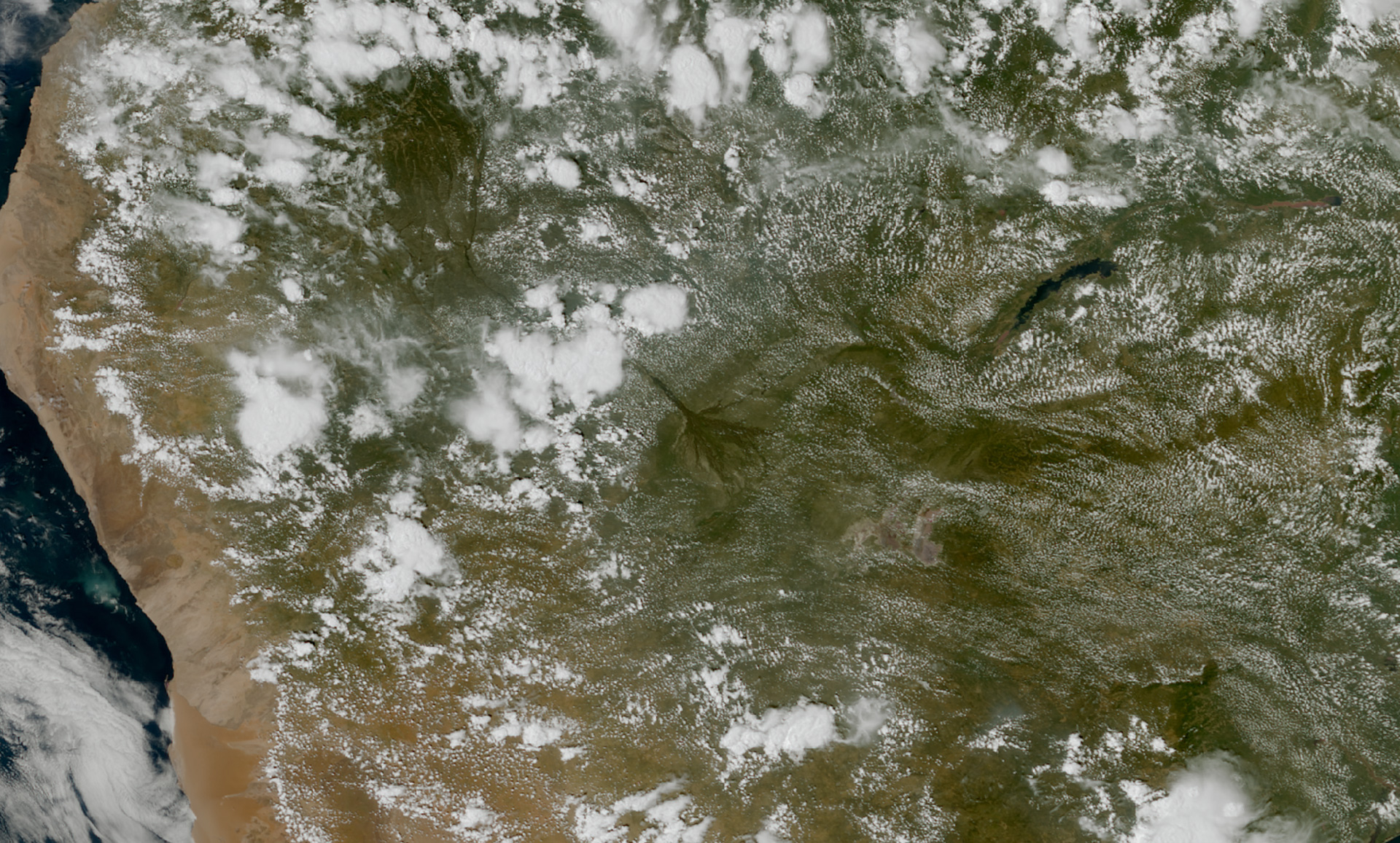
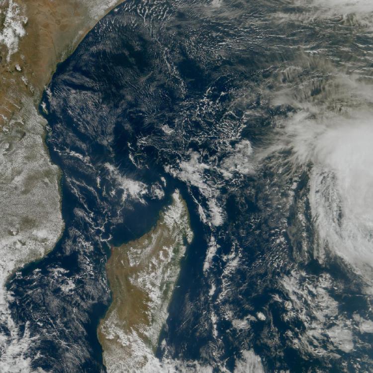
Image of the week: Okavango Delta
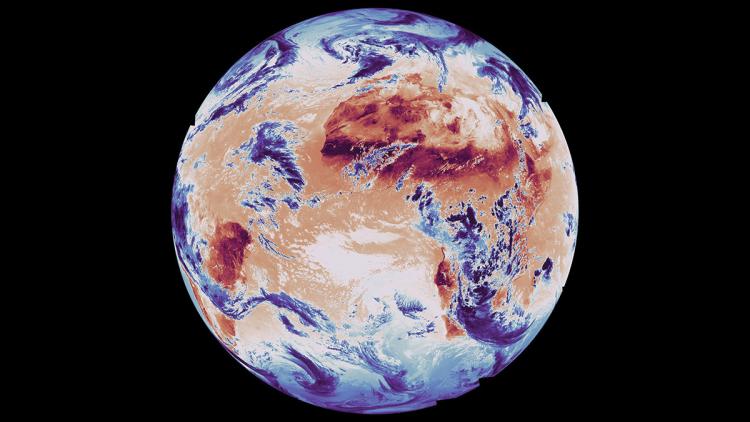
Watching our Earth from space
This week’s image of the week is of the Okavango Delta to help highlight World Wetlands Day, which takes place every year on 2 February. The image was captured on 31 January 2026 by the Meteosat 12 geostationary weather satellite, 36,000km above the Earth.
Located in northwest Botswana, Okavango is a vast inland delta spanning 22,000km2 of lush marshlands and seasonally flooded plains. It is one of the few major inland delta systems that do not flow into the sea or ocean and instead its waters evaporate, are absorbed by plants through transpiration, or seep into the sands of the Kalahari Desert.
The delta is a biodiversity hotspot and provides a home for some of the world’s most endangered species of large mammals, such as the cheetah, white rhinoceros, black rhinoceros, African wild dog and lion. It is also a refuge for more than 400 species of birds and 71 species of fish.
It is also an important wetland for community livelihoods, conservation and tourism in Botswana.
The global significance of the Okavango Delta as a wetland site was recognised by its designation as a Ramsar Wetland of International Importance in 1996 and in 2014 it was designated as the 1000th UNESCO World Heritage Site.
World Wetlands Day
A wetland is an area where the land is saturated or covered by water - either seasonally or permanently. World Wetlands Day marks the anniversary of the Convention on Wetlands, which was adopted as an international treaty in 1971.
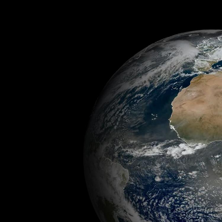
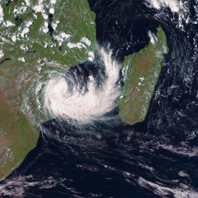
Okavango Delta image
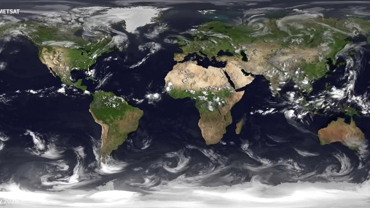
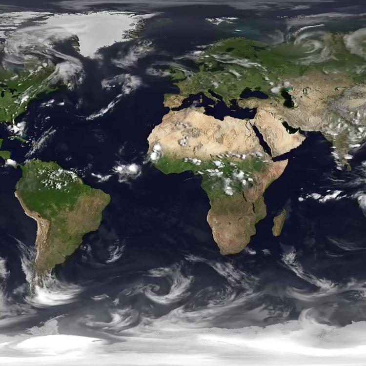
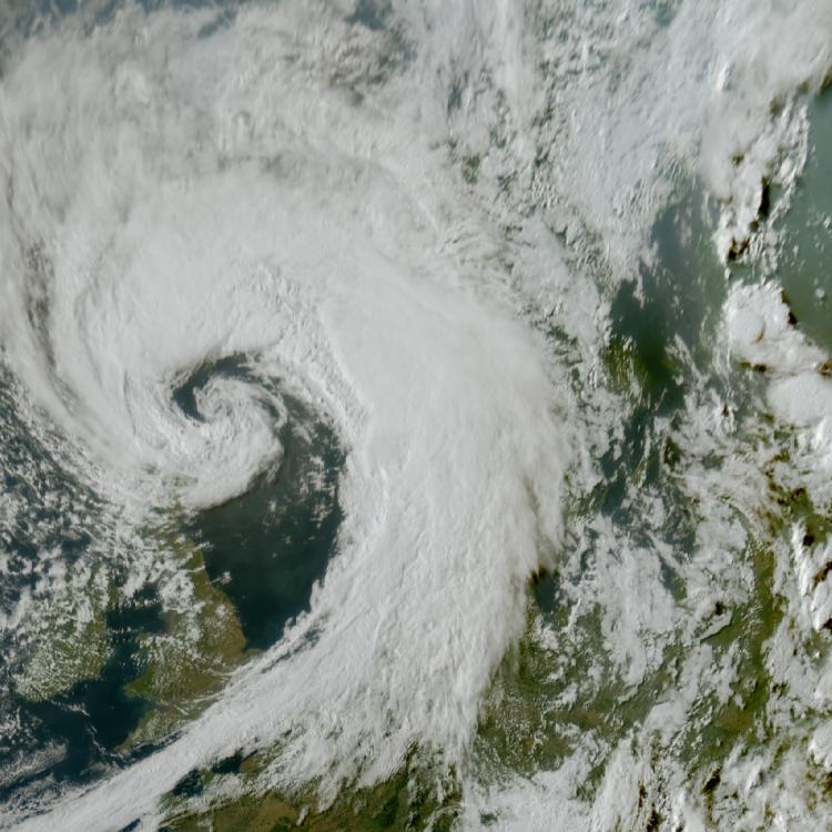
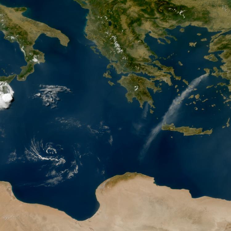
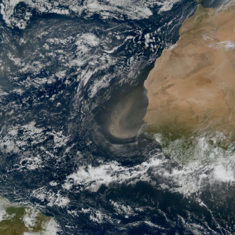
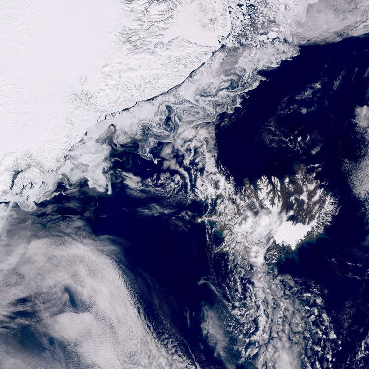
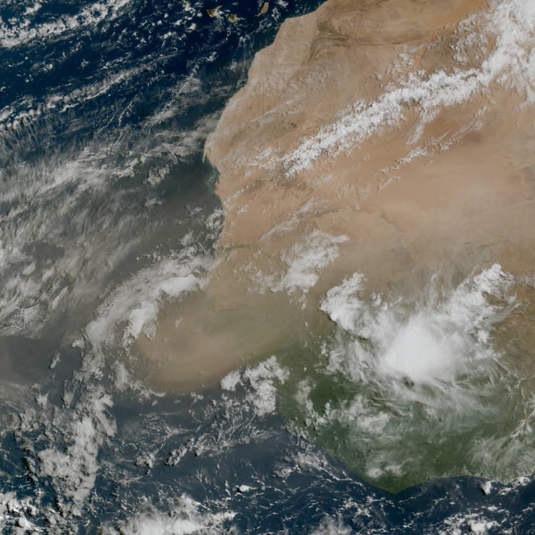
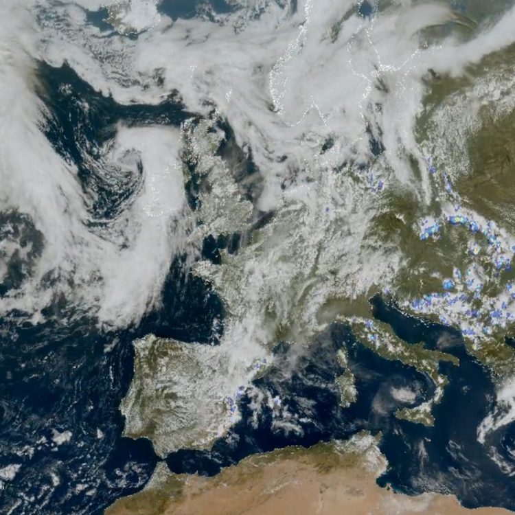
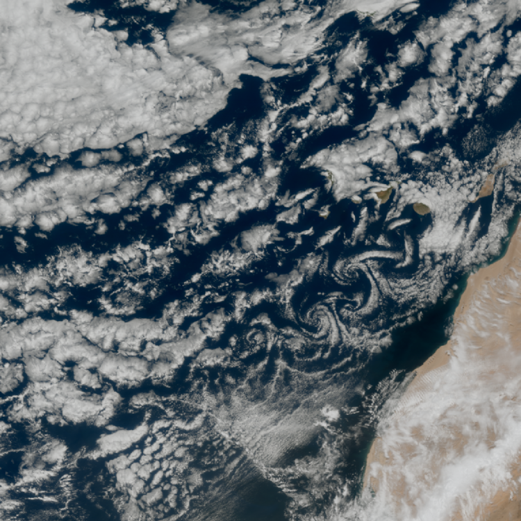
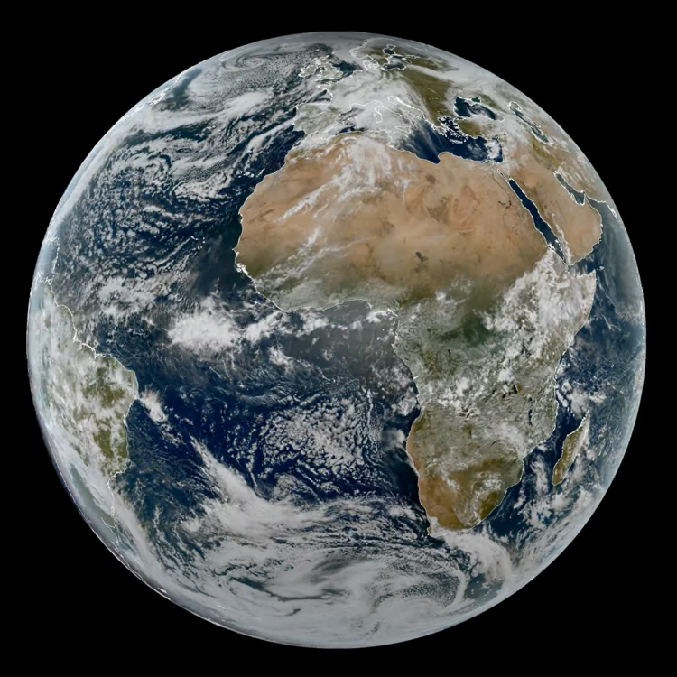
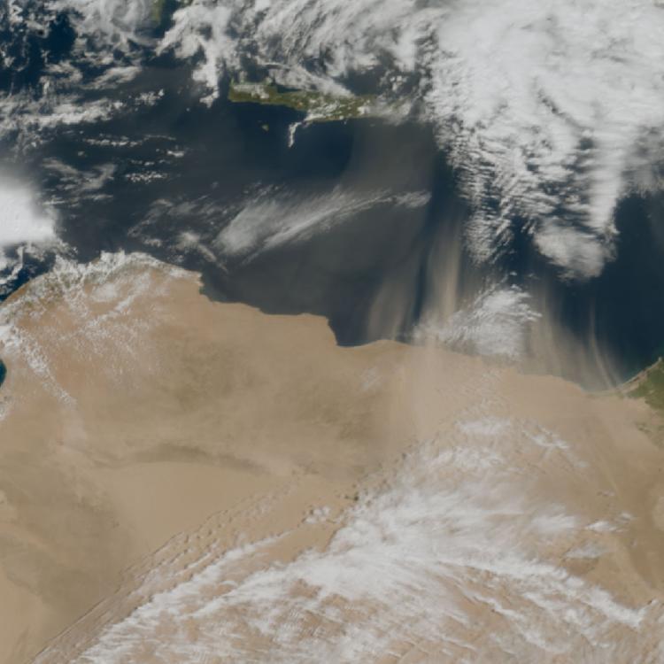
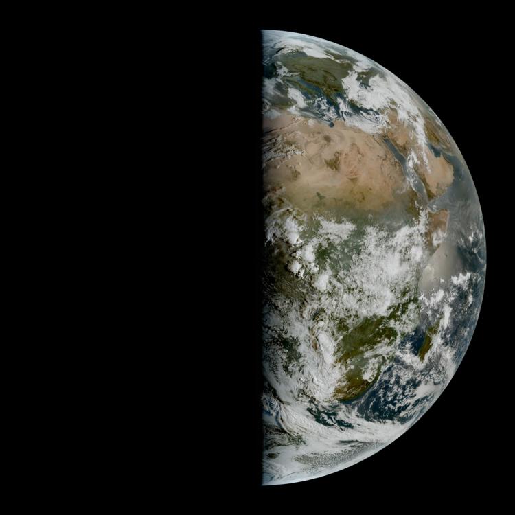
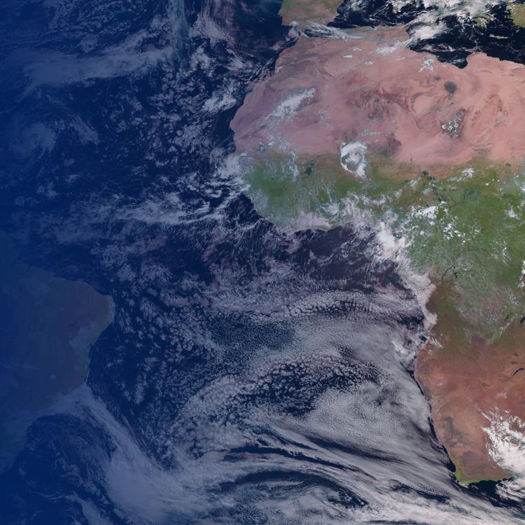
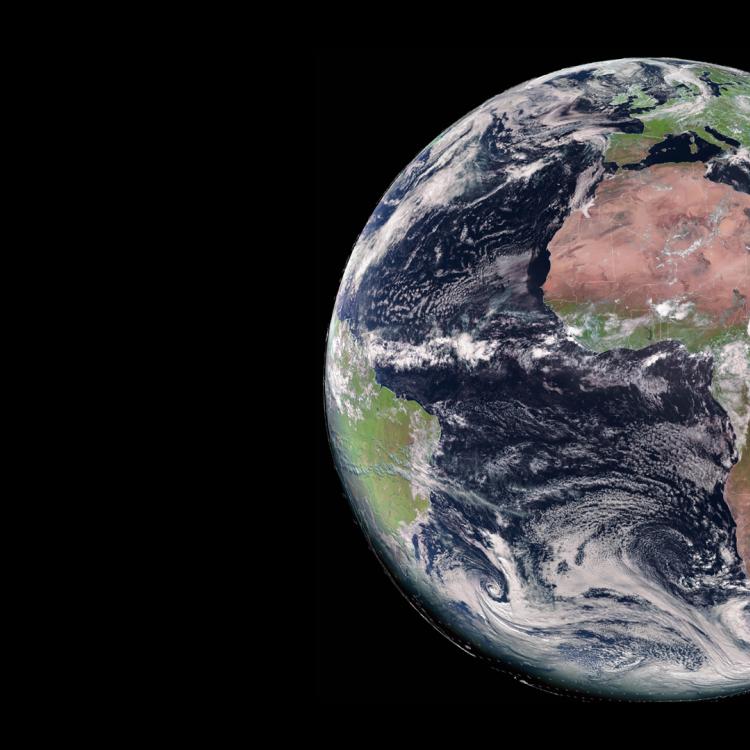
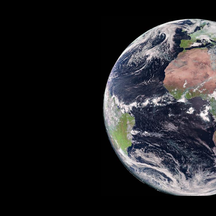
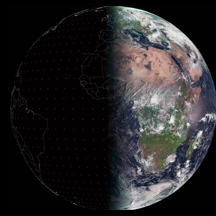
The main image was captured by the FCI instrument onboard EUMETSAT’s Meteosat-12 weather satellite on 31 January 2026.
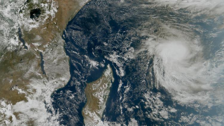
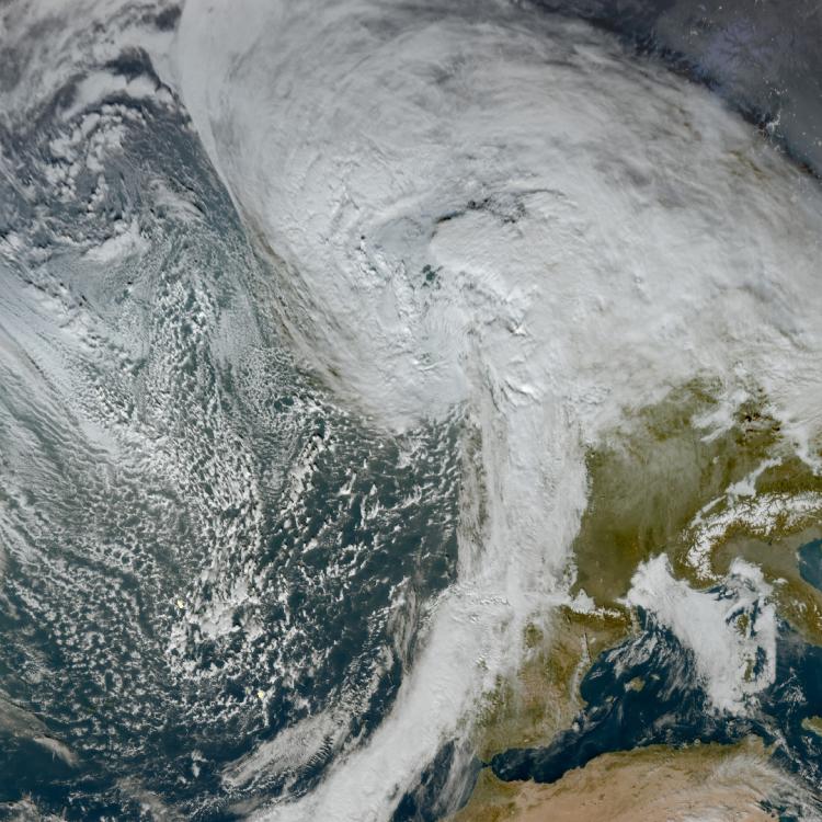
The Meteosat weather satellites provide imagery for the early detection of fast-developing severe weather, weather forecasting and climate monitoring.
More info
Find out about World Wetlands Day and the Convention on Wetlands
More about the Okavango Delta
Meteosat weather satellites and Earth view livestream
Access weather data from the EUMETSAT User Portal