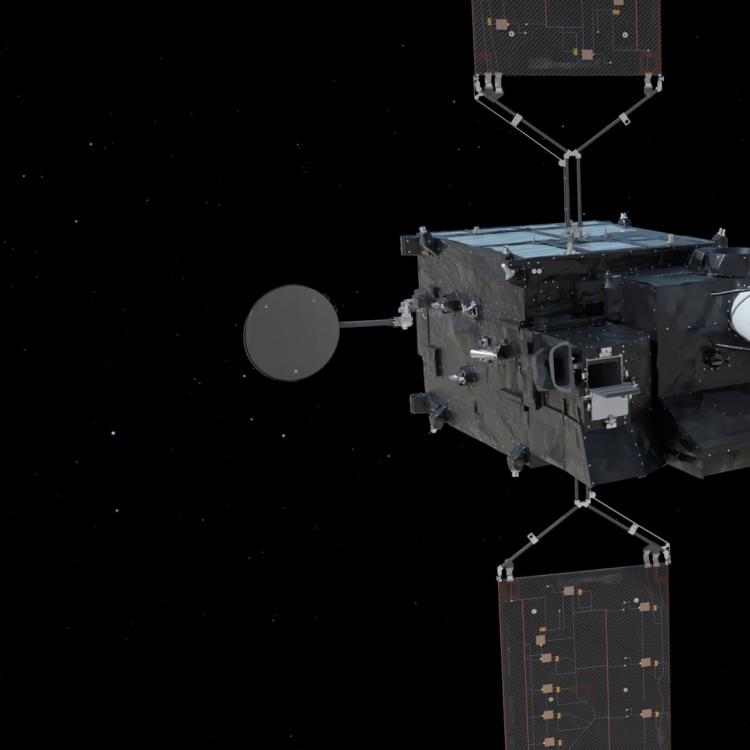
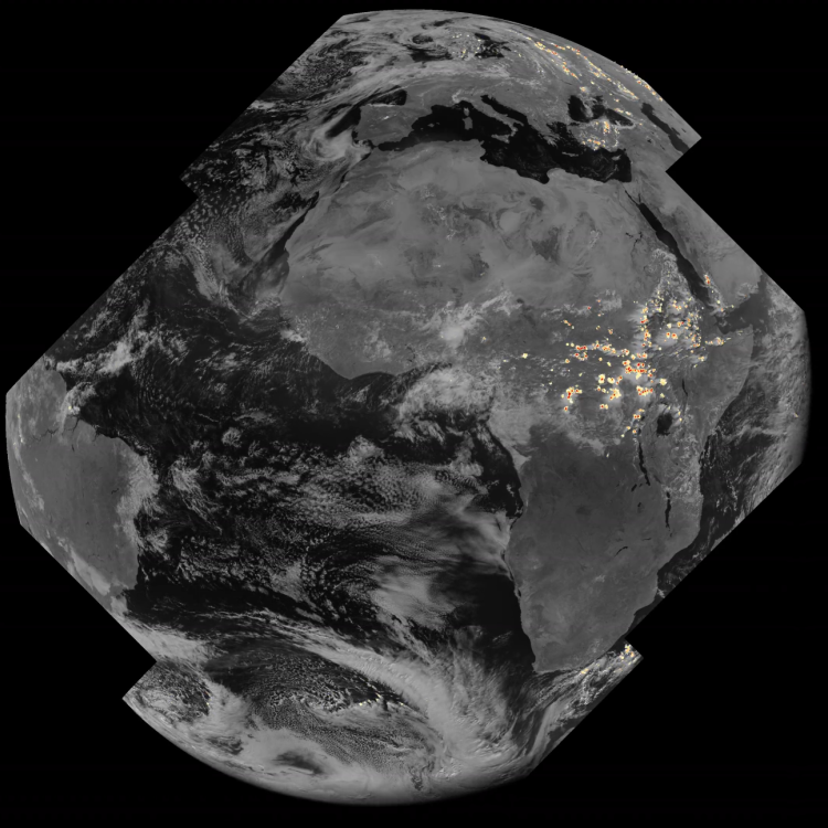
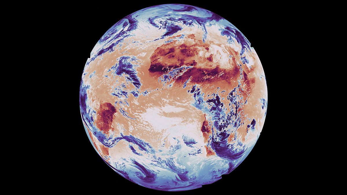
Image of the week: First images from Meteosat Third Generation Sounder 1
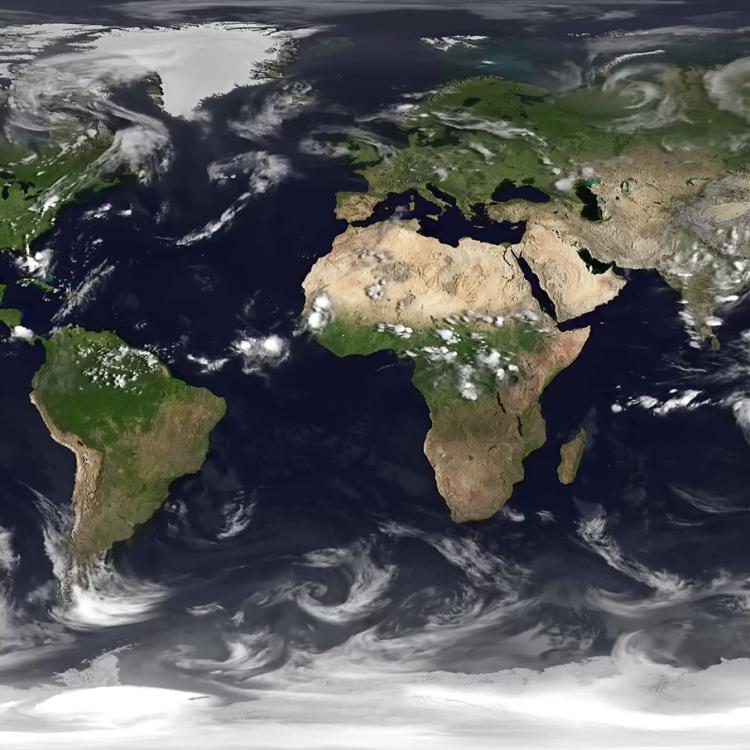
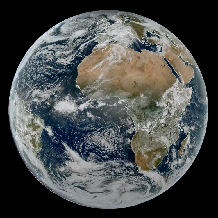
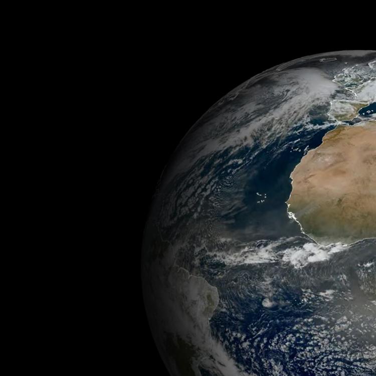
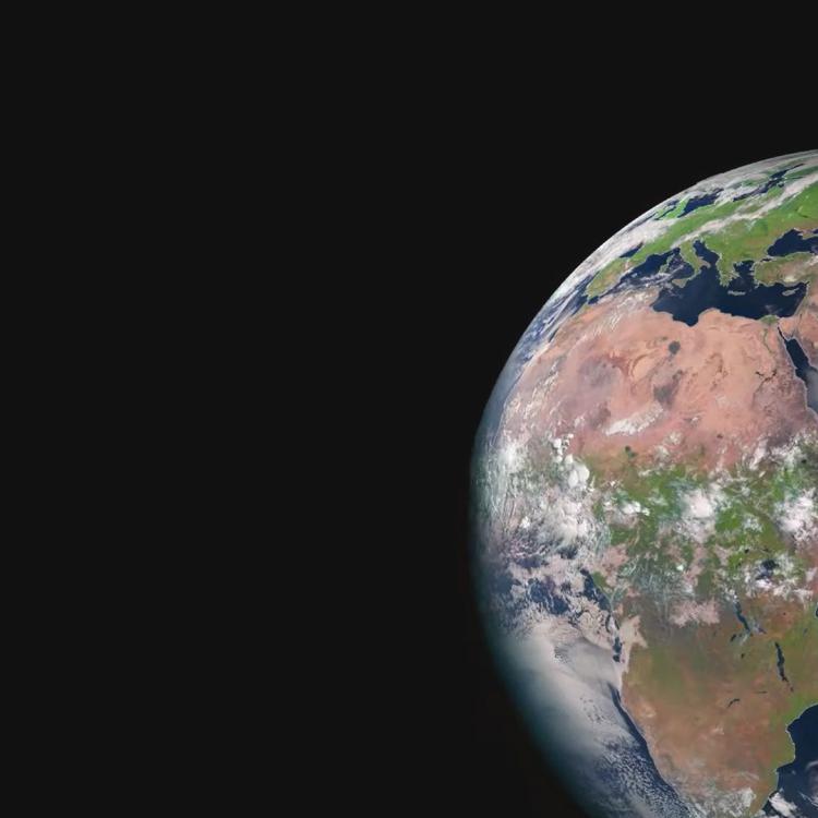
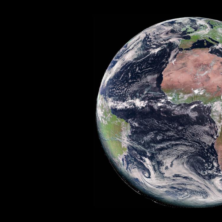
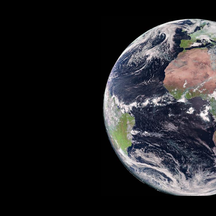
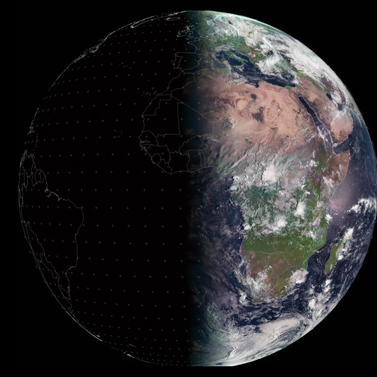
Watching our Earth from space


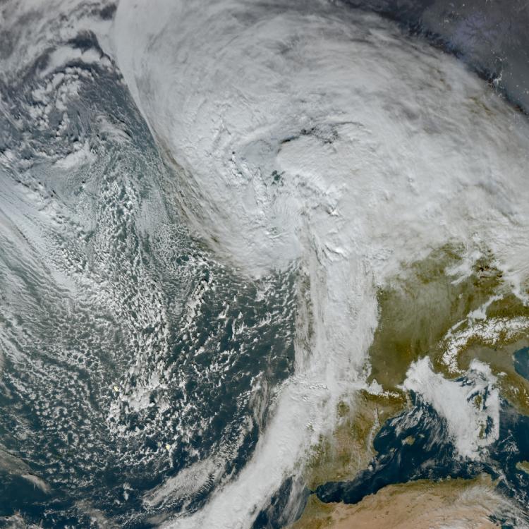
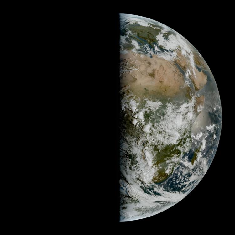
Surface and cloud temperatures image
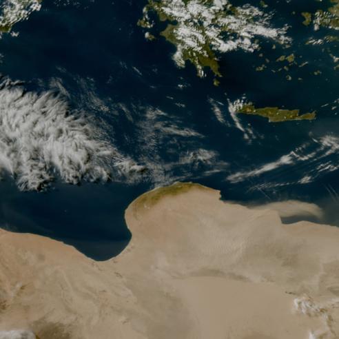
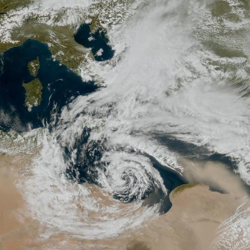
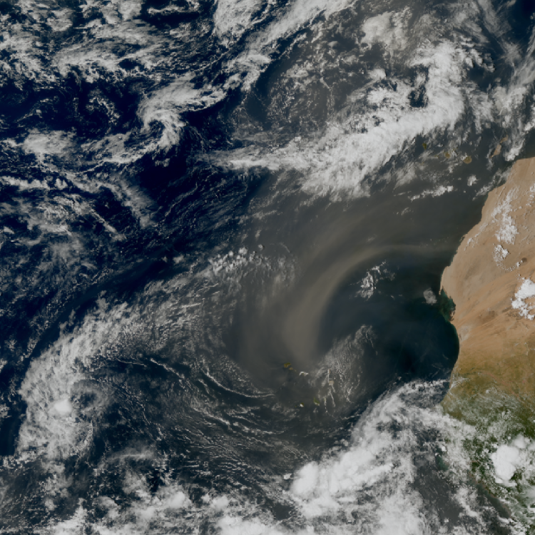
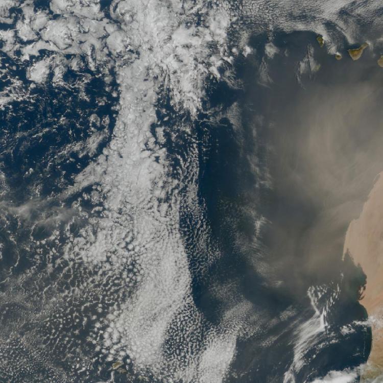
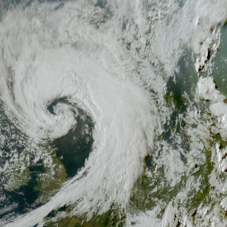
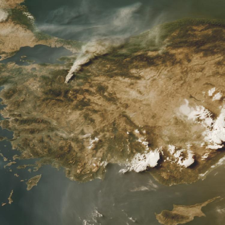
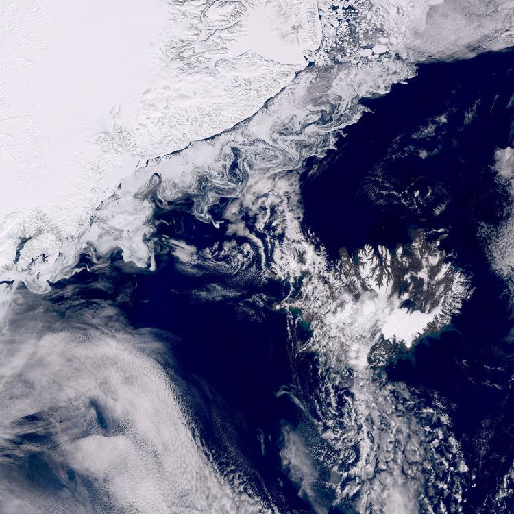
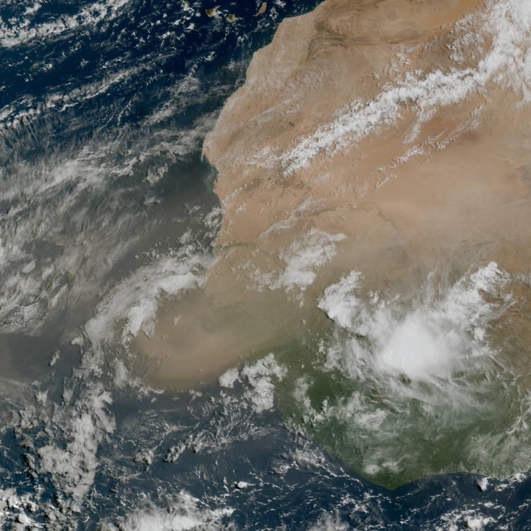
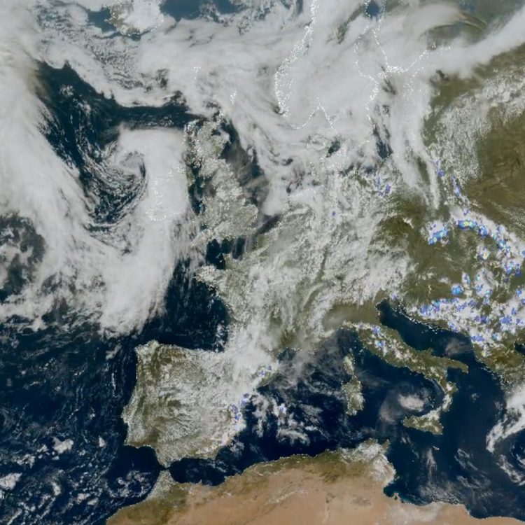
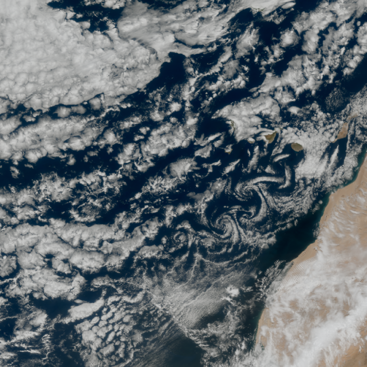
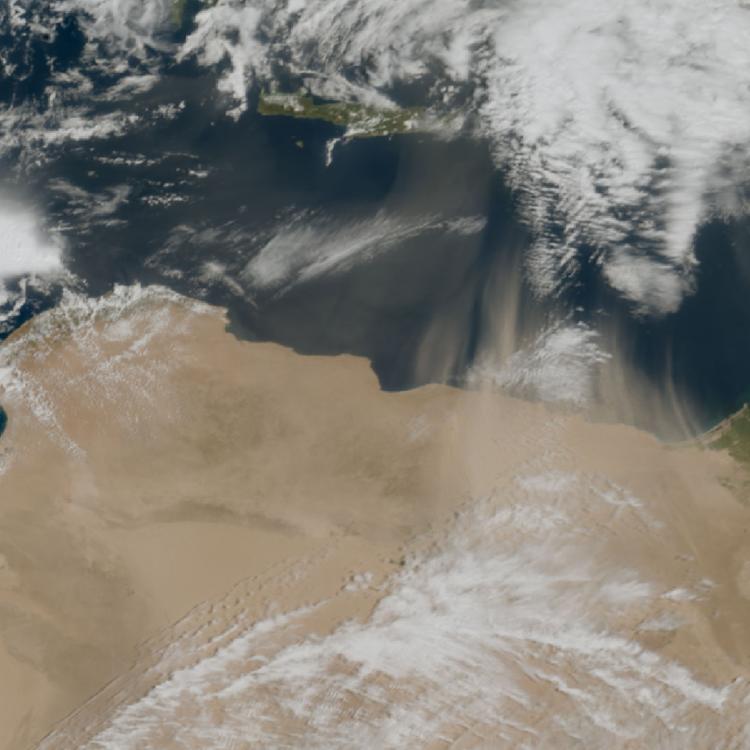
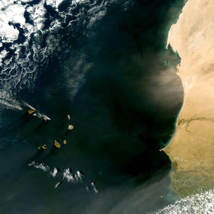
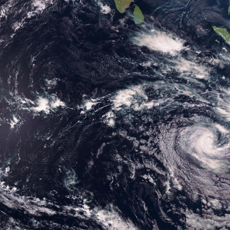
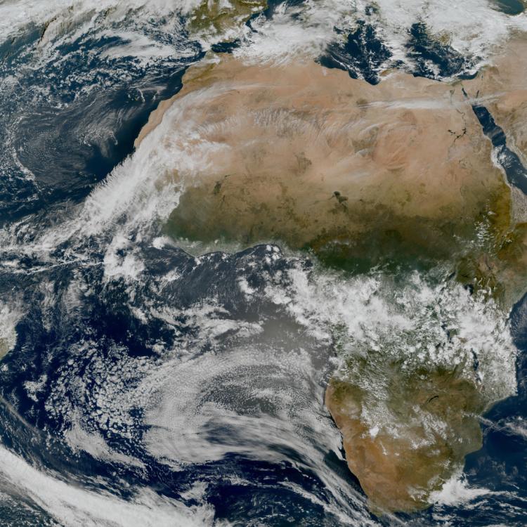
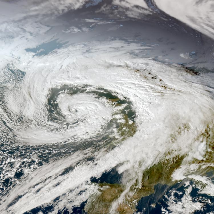
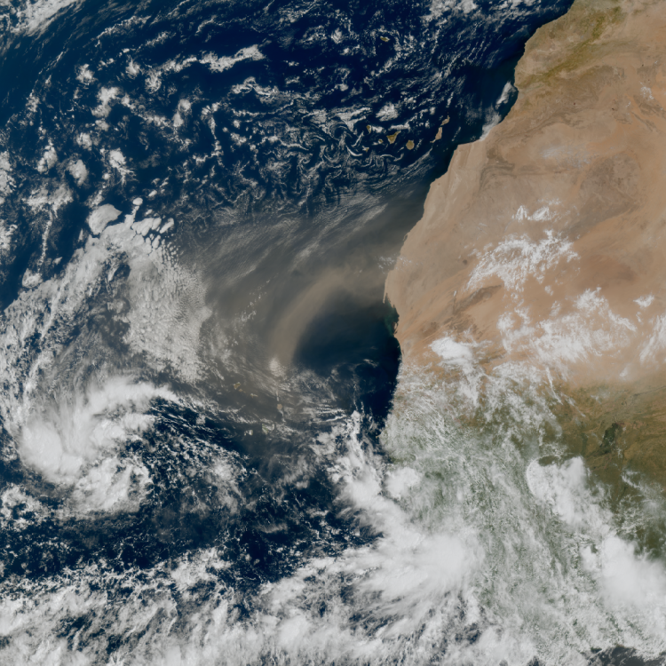
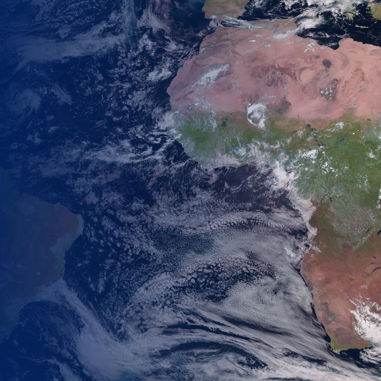
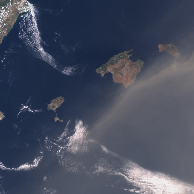
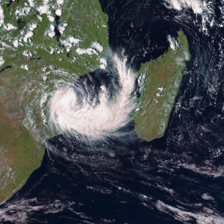
The main image captures clouds associated with Storm Claudia over western and southern Europe. Deep blue tones highlight polar ice and cloud tops, warmer yellow hues reveal ocean waters, and white shades mark thinner clouds. Over the Sahara, the land shifts from dark red under daytime heating to cooler tones at night.
More info
See even more imagery from the IRS here
Meteosat Third Generation
How we monitor atmosphere from space
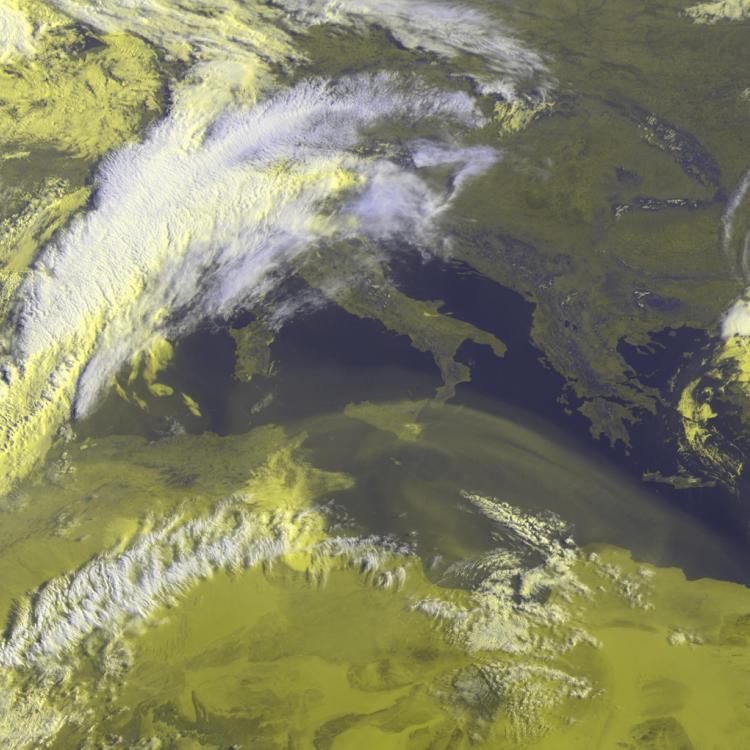
Sweeping through the spectrum
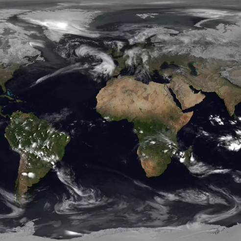
This video shows a selection of infrared channels, with each wavelength highlighting different aspects of the Earth’s surface and atmosphere.
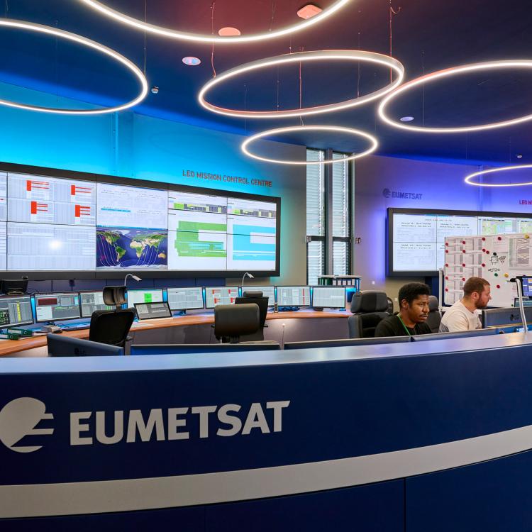
These first images are the result of an intensive commissioning phase by OHB and Thales Alenia Space, under the coordination of EUMETSAT and the European Space Agency. They offer a first glimpse of MTG-S1's new perspective of the dynamic atmosphere over Europe and beyond.