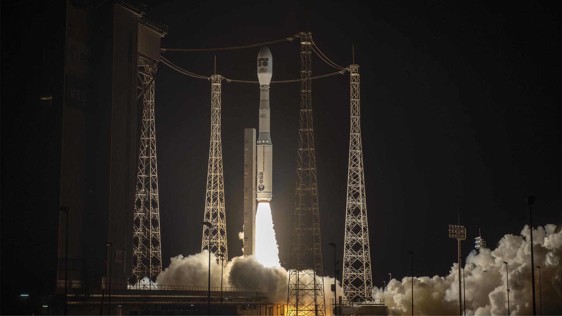
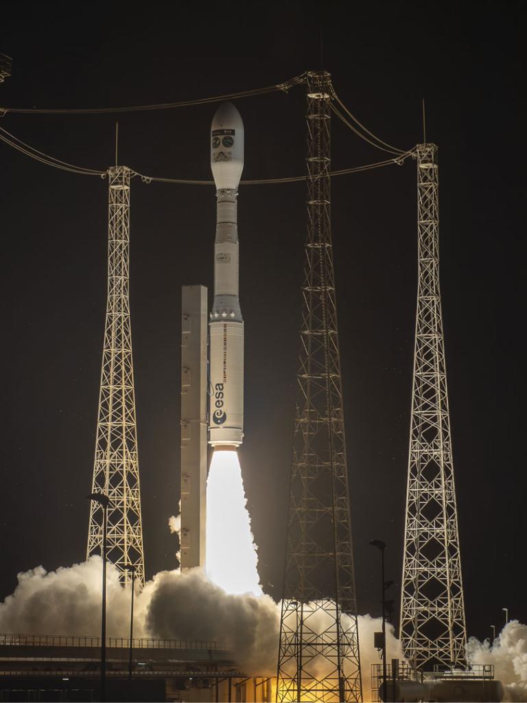
Soaring out over the Atlantic, one of the oceans it will spend its lifetime observing, the Copernicus Sentinel-3C satellite successfully launched from Europe's spaceport in Kourou, French Guiana, on a Vega-C rocket. Data from the third Sentinel-3 satellite will keep vital observations of ocean, land, ice and atmosphere flowing well into the 2030s, helping to save lives, protect livelihoods and strengthen economies.
Copernicus Sentinel-3C lifted off at 03:21 CEST on 15 September 2026, and flight control teams acquired its signal shortly afterwards, confirming that it had separated from the launcher and unfolded the solar array that powers it, sparking celebrations from colleagues who had followed the countdown through the night. Over the coming months it will be manoeuvred into position alongside Sentinel-3A and 3B, taking over Sentinel-3A’s role once commissioning is complete. From there it will observe everything from the phytoplankton blooms that underpin ocean food webs to the smoke from wildfires and the signatures of El Niño events that influence weather worldwide.
Phil Evans, EUMETSAT Director-General, said: “Sentinel-3 is among the most versatile missions in the Copernicus family: its data feed daily ocean forecasts, help spot wildfires, and track water quality, and the long-term changes on which climate science depends. EUMETSAT has delivered the mission's marine and atmosphere data for the past 10 years, improving the products and the speed of delivery to meet what our users need. Continuity is what makes those data valuable, and tonight's successful launch secures this well into the 2030s. I am immensely proud of what European cooperation has delivered again tonight.”
Underpinning critical services
Copernicus Sentinel-3C's instruments track sea level rise and sea ice extent, two of the clearest indicators of climate change. They measure the temperature of land and ocean, helping to identify heatwaves and gauge how fiercely wildfires burn. And they detail the colour of land and water, which helps experts pinpoint algal blooms and drought-stressed vegetation, among other applications.
Sentinel-3 data reach the Copernicus marine, atmosphere, land, climate and emergency services, national weather and marine services across Europe, and researchers, businesses and public bodies worldwide. Teams at EUMETSAT, ESA and the wider Copernicus community work closely with users, meeting the Copernicus services through regular coordination groups, developing new products at their request, and adapting how the mission is operated as their needs change. For example for certain areas of Europe, EUMETSAT has cut the time for fire observations to reach emergency services from three hours to 90 minutes, and researchers have found unexpected uses, such as spotting large methane leaks from space.
Christoph Kautz, Director for Space Policy, Satellite Navigation and Earth Observation at the European Commission, said: “Sentinel-3C secures one of the workhorses of the Copernicus component of the EU Space Programme for years to come. It is a shining example of how Europe turns space-based data into real value for people, the planet and prosperity, with its data feeding marine, atmosphere and climate services every day. EUMETSAT, the European Space Agency (ESA) and the wider Copernicus community have steadily improved the mission's products, and Sentinel-3C carries that work well into the next decade.”
EUMETSAT operates four of the seven Copernicus Sentinel missions and has operated Sentinel-3 and delivered its marine and atmospheric data since 2016. The mission is a joint undertaking with the European Commission and ESA, which develops the satellites with industry led by Thales Alenia Space.
Simonetta Cheli, Director of Earth Observation Programmes at ESA, said: "With Copernicus Sentinel-3C in space, the mission will continue to deliver exceptionally accurate data on almost all aspects of our environment, thanks to a unique combination of instruments. Those data are particularly powerful in combination. Sentinel-6, for example, provides the global reference for sea level while Sentinel-3 fills in the finer detail, and ESA's new FLEX satellite, launched alongside it, will measure the faint glow plants give off as they photosynthesise, a signal interpreted using Sentinel-3C's observations. I am delighted to see the mission in great shape for the years ahead."
In support of the European Commission and in close cooperation with ESA, EUMETSAT is part of the European partnership delivering the Copernicus Sentinel-3 mission, operating the satellites and providing data and products to Copernicus services and users.
For further updates on Sentinel-3C, visit EUMETSAT's launch hub, which features news, interviews and insights into the satellite's journey.
Find all relevant information, biographies of speakers, videos and testimonials on our dedicated press page.
Main image
©2026 ESA-CNES-AVIO \ Optique Vidéo de CSG - J GEORGET

