


28 May 2025
07 April 2020
The Copernicus Marine Service (CMS), which is operated by Mercator Ocean International, is the marine component of the Copernicus Programme of the European Union.
The service provides free, regular and systematic information on the state of the blue (physical), white (sea ice) and green (biogeochemical) ocean, on a global and regional scale.
The marine data and services provided by CMS enable marine policy implementation and support blue growth and scientific innovation.
What is EUMETSAT's role?
EUMETSAT delivers a range of ocean products to the Copernicus Marine Service and its user community. This includes data and products from EUMETSAT's Metop and Meteosat satellite series, the Copernicus missions which it operates, Sentinel-3, -6 and Jason-3, and from missions of EUMETSAT's international partners.

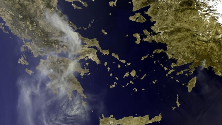
"For oceanography, Sentinel-3 is perhaps the most beautiful satellite ever built"
Remote Sensing Scientist, EUMETSAT