
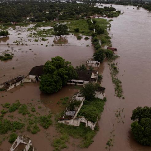
Brewing up a storm in 2017
The brute strength of nature was particularly evident in 2017 when hurricanes, typhoons and cyclones left trails of misery in their wake in communities around the globe.

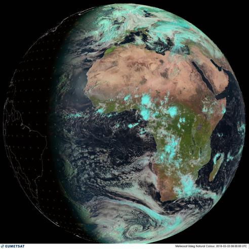
EUMETSAT has just published its annual Year of Weather animation, which illustrates where 2017’s major storms formed, the conditions that spawned them, and their tracks, as well as other significant weather events.
19 May 2022
19 February 2018
The 11-minute animation comprises cloud imagery provided by Météo-France – Centre de Météorologie Spatiale, based on infrared data from the geostationary and polar-orbiting satellites of EUMETSAT, the National Ocean and Atmospheric Administration (US), the China Meteorological Administration and the Japan Meteorological Agency.
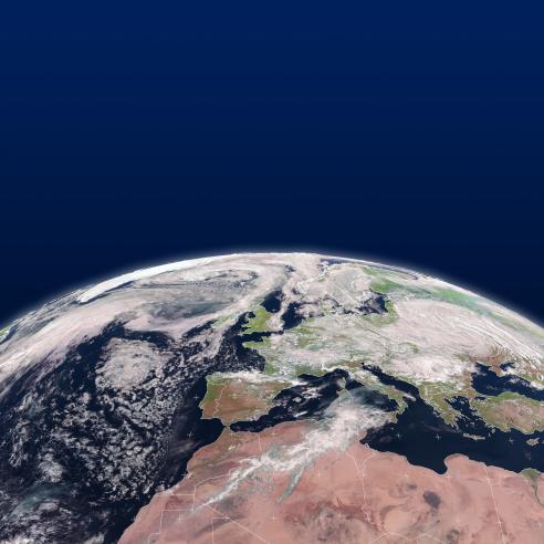
The movement of clouds in the polar regions and the changes in their behaviour during the respective winters and summers, as well as the contrasting patterns in the tropics, can be seen from a perspective only possible with satellite imagery.
Visible in the animation are severe storms ranging from Tropical Cyclone Debbie which formed in the Arafura Sea and struck north-eastern Australia in March, Typhoon Noru, which formed in the Northern Pacific in July and made landfall in Japan and the series of hurricanes which devastated parts of the Caribbean and United States in August and September.
EUMETSAT Training Manager Dr Mark Higgins narrates the animation and explains some of the major weather events that occurred in 2017, and the challenges weather forecasters face to provide accurate information to help save lives and mitigate losses.