Cooperation on satellite observation quality
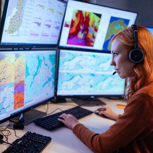
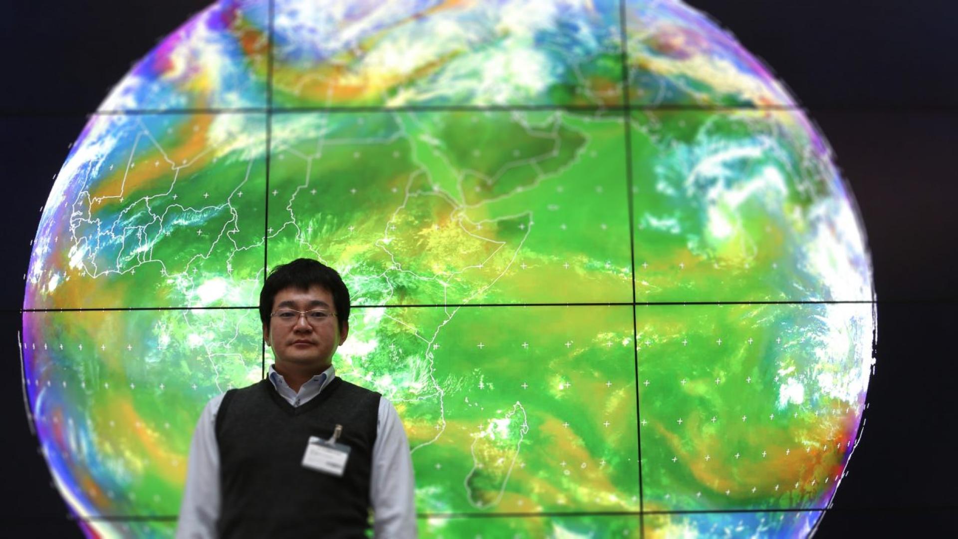
We discuss with a visiting scientist from the Japan Meteorological Agency.

Science is made of people and part of what makes scientific research successful is the continued collaboration with peers. EUMETSAT makes a point of fostering cooperation with various agencies around the world and as part of our mission we often host visiting scientists.
01 November 2023
01 December 2016

Masaya Takahashi has joined EUMETSAT from JMA, the Japan Meteorological Agency, for a period of three weeks to collaborate with our scientists and engineers on the calibration and validation of data and products from JMA geostationary satellites within the context of the Global Space-based Inter-Calibration System (GSICS). We talked to Masaya about his time working at EUMETSAT.
Can you tell us about your background and your work?
I have an MSc in geophysics and during my studies I specialised in meteorology and seismology. When I first started at JMA I worked at the local observatory providing forecasters assistance with meteorological observation (such as visibility, cloud height and type) and weather reports. After two years I moved to the headquarters and started focussing on assimilating ocean wind vectors (such as Metop’s ASCAT) on JMA’s numerical weather prediction models.
Later on I moved to the JMA Meteorological Satellite Center, which is tasked with observing meteorological and related phenomena from space using meteorological satellites, processing observational data collected, and disseminating this information and the products derived from it. In my current position I am in charge of developing post-launch visible and infrared radiometric calibration methods for JMA geostationary imagers on the GMS, MTSAT and Himawari satellites within the GSICS framework collaborating with international agencies.
Actually I came at EUMETSAT for a 1-year stay as a visiting scientist from March 2014 to February 2015. During that time I worked mainly on instrument calibration in the framework of GSICS.
What did your work entail at the time?
I came right when we were preparing to launch Himawari-8 (the satellite was launched in October 2014) and we wanted to improve instrument inter-calibration techniques through the cooperation with other organisations. My boss recommended me to spend my time at EUMETSAT as I already knew the team from previous GSICS meetings and there had always been good relations between us.
During my year at EUMETSAT I followed the inter-calibration of the infrared channel, of the visible channel using deep convective clouds and of the visible/near infrared channel using the Moon. Inter-calibration methods consist in comparing a reference instrument, with well-known calibration characteristics, with collocated observations from another instrument, in order to derive calibration corrections for the latter. On this topic I started developing calibration techniques and working on the data management of GSICS products. During that time I had also the chance to work with the climate team on different projects, one of which is SCOPE-CM for which we are a part of through the WMO framework.
What are you working on now?
I came back for these three weeks at EUMETSAT to continue what I started in 2014. The collaboration is still ongoing and on top of this I got the opportunity to meet and exchange views with another expert on lunar calibration from USGS that was also invited by EUMETSAT. This time my work focuses specifically on lunar calibration of the visible/near infrared channel. Lunar calibration works by using a lunar irradiance model which has been developed by USGS and implemented by EUMETSAT as an international calibration reference for radiometric calibration of the satellite’s sensors: GSICS Implementation of the ROLO model (GIRO).
How does this relate to Himawari-8 and Himawari-9, the new generation geostationary satellites launched by JMA?
Regarding the calibration of our new GEO satellites, Himawari-8 and -9, there is one big advantage compared to current and past GEO imagers: AHI (Advanced Himawari Imager) on these satellites can observe the Moon using its super rapid-scan mode. This mode observes a small area (1,000 x 500 km) of Earth every 30 seconds. This is mainly used to improve navigation accuracy by observing a landmark (e.g. a coastline of Australia), but we also apply this mode to lunar observations when the Moon is within the imager’s field of view.
These data are expected to improve the radiometric calibration method for visible and near-infrared channels and we had very productive discussions with the expert from USGS and EUMETSAT scientists. What are your impressions of EUMETSAT since you've been here and what differences have you experienced between working and living in Europe versus Japan? I find EUMETSAT to be well organised: the roles of staff and consultants are clearly defined, so everyone can focus on his or her own job. In Japan roles are not defined as here: every two to three years we basically change jobs and deal with different topics. The work-life balance in Germany is very nice.
In Japan, we often (have to) give high priority to our jobs and this can cause problems for health, families, etc.
What do you like the most about EUMETSAT?
I really like the working environment which is completely different from what I am used to in Japan. As EUMETSAT is an international organisation, there are many people from different countries brought together at work on a daily basis which means that the atmosphere is very multicultural.

