The last leg of the Polarstern's journey
The students following the Polarstern have provided us with one final report on what the vessel encountered on the way to its final destination: Cape Town.

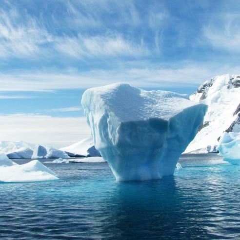
It's been an interesting ride from Bremerhaven so far and we've learnt a lot from the students along the way, getting to see what weather events the research icebreaker witnessed on its voyage.
12 March 2021
20 December 2018
So, wrapping things up as the mission comes to its end, here is the sixth and final blog installment from aboard the RV Polarstern.
Blog six
Mission complete: hello Cape Town
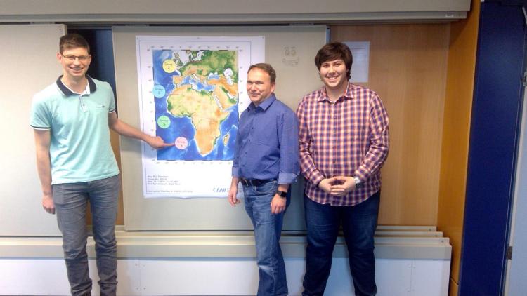
Authors: Sabine Schmidt, Laura Janßen, Thomas Möslang

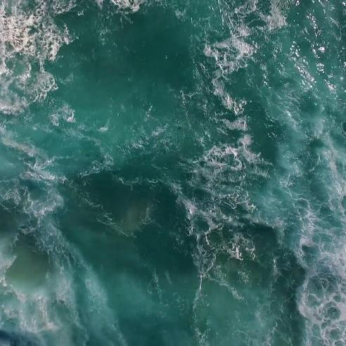
The Benguela Current
On its way to Cape Town, the Polarstern crossed the Benguela Current. This is a cold, ocean current that flows along the west coast of Africa, starting from the Cape of Good Hope in South Africa along to the equator.
This current is formed due to the flow of the Antarctic Circumpolar Current (ACC), which provides the Benguela Current with cold water masses and temperatures of 12-20°C. This conveyor belt of cold water has great influence on the adjacent coastal areas of Africa. Furthermore, the cooling of the air above the cold water also leads to the formation of the dry Namib Desert along the coast of Namibia on the south-east coast of Africa.
The offshore coastal winds of the Benguela Current also have a very positive effect on the marine-life here. The current causes the surface water to flow away from the coast, transporting nutrient-rich deep water to the surface and stimulating the nutrient cycle. As a result, the areas off the coast of Namibia are among the richest in fish on Earth. Not only will you find sardines, anchovies, mackerels and hake here, you can also find an abundance of lobsters, crabs and tuna.
The Benguela Current significantly effects the formation of the Namib Desert and we'd like to explain briefly why that is...

Namib Desert
Before we get into the make-up of the Namib Desert, here are some facts about it:
The name Namib means “vast place” and, at approximately 80 million-years old, it is possibly the oldest desert in the world. The biggest part is located in Namibia, but it extends further over Angola and South Africa, right alongside the Atlantic Ocean - making it one of the few coastal deserts on Earth.
The Namib covers an area of about 95.000 km², with a distance north to south of 2000km and from the coast to the centre around 160km. It also stands at around 500m above sea level.
Now onto its climate state. The daily temperature between morning and night varies greatly, reaching up to more than 50°C during the day and dropping to just below 0°C in the evening. Drought and frequent sandstorms are normal here. However despite these extreme conditions, there are certain animals and plants that have been able to adapt to the area. The dryness is due to the Benguela Current. By bringing with it the cold Antarctic water, the sea and atmospheric layers immediately above it are abnormally cold. Above this are the warm, dry, continental atmospheric layers from the south-easterly trade winds, which blow offshore due to the Coriolis force.
Furthermore, the constant south-east trade winds and deflecting Coriolis force also cause an offshore movement of surface water. This leads to a lifting of cold water from the deeper layers in the coastal area, forming an inversion (reverse temperature profile with height). As a result, no convection can take place, so the cold moist air cannot rise. Cloud formation and thus rainfall are therefore scarce here.
In the cold sea air, the haze accumulates from fog forming. This fog occurs on approximately 200 days of the year. It settles in the early morning hours and is the only source of moisture for many creatures. Other examples of coastal deserts can be found in Chile and Peru, both on the west side.

Cape Doctor
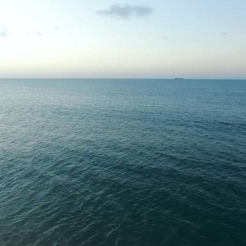
After a month of travelling across the channel between Great Britain and Europe, stopping in the Canary Islands for a couple of days and moving along the east coast of Africa, the RV Polarstern is now on its last leg towards Cape Town.
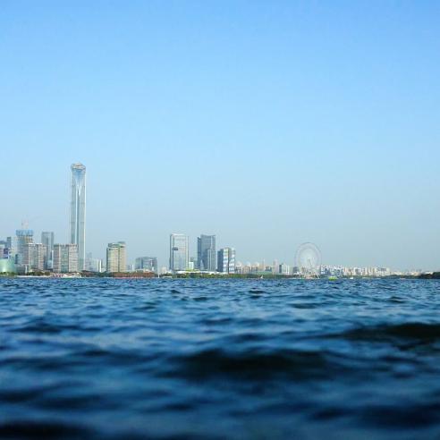
Cape Town, known to locals as the “Mother City” is one of the world's most populous cities on the Atlantic Ocean. Cape Town is famous for its Table Mountain, a majestic mountain that provides a breathtaking backdrop to the city. The mountain is not only famous for its unique nature, it is also responsible for certain weather conditions on the shore of Table Bay.
Often during the summertime (between November and March) a very strong, dry wind blows directly from the mountain up into the city and onto the beaches. This wind is known as "Cape Doctor".
Thanks to this wind, the city is free from pollution and dust. Furthermore the sky becomes clearer, offering an amazing view over the bay. On a hot summer's day, locals can often be heard saying “it's time for the South-Easter” which is what the Cape Doctor is also known as.
Cape Doctor blows from the False Bay and funnels through to Cape Town and Bloubergstrand. The South-Easter is extremely strong here because of the funnel of the mountain range, including the Hottentots Holland Mountains. Wind speeds of up to 160km/h have been measured around Table Bay.
Cape Doctor works like a dry, warm downward slope and occurs in the leeward region of the mountains. This wind is a result of the adiabatic warming of air that has lost most of the moisture on the windward slopes. The air picks up warm moisture from False Bay waters and blows it around the eastern side of Table Mountain. Here, the air is pushing upwards and the rain starts. This results in more rainfall in this region during the summertime.
The thick clouds that spill over the top of Table Mountain are what's known as ‘the tablecloth’. Famous vineyards (e.g. Constantia Glen) and the Botanical Garden Kirstenbosch are situated on this side of the Table Mountain region. On the other side of the mountain, adrenaline junkies are happy for the winds here, as Cape Doctor is famous beyond South African borders for its great water sport opportunities. Every year during the summertime, thousands of surfers travel to Cape Town to make use of the popular Cape Doctor winds.


We do hope that you've enjoyed this virtual adventure and would like to thank the students for their time and effort in compiling these reports for us.
Stay tuned next year for more exciting features!