Rescuing and restoring satellite data to respond to the climate crisis
By restoring datasets from past satellite missions, historic measurements provide a bounty of information to address the climate crisis


Ahead of the COP26 climate summit in Glasgow, UK, EUMETSAT’s Jörg Schulz reflects on the importance of rescuing and restoring data from past satellite missions to enhance responses to the climate crisis.
01 November 2023
28 October 2021
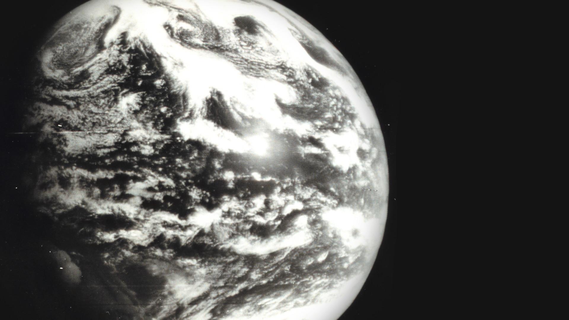
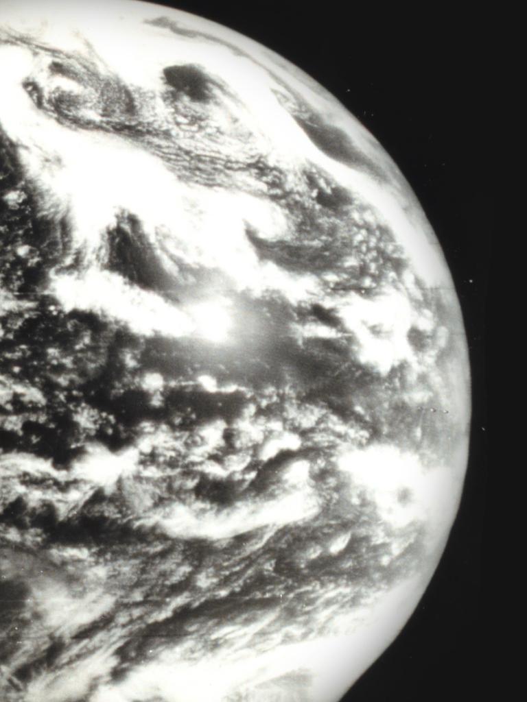
When NASA’s experimental weather satellite Television Infrared Observation Satellite-1 (TIROS-1) was launched into low-Earth orbit in April 1960, it created a forecasting revolution. For the first time in the 4.54 billion-year history of the planet, it was possible to observe the world’s weather patterns in detail from the perspective of a neighbour.
The footage beamed down to meteorological stations by TIROS-1 and other early weather satellites provided spectacular new opportunities for weather forecasters. Cloud formations, for instance, showed up on recordings with astonishing clarity. They enabled meteorologists to spot wind patterns, the formation of hurricanes, and better understand the life cycles of storms.
As newer generations of satellites delivered images and soundings of better resolution, clarity, and detail, these incredible early observations faded into oblivion. However, more than six decades on, the datasets collected by past missions are once again proving crucial, this time for understanding and reacting to the global climate crisis. As the 26th conference of the parties to the UN framework convention on climate change (COP26) begins, the work underscores the importance of Earth observation science in tackling climate change and driving actions through mitigation, adaptation, and international collaboration.
Piecing together the climate puzzle
“The first weather satellites were experimental,” says Dr Jörg Schulz, Head of Climate Services at EUMETSAT. “They may have provided data for a few months or up to two years if you were lucky. There were also significant gaps in time between missions. But these observations provide valuable insights into the global environment at that time.”
Focus is now increasingly turning to rescuing, restoring, and reanalysing historic satellite data.
“The value of historic data has increased dramatically: it extends the time series, filling in the details of the past as we move forward to the future,” says Schulz, , who speaks at Earth Information Day, part of the COP26 climate summit in Glasgow, UK. “Since the late 1970s, meteorological satellites have been planned in succession: missions therefore have a heritage to the past.
"With the forthcoming Meteosat Third Generation satellites, we will ultimately have 60 to 70 years of comparative observation. With these data, climate trends become much clearer. Collectively, these datasets are invaluable for providing robust information about changes in the environment on a global scale. It is only possible through coordinated international collaboration. We need to continue to strengthen the use of the satellite data for climate science and services to further increase their value for society."
When early satellites crossed within range of ground stations, dish-shaped antennas tracked them across the sky, collecting a cacophony of signals, unscrambling them, and storing the data on media such as magnetic tapes. But times change and, in the digital age, many older storage media are now obsolete.
“Fortunately, many of these historic measurements have been archived, but rescuing them can get trickier the further back in time you go," Schulz explains. "The quality of data stored on magnetic tapes and floppy discs, for instance, can deteriorate and there have been countless cases of physical media being lost. At the time early weather satellites were in operation, very few people were thinking about using the data for climate monitoring.”
However, since the turn of the millennium, highly successful international initiatives led by organisations such as EUMETSAT, the ECMWF, ESA, the Met Office (UK), NASA, NOAA, and the University of Wisconsin’s Cooperative Institute for Meteorological Satellite Studies (CIMSS), have sought to recover old satellite data and make them available for climate analyses. These include multi-year projects to make past satellite and in-situ observations available for global climate analysis.
One major initiative was the European Union-funded project European Reanalysis of Global Climate Observations (ERA-CLIM and ERA-CLIM2). The ERA-CLIM projects endeavoured to recover data for climate reanalyses in general, including the transfer of eye and instrument observations from paper to digital media. Satellite data were part of the mix of information addressed, sourced from institutes, satellite agencies, universities, and libraries to produce observational datasets and comprehensive inventories of available and potentially useful data records from missions past. ERA-CLIM facilitated major reanalyses of atmospheric data from the 20th Century.
There have also been many grassroots initiatives, where researchers have stumbled upon old tapes sitting on institutional shelves or where people have tracked down datasets by reaching out to peers. Much of the data collected from the Meteosat-1 – the first satellite in the Meteosat First Generation series –, for instance, were found stored in boxes in a CIMSS cellar in 2015. And experts must sometimes turn to creative methods to restore the data – for instance magnetic tapes from Meteosat missions have been known to be ‘baked’ in the oven to reverse damage and facilitate retrieval of data.
“Rescuing and restoring these multitudes of data to make them useful for further analysis is hard work and time consuming,” Schulz says. “Steps include digitising, reformatting, debugging, removing errors, and calibrating if possible. But done right, these data provide a powerful resource for understanding how the world is changing as climate change accelerates. For instance, through this work we can bring datasets up to the standard required of a Fundamental Climate Data Record – a long-term data record of quality controlled and calibrated sensor data."
Building high-quality climate datasets
Schulz likens the endeavour to reanalyse historic datasets to an immense four-dimensional jigsaw puzzle across space and time. It extends from the surface of the Earth to the edge of the atmosphere. Some pieces are missing, while others are overlapping. And, for the past 60 years at least, satellite data can go a long way to filling in some of the gaps.
“Datasets from past satellite missions provide detailed information on cloud cover, temperature, water vapour, glaciers, polar ice, wildfires, river discharge, essential trace gases in the atmosphere, and much more,” says Schulz. “Geostationary satellites, for instance, cover up to a third of the Earth’s surface with each mission. This provides information of tremendous importance for climate studies and can shine a light on everything from cloud cover to droughts and fires, to the occurrence and intensity of seasonal storms.”
One way meteorologists make use of these data is to reanalyse them using modern-day weather models. But to use these datasets in the context of climate models requires data to be stable and as accurate as possible. “Radiometric or image anomalies in the data can present a major challenge,” Schulz says. “Each instrument behaves differently in space, is bombarded with radiation, or hit by particles, by which instruments can degrade over time: by the end of their life cycles they are not measuring the same way as they did at the beginning of the mission."
These artefacts can adversely affect the results of climate studies and climate trend analyses. Therefore, teams working on these datasets must work to correct blips, errors, and artificial trends – for instance by recalibrating instruments against a superior reference that is more accurate or finding other means if that is not available.
Jumps in data come not only from observations but also from changes in the methods used to geolocate and calibrate satellite measurements. “From many past missions, we are missing information relating to methods and algorithms that were applied to navigate or calibrate the satellites,” Schulz explains. “It is crucial to know this information to put their measurements in context and account for the differences between individual instruments and satellites.”
Towards systematic climate observations
In 2015, a global climate pact was signed in Paris at the COP21 climate summit. This has since been ratified by 191 states and the European Union. The agreement underscored the importance of accurate and continuous measurements of climate change. “In order to construct useful, multidecadal climate data records, it is essential that the wide-ranging observations we are making now are combined with a time series of past observations made of recent changes in the climate,” Schulz says.
The scale of global reanalyses has expanded significantly in recent years, incorporating data from the atmosphere, land, and seas, and spanning a century or more, thanks to satellite and in-situ data. “By bringing historic data back into play, it is providing a massive amount of data contained in the millions of weather reports from locations around the world, in a form of comprehensive datasets that can be compared across space and time,” Schulz says. “They are also increasing in importance for the community. Reanalysed datasets have tens of thousands of users, and contribute to high-level climate documents such as IPCC reports, as well as state of the climate reports and bulletins of organisations such as the American Meteorological Society, the Copernicus Climate Change Service, and the World Meteorological Organization.”
When TIROS-1 – that first weather satellite – was launched, Morris Tepper, Chief of NASA's Meteorological Satellite Programme said: "The weatherman has been like the proverbial blind man, who tries to describe an elephant by feeling its trunk. Now for the first time his eyes are being opened to a view of the entire animal".
Now these same datasets have helped open the world's eyes to the threat of the climate crisis. “Satellite data are an essential resource for climate monitoring, including in its reanalysis,” Schulz says. “Unless we react decisively there will be huge implications for the natural world and for humankind. We need to continue to strengthen the use of satellite data for climate science and services to help guide this response.”
Author:
Adam Gristwood
Image credit: NOAA