Satellite imagery captures devastating wildfires across Europe in 2025
Meteosat-12 carries a powerful instrument for detecting and monitoring fires
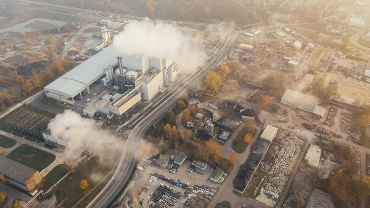
In the summer of 2025, Spain, Portugal, and other European countries experienced an unusually intense fire season. EUMETSAT’s Ivan Smiljanic explains how observations from the Flexible Combined Imager on board Meteosat-12 are used to keep people safe.
Wildfires in Spain and Portugal
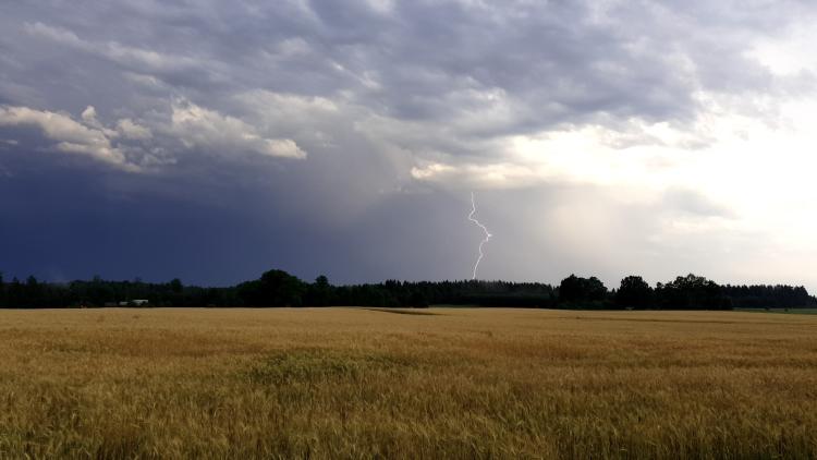
“Here we are looking at fires in part of the Iberian Peninsula in mid- to late August of 2025. What we are seeing are weather conditions that are mostly dry and windy. It is worth noting that in August 2025, the wind was persistent day after day, which we can tell from the movement of the clouds and smoke.
Credit: Ivan Smiljanic
“At the beginning, the dry vegetation serves as fuel for fires but then also other factors play a role in fire dynamics, like oxygen supply and wind patterns. As long as you have fuel and an abundance of oxygen, once started, fires will continue. In the case of wildfires as extensive as these, with multiple fire fronts across such a huge area, fighting these fires is very hard. Not only were the winds feeding them with additional oxygen and heat, but the wildfire fronts – the edges in the direction of expansion – were moving very fast.
“On some days, like on 10 August east of Porto, Portugal, the fire front was moving very fast. Same with the fire east of Porto – it moved very quickly during the day and northward very fast the next day.
“In the animation on the left, the Meteosat-12 Flexible Combined Imager Day Land Fire RGB composite, you can see where the fires are located. However, with the Fire Temperature RGB composite on the right, you can actually see the intensity of the fires. This aids the efforts of firefighters, enabling them to concentrate their efforts on the most active ones. Fire intensity is something the Spinning Enhanced Visible and Infrared Imager on board the previous generation of Meteosat satellites cannot fully detect but the Flexible Combined Imager on board Meteosat Third Generation Imager satellites can detect, which is very beneficial.”
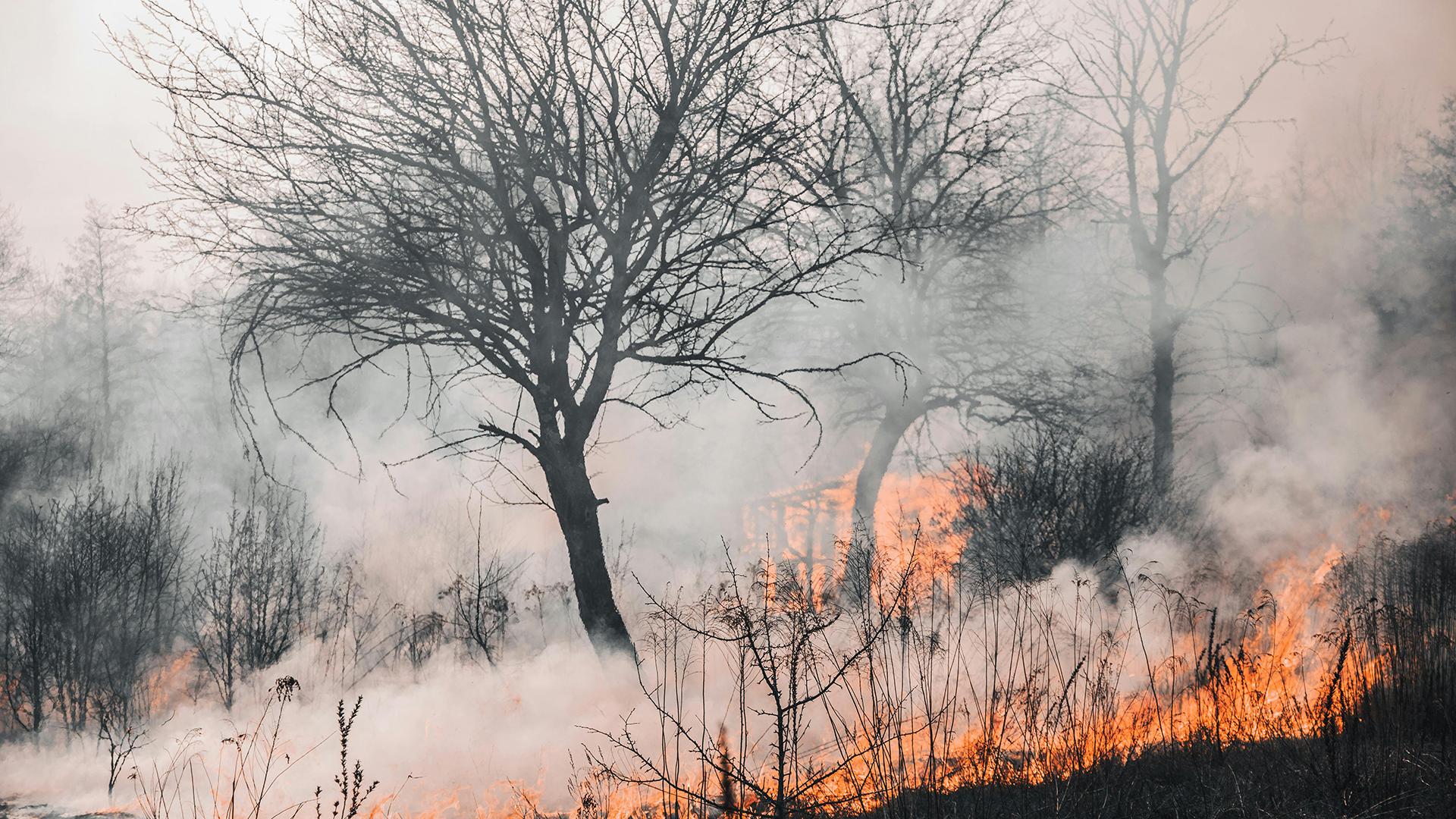
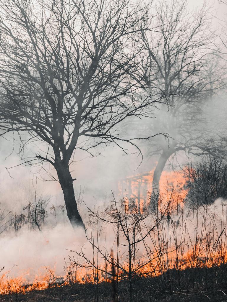
Explosive fire in Montenegro
“Here we are looking at the central coast of Montenegro and the southeastern Adriatic Sea. There was a small but notable fire there. In the animation on the left, the combination of channels from the Flexible Combined Imager shows less strong fires in green shades and stronger ones in yellow.
These animations show two views of the same fire on the Montenegrin coast on 12 August 2025 taken by the Flexible Combined Imager on board Meteosat-12. The animation on the left, showing the Cloud Phase RGB composite, highlights a quick jump in fire intensity; the animation on the right, showing the True Colour RGB composite, depicts the smoke the fire produced.
Credit: Ivan Smiljanic
“What we see is an unprecedented jump in fire temperature between the time frames. This is not a big fire but it shows a very explosive temperature signal. When the fire turns from green to yellow, that is the moment where you just have strong intensification. Very quickly all three pixels became very bright yellow, which means a very intense fire developed in just a few 10-minute observation cycles.
“In the image on the right, you can see the plume of smoke that the fire produced. The fire intensification was accompanied by stronger smoke emissions.
“I could imagine there was maybe a sudden gust of wind or possibly something exploded. It is an urban area, so I am not sure what was burning there. We did not look into this further, but whatever happened, the fire intensified very quickly.
“Satellite instruments are valuable tools for measuring wildfires for a number of reasons. One is that they can help illuminate areas that are predisposed to fires. They are good for monitoring vegetation, moisture in the atmosphere, and the overall weather patterns that are often associated with fire ignition such as higher winds and lightning events.
“Then, once a fire actually develops, Meteosat satellite instruments can be used to monitor fires over huge areas, not only in densely populated areas of Europe but also in remote areas of Africa, South America, Asia, and the Middle East.
“Detecting and monitoring fires using satellite instruments also provides homogenous data. This ensures that the flavour of the data is the same across the full Earth disc.
“Lastly, instruments on board geostationary satellites – ones that rotate along with the Earth, continuously viewing the same area on the Earth’s surface – aid firefighters' efforts in seeing how the fires are moving over time and changing intensities. They can see what is happening on the ground and the wind conditions. It is also crucial to be able to detect burnt areas – knowing where fires were recently makes it possible to better monitor their movements as they spread. This kind of observation from satellite instruments can complement observations from ground-based cameras or those on board drones, airplanes, and helicopters.
“Frequent observations from instruments on geostationary satellites are very helpful for this. The Flexible Combined Imager on board Meteosat-12 provides observations every ten minutes, and the same instrument on board the Meteosat Third Generation Imager 2 satellite, to be launched later this year, will provide observations over Europe and North Africa every two and a half minutes. These data are crucial for fighting fires and keeping people safe.”
Are you an expert looking to dive deeper?
Explore the case study here.
Author
Sarah Puschmann