Trees as carbon keepers
Satellite instruments are essential for monitoring the carbon cycle
A case study by EUMETSAT’s Dr Rob Roebeling and his team demonstrate how satellite observations can be used to monitor vegetation across the globe.
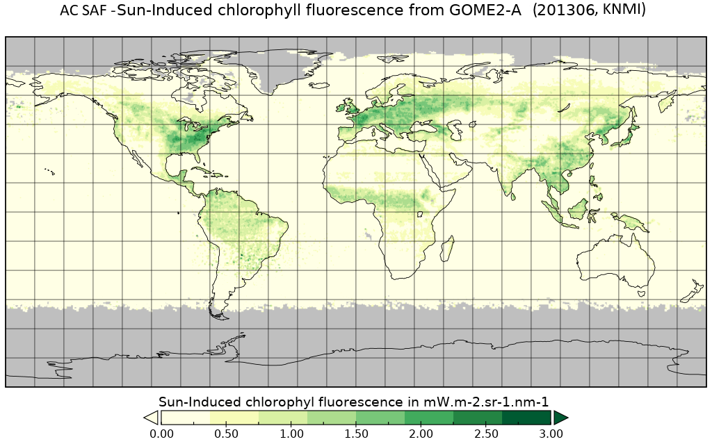
Credit: KNMI, AC SAF
“To lessen the impacts of climate change, carbon dioxide needs to be taken out of the atmosphere,” said Roebeling. “So, it is useful to find out where on Earth additional biomass is being stored and satellite instruments are very helpful for finding this out."
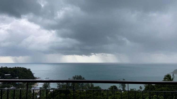
Plants grow best within a particular range of sunlight, temperature, and water. Satellite instruments for climate monitoring can be used to provide a global view of whether or not vegetation is within the range conducive to growth. For example, satellite measurements of the monthly precipitation rate and available soil moisture indicate if sufficient water is available for plants to grow.
The team also demonstrated how satellite data can be used to indicate actual vegetation growth. When plants undergo photosynthesis, they take in sunlight, carbon dioxide, and water from the environment and convert them into oxygen and sugar. Most of the unused light is released as heat with a small amount of it reemitted as red light. Spaceborne spectrometers, such as the Global Ozone Monitoring Experiment–2 (GOME-2) on board Metop satellites, can detect this reemission of light, or fluorescence, from vegetation across the globe, providing a window into how much photosynthesis is occurring, which, in turn, indicates how much carbon dioxide those plants are drawing out of the atmosphere.
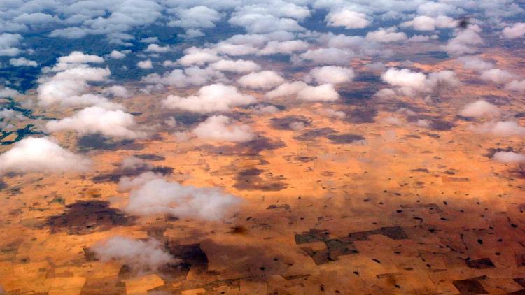
In addition to capturing carbon, vegetation also plays a role in returning carbon to the atmosphere. This can be through biological processes, such as respiration and decomposition, as well as physical processes, such as deforestation and forest fires. Satellite observations of changes in forest canopy leaf cover provide useful insights into vegetation loss due to deforestation and fire impacts.
By honing in on a reforested area of China and a forest in Australia destroyed by a wildfire, the KNMI team demonstrated the effectiveness of using satellite fluorescence observations to measure land cover changes. They found that their fluorescence observations accurately reflected the known changes – in the reforested area, the fluorescence observations indicated the expected increase, whereas after the other forest was destroyed by fire, the fluorescence decreased as expected.
“Satellites really help to provide a lot of information on how much biomass is stored in growing vegetation,” said Roebeling. “How green is the vegetation? Is there enough water? Is there enough light? How many fires are there and how fast are they growing? We want to have a complete picture of the whole carbon cycle, but this requires combining observations from many satellite instruments because there is not one single measurement that tells it all.
“In addition, we have all these measures like reforestation to try to pull carbon dioxide out of the atmosphere, so satellite observations are helpful for tracking how effective those measures really are. Monitoring this is especially important as global greenhouse gas emissions continue to increase.”
Author:
Sarah Puschmann