In West Africa, monitoring droughts with satellites saves lives
Glimpse inside a Niger-based organisation that uses satellite data to predict when and how wet the rainy season will be.


Niger-based AGRHYMET uses satellite data to monitor drought in the Sahel, which is essential for helping farmers to optimise their crop yields. Data from Meteosat-11 is combined with ground measurements and models in order to forecast when the rainy season will begin, how long it will last, and how much rain will fall.
01 November 2023
06 October 2021
When the rains are good in the Sahel, a region of Africa just south of the Sahara that stretches from northern Senegal to Sudan, baobabs bloom, millet and sorghum flourish, and harvests are fruitful.
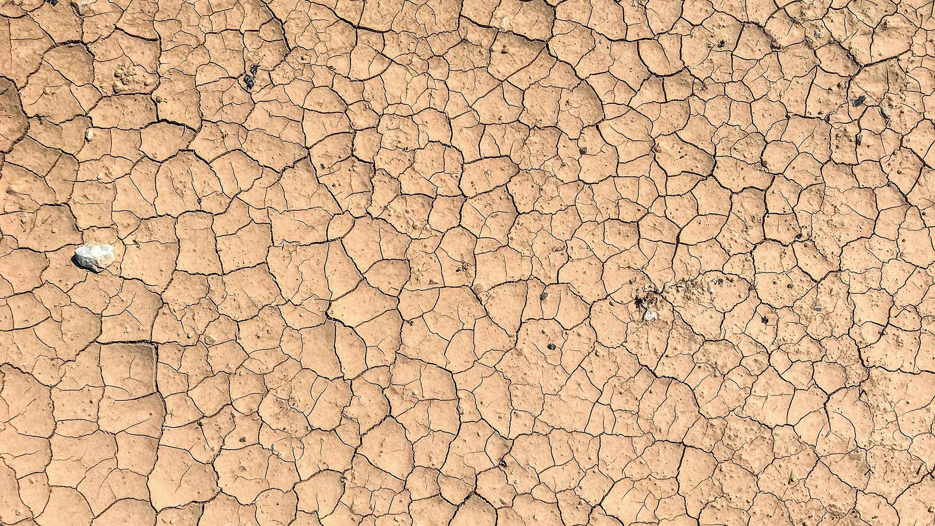
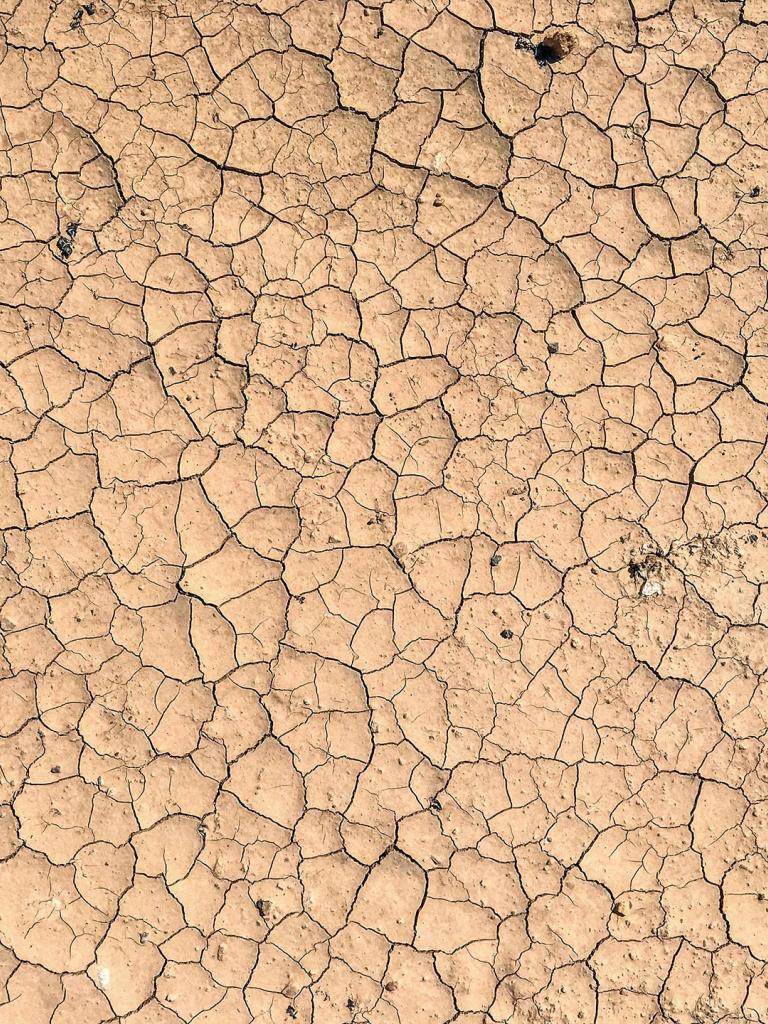
In 1968, the rain began to stop.
Over the course of the next five years, a series of droughts caused more than half the cattle population to perish, thousands of inhabitants to flee, and over 100,000 people to die of starvation and disease.

Without a reliable way to predict rainfall, and in turn, how successful the harvest would be, farmers were left to rely on traditional indicators in order to make the crucial call of when best to plant their crops. In 1973, the New York Times spoke with one farmer in southwestern Niger who, after a rainy night, chose to plant the last of his millet seeds, knowing that these plants would only flourish if the rains continued. He predicted they would, based on his observation that the birds had built their nests high in the trees that Spring.
Out of this need, AGRHYMET, an organisation for drought monitoring in the Sahel was founded in 1974 as part of the Permanent Interstate Committee for drought control in the Sahel. Named after its three main areas of focus—agrometeorology, hydrology, and meteorology—AGRHYMET aims to help its thirteen member states in West Africa by collecting, processing, and disseminating information on food security, water resource management, desertification control, and climate change impacts.
“The majority of food crises in the Sahel are still linked to drought, caused by a later start of the rainy season, shorter seasons, or dry spells,” said Issa Garba, a remote sensing specialist for AGRHYMET.
The process of actively monitoring a possible drought begins in May, when experts combine data from satellites, information from rain gauges at meteorological stations, and hydrological and agrometeorological models to create seasonal rainfall and hydrological forecasts for July through September.
The data remote sensing experts at AGRHYMET obtain from EUMETSAT’s Meteosat-11 satellite is crucial. This satellite moves in synchrony with the Earth as it rotates and so enables the key instrument on board, the Spinning Enhanced Visible and InfraRed Imager, to create an image of the entire continent of Africa every fifteen minutes.
It does this by aiming south and scanning a horizontal strip of the Earth before repeating the process one strip progressively northward, until it has collected a full set of strips that can be pieced together, mosaic-like, to form a complete image of the Earth below. By repeating this process, the instrument provides near-real-time data that remote sensing experts can use to monitor the how long it takes for the living vegetation below to respond after rainfall.
Experts at AGRHYMET then combine this vegetation information with rainfall estimates to create forecasts, which they pair with practical advice for farmers in order to help them optimise their harvest. If the upcoming rainy season is predicted to be particularly dry, farmers are advised to employ techniques for better enabling the water that does fall to penetrate the ground, either by digging holes and filling them with manure or compost or by planting seeds in rimmed basins. If, on the other hand, the upcoming rainy season is predicted to be particularly wet, farmers are advised to plant on higher ground and to supplement the soil with fertilizer, as heavy rains can wash away nutrients critical for the plants’ development.
But AGRHYMET’s impact doesn’t end there.
“Our work is very important for the community because our maps are shown to the Food Crisis Prevention Network annually in September and October, during the rainy season,” said Garba, referring to the international platform that communicates about food security issues and provides decision makers with the tools to better provide people with urgently needed food assistance.
“Also, the United Nations’ World Food Programme uses these maps to request funding for impacted regions,” he added.
The ability to monitor drought will only continue to improve with the next batch of satellites, the first of which, MTG-I1, will be launched in late 2022. Instruments on Meteosat Third Generation satellites will shave five minutes off the already fast scans, providing images of the entire continent of Africa every ten minutes. In addition, the better resolution images the instruments aboard these satellites will enable experts to create even more accurate forecasts.
In order to prepare for this new data, experts at AGRHYMET are building a new web portal—along the lines of Google Earth, with various layers—that will make it possible for policy makers to better understand the needs of their constituents and enact lasting, life-saving changes.
EUMETSAT, too, is helping to ease this transition.
“EUMETSAT is committed to making the data from this satellite system readily available to African weather and climate services, to providing training for forecasters and to participating in capacity building projects on the continent,” said EUMETSAT Director-General Phil Evans.
“The use of this data will have significant, tangible benefits for the citizens of African nations,” he added.
Ultimately, this is the heart of EUMETSAT’s mission when it comes to supporting AGRHYMET’s drought-monitoring work: to empower the Sahelian people with knowledge they can use to optimise their harvests.
Author:
Sarah Puschmann