
Gauging the defining challenge of our time

The World Meteorological Organization’s “Statement on the State of the Climate 2019” makes for sobering reading.
28 September 2020
24 March 2020
The report brings together the latest science on climate change indicators such as temperature, greenhouse gases in the atmosphere and the oceans.
“(S)ea levels are rising at an increasing pace, through greater warming of the oceans, on the surface and in the depths, and through the enhanced melting of Greenland’s ice and of glaciers, exposing coastal areas and islands to a greater risk of flooding and the submersion of low-lying areas,” WMO Secretary-General Petteri Taalas says in the report.
In fact, the report found that, in 2019, the global mean sea level was the highest since the high-precision satellite altimetry data record began:
“As the ocean warms, it expands and sea levels rise.

“This rise is further increased by the melting of ice on land, which then flows into the sea. Sea level has increased throughout the altimeter record, but recently sea level has risen at a higher rate due partly to increased melting of ice sheets in Greenland and Antarctica.
“In 2019, the global mean sea level reached its highest value since the beginning of the high-precision altimetry record (January 1993).” WMO Statement on the State of the Climate 2019, p5.
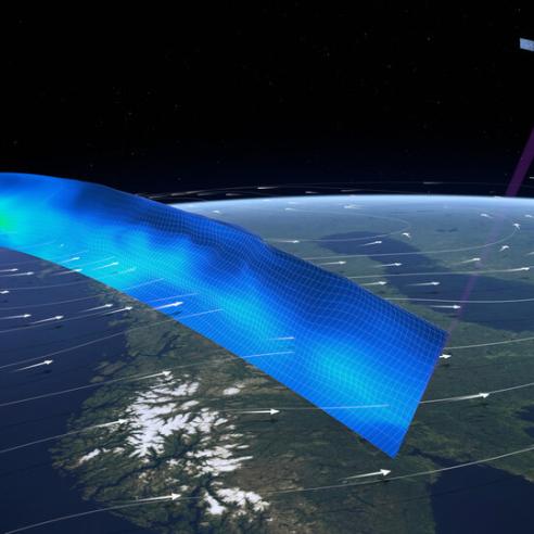
The high-precision altimetry record began with the TOPEX/Poseidon satellite mission, a joint French/American mission that has been maintained ever since through the Jason-1, -2 and -3 missions and, soon, Sentinel-6, with more space agencies contributing to their development and operations.
United Nations Secretary-General Antonio Guterres called on governments, civil society and individuals to work together to address what he called “the defining challenge of our time”.
In November this year, Europe and the United States together will launch the next generation of the high-precision altimetry mission – Copernicus Sentinel-6.
Sentinel-6, developed by the European Space Agency (ESA), includes a unique and enhanced Synthetic Aperture Radar (SAR) Altimeter, which will improve measurement precision.
Sentinel-6 is a collaborative ocean-monitoring mission implemented and co-funded by the European Commission, the European Space Agency, EUMETSAT, and supported by the French Space Agency (CNES), and the US, through NASA and the National Oceanic and Atmospheric Administration.
“The Copernicus Sentinel-6 mission is unique and shows what can be achieved when countries and organisations pool their expertise and resources to achieve a common goal,” EUMETSAT Head of Strategy, Communication and International Relations Paul Counet said.
“Although the data from this mission have wider applications – they will be used for oceanography, tracking the paths of hurricanes, weather forecasting and forecasting of seasonal and high-impact weather, for example – the mission will continue the high-precision measurements of sea level rise mentioned in the WMO’s state of the climate report.
“To understand how our climate is changing, we need a long time series of homogeneous data. Sentinel-6 will continue this crucial data record for at least another decade.
“EUMETSAT doesn’t interpret the data. Our role is to supply very precise, highly accurate data to those who use it in their models of the weather and climate.”
EUMETSAT Copernicus Sentinel-6 Project Scientist Dr Remko Scharroo confirmed mean sea level risen by about 3.2 mm per year over the past 27 years.
“This increase is not uniform – it varies over time and in different regions,” Scharroo said.
“Together with GRACE, another satellite system that measures the earth gravity changes, and ARGO, a large number of drifters in the ocean that profile its temperature, we can accurately determine the contributions of heating of the ocean and melting of the ice sheets and glaciers. This in turn improves our understanding of the various impacts of climate change.
“This information is also needed for mitigation and adaptation policies for coastal areas and small island states that are impacted by rising seas.”