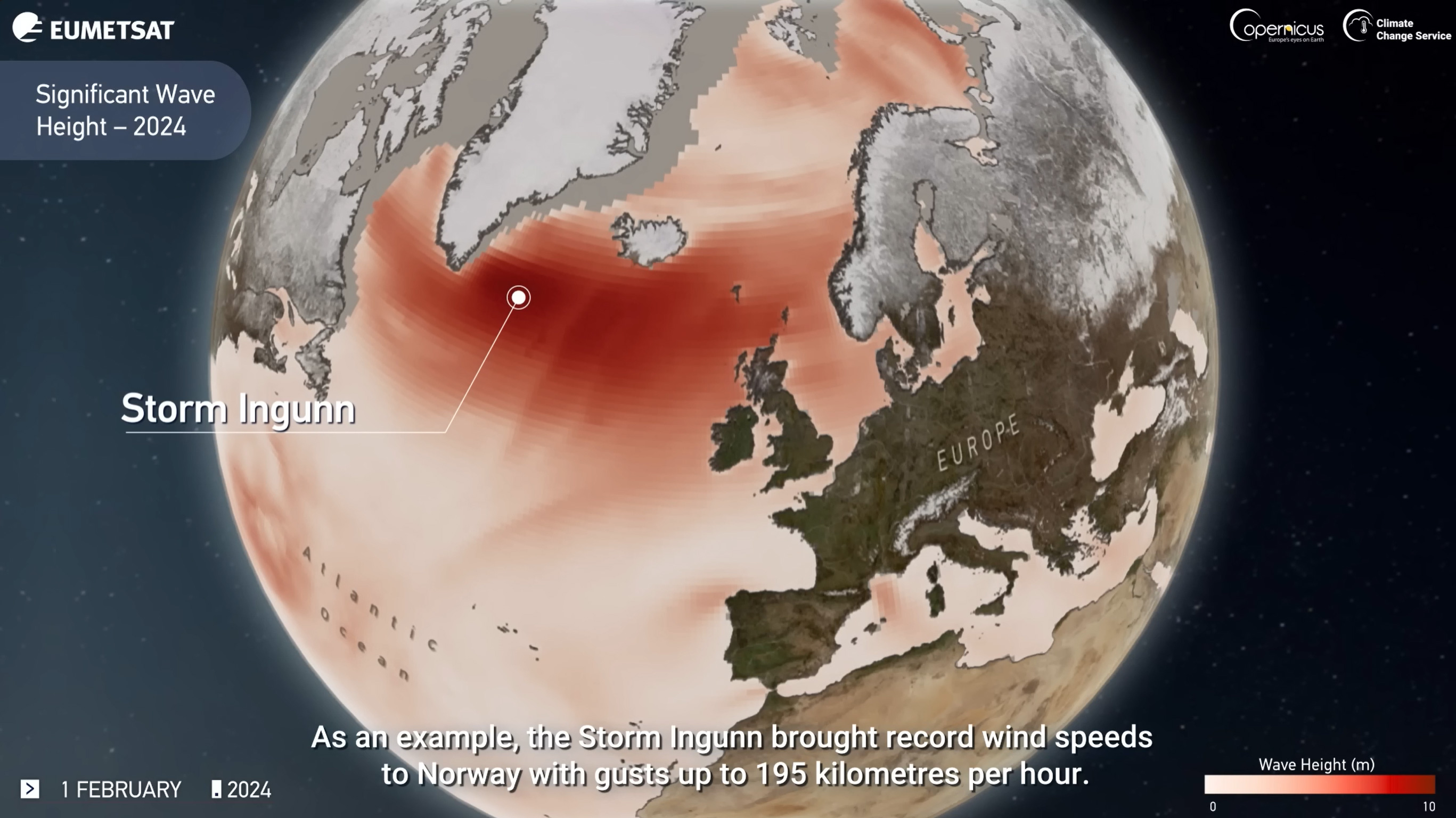
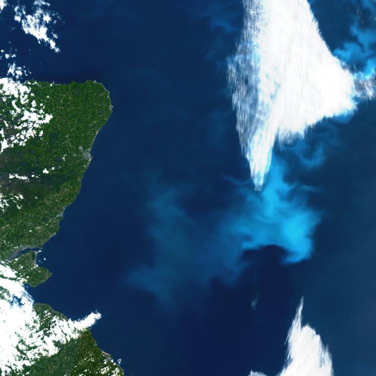
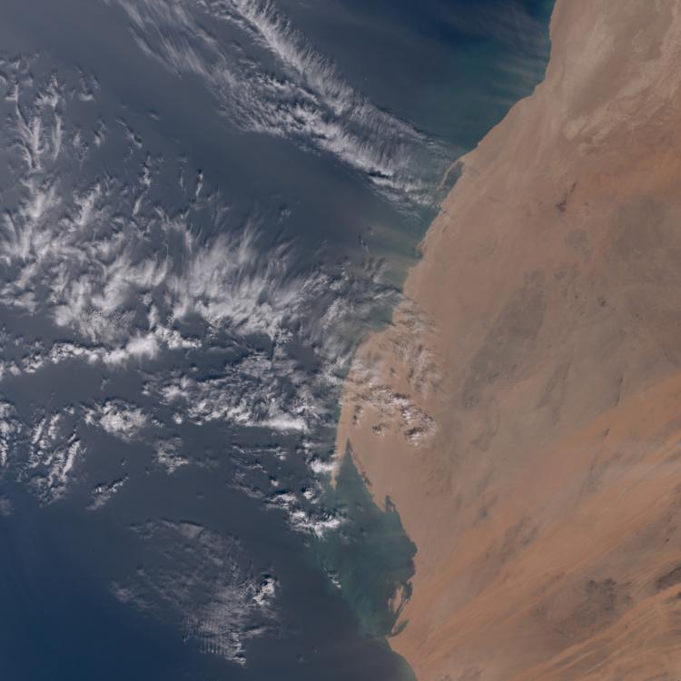
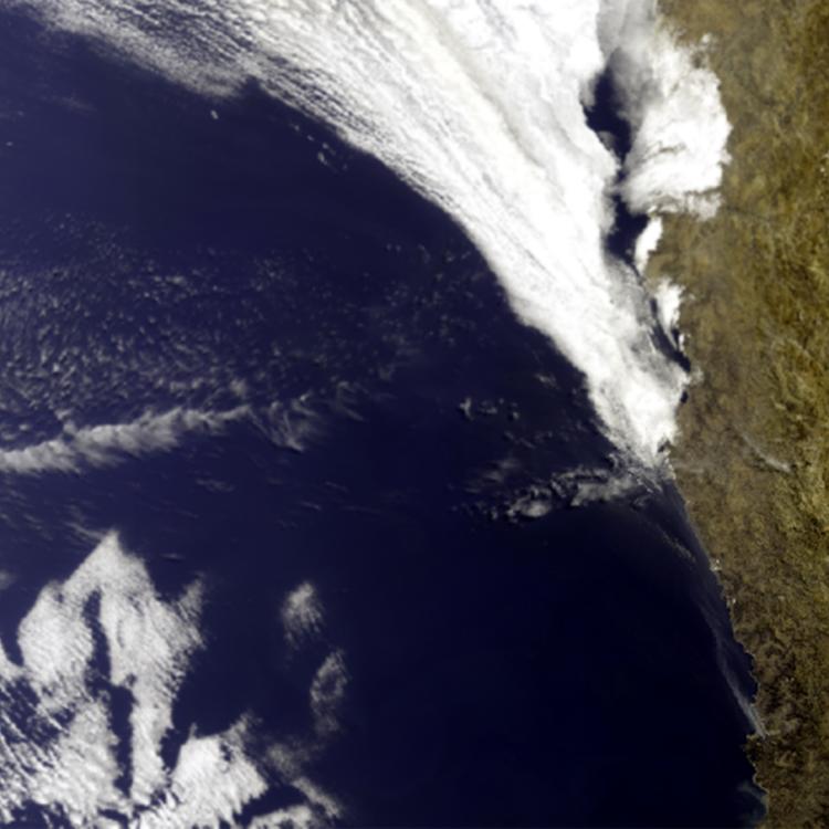
Image of the week: Global wave height 2024
Watching our Earth from space
This week’s image shows wave heights in the North Atlantic Ocean in 2024, as monitored by satellites carrying ocean altimetry instruments, such as the Copernicus Sentinel-6 and Sentinel-3 series.
Ocean altimetry data is used to improve ocean and weather forecasts, helping ships navigate safely and avoid dangerous storms. It also allows scientists to track long-term trends in sea level to monitor and better understand our changing climate.
EUMETSAT operates the Copernicus Sentinel-3, and Sentinel-6 satellites, which monitor sea level, wave height, wind speed and also ocean currents.
On 17 November 2025, the current fleet of altimetry satellites gained a new addition with the launch of the Copernicus Sentinel-6B satellite
Operated by EUMETSAT on behalf of the European Commission for its Copernicus Programme, Copernicus Sentinel-6B will deliver high-precision measurements of sea level and freshwater systems.
Its data will enhance weather, ocean state and climate forecasts and support effective water management, helping to safeguard communities and livelihoods.
Ocean waves image
The image is taken from a narrated visualisation that shows a year of ocean wave height around the world in 2024.
Watch the world's waves in motion, from the gentle ripples of trade winds to the massive swells generated by powerful winter storms in the Southern Ocean and North Atlantic.
More info
Find out how EUMETSAT monitors the oceans from space - https://www.eumetsat.int/what-we-monitor/ocean
Access marine data from EUMETSAT: https://user.eumetsat.int/data/themes/marine
Access Copernicus marine data: https://marine.copernicus.eu/