Eye of the Tiger
CGMS celebrates five decades of collaborative initiatives, including the momentous launch of FengYun-3E in an early morning orbit


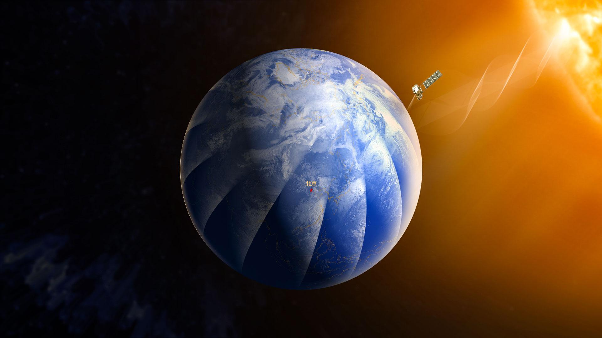
As the Coordination Group for Meteorological Satellites (CGMS) turns 50, Dr Wang Jingsong, Director-General of the China Meteorological Administration’s National Satellite Meteorological Centre reflects on the collaborative decision to place the FengYun-3E polar orbiting satellite in an early morning orbit.
A decade in the making
“Polar orbiting meteorological satellites play an indispensable role in global numerical weather prediction models," says Dr Wang Jingsong, Director-General of the CMA’s National Satellite Meteorological Centre. "They provide around 90% of the satellite data used for reducing errors in forecasts.
“However, powerful supercomputers that model the state of the atmosphere are only as good as the data that is fed into them. The more that is known about current weather conditions, the more accurate numerical weather predictions will be.
“To provide enough data about current weather and environmental conditions, global numerical weather prediction requires the assimilation of satellite-observed data at least every six hours.
"In this time window, the traditional two-orbit system – involving morning and afternoon orbits – covers about 80% of the Earth’s surface, leaving roughly 20% without observation."

In 2009, to try and close this gap, the World Meteorological Organization put forward a concept for a network of polar orbiting satellites running in three different orbital timings – AM, PM, and EM.
International experts then came together at the Coordination Group for Meteorological Satellites’ (CGMS) 40th anniversary meeting to assess the potential benefits of an EM mission.
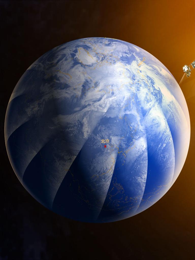
This baton was taken up by the CMA and FY-3E.
“The so-called 'Tiger Team', comprising meteorological experts from around the world, concluded that the proposed three-orbit system could significantly improve the accuracy and timeliness of forecasts at global and regional scales,” recalls Wang.
“The baseline configuration of the core polar operational constellation has since evolved from a two-orbit system to a three-orbit one.
“Combined, this three-orbit satellite system is able to provide more observations, with enhanced temporal coverage, supporting the monitoring of everything from severe weather events, to forest fires, to ocean surface winds.
“In turn, these data play a pivotal role in numerical weather prediction and climate monitoring. FY-3E helps to deliver 100% coverage of global data observed within the assimilation window of global numerical weather prediction models.”
Feeling the heat
FY-3E's onboard instruments include microwave and infrared sounders that measure vertical atmospheric temperature and moisture profiles, a spectral imager to observe clouds and sea surface temperatures, and a new wind radar that can measure the direction and speed of winds near the ocean surface. Observations are delivered twice every 24 hours.
By expanding the international constellation of meteorological polar-orbiting satellites, FY-3E operates in unison with missions such as EUMETSAT's Metop polar-orbiting satellites (in AM orbits) and NOAA's Polar Operating Environmental Satellites (in PM orbits).
“Satellites in an EM orbit are different from those in AM and PM orbits in terms of the geometry of their viewpoint and the characteristics of the sunlight they are exposed to," Wang says.
“Whilst technically challenging, flying a meteorological satellite in an EM orbit comes with several advantages.
“For example, the angle of FY-3E in relation to the sun's position is more suited to hyperspectral infrared measurements of pollutants such as ozone and carbon monoxide. And FY-3E is also able to observe the sun in a continuous manner, providing invaluable data on radiance and solar space weather.
“As FY-3E’s solar panels are always pointed towards the sun, the satellite is constantly replenished with energy. This enables the satellite to host 11 remote sensing instruments, including the wind radar, which is the first active remote sensing instrument configured in the FengYun series of meteorological satellites."
On the other hand, researchers and engineers have had to overcome major technical challenges to position FY-3E in an EM orbit.
“It was necessary to adapt the satellite's structural design, altitude control, stray light reduction and thermal design, as well as rethinking the configuration and technical aspects of the satellite's remote sensing instruments,” Wang says.
“Satellites in EM orbit are always backed away from the sun on one side, while facing towards the sun on the other. This results in a large temperature difference between the two sides of the satellite.

"Therefore, it was necessary to develop complex new designs – for both the satellite and its instrumentation – that could withstand these thermal differences.
“In addition, observations taken by EM satellites are by their nature always at dusk or dawn. The angle of the sun at these times makes it difficult to use reflected solar band energy to carry out quantitative remote sensing.
"Therefore, the satellite's visible channel detection needed to be designed for a very large dynamic range in order to detect both sides of the boundary between daytime and evening.”
CGMS: a crucial role to play
As CGMS turns 50, Wang reflects on the importance of international cooperation in maximising the impact of the world's fleets of meteorological satellites.
“Over the past 50 years, CGMS has actively and pragmatically coordinated cooperation among its members to effectively ensure the operational continuity of the global meteorological satellite observation system," he says.
"This plays an important role in satellite product research and development, data sharing services, and space weather monitoring.
“An ever-increasing number of meteorological satellite applications is also allowing CGMS to coordinate activities in additional areas such as greenhouse gas emissions and climate research. This development exemplifies the great importance CGMS attaches to understanding and tackling climate change.
"It is a remarkable milestone in international cooperation for EUMETSAT, NOAA and CMA – under CGMS coordination – to achieve a three-orbit system that fulfils the needs outlined by World Meteorological Organization’s space programme vision for 2025.
“On behalf of the National Satellite Meteorological Center of the CMA, I would like to extend my warm congratulations on the 50th Anniversary of CGMS."
Author:
Adam Gristwood
CGMS turns 50
The Coordination Group for Meteorological Satellites (CGMS) drives international collaboration in meteorological satellite systems at a global level. This includes contingency planning, the improvement of data quality, support to users, facilitation of shared data access, and the development satellite products in key application areas.
The coordination is pursued from an end-to-end perspective through the development of multilateral coordination and cooperation across all meteorological satellite operators in close coordination with the user community such as WMO, IOC-UNESCO, and other user entities.

