
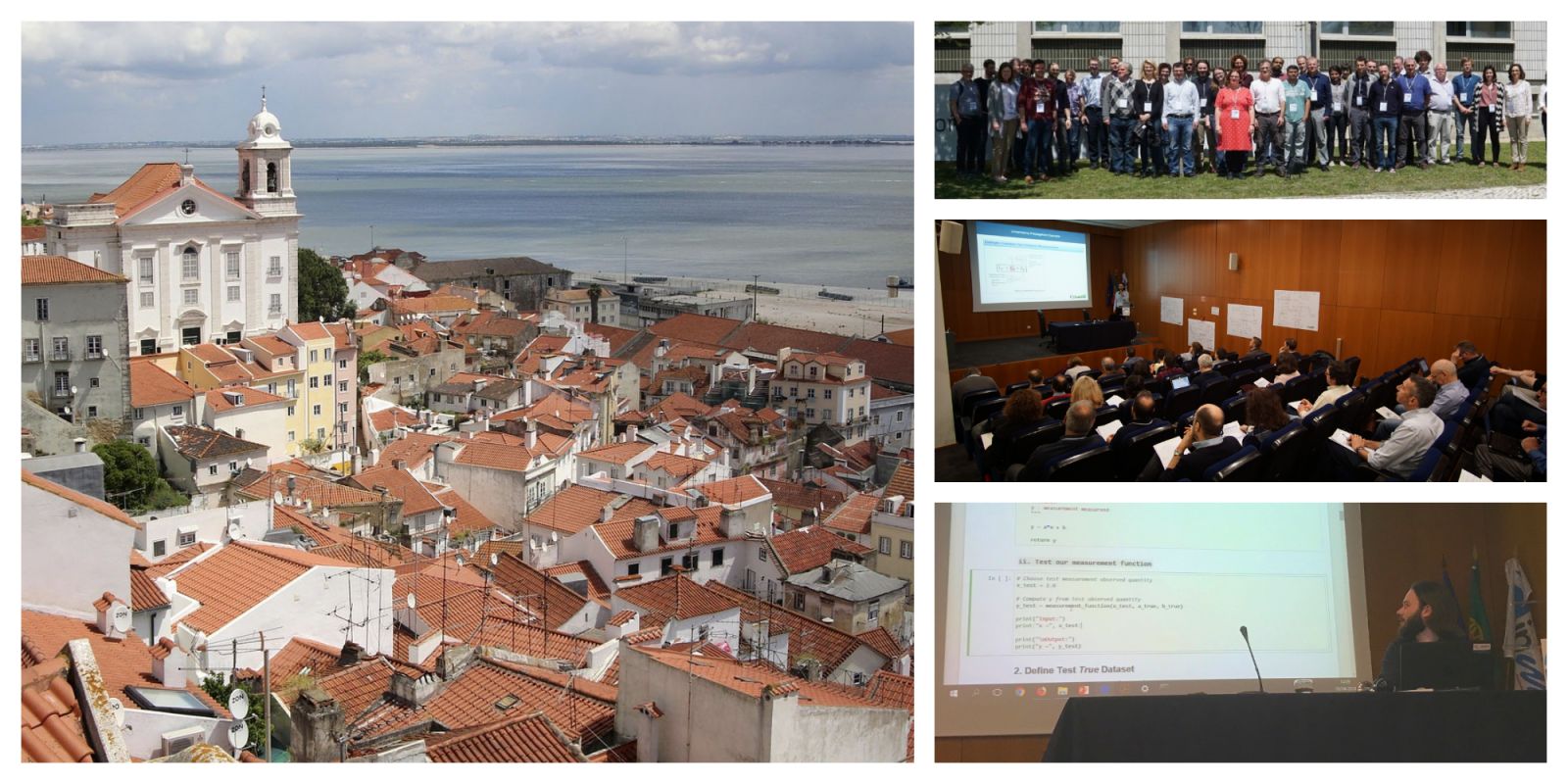
FIDUCEO Workshop on uncertainty propagation now open for registration
The Fidelity and Uncertainty in Climate Data Records from Earth Observation team has announced its second workshop in Lisbon on 25-27 June.


The workshop will explore the application of metrological concepts to the domain of Earth observation and climate, with the focus being on developing and exploiting Climate Data Records (CDRs) with evaluated uncertainties.
15 March 2021
23 May 2019
But first, a little background information into FIDUCEO and what it actually is:
FIDUCEO background
If measuring something on Earth, the measurement is assigned a unit. For example, a distance is measured in metres. Since a metre measured in Germany needs to be the same as a metre in France, the instruments (e.g. measurement tapes) have to be calibrated against each other.
In a perfect world this is possible, but in reality there will be remaining differences, e.g. due to slightly different instruments or due to temporal variability of the same instrument (e.g. temperature expansion). The science concerned with all of this is called metrology.
In the case of satellite instruments, such considerations were not a topic for a very long time. The Meteosat Visible Infra-Red Imager (MVIRI) instrument on board the first Meteosat satellites for example, were meant to be exploited primarily by weather forecasters that wanted to look at the images.
With the collection of long historical data sets spanning multiple different instruments, the numerical exploitation of those instruments for climate studies or climate modelling becomes increasingly relevant. For this, the thorough identification of temporal variability and of differences between instruments is an important precondition.
While a recalibration of a measurement with more advanced methods would bring it closer to the truth, there will always be errors remaining. Even worse - the errors in two measurements may be correlated or anti-correlated. To meet the increasing demand of users for climate data records with thoroughly quantified uncertainties, including error correlations, the FIDUCEO project has connected remote sensing scientists and metrology scientists for developing the necessary methodology.
This was done using four example instruments: the High-resolution Infrared Radiation Sounder (HIRS), the Advanced Very High Resolution Radiometer (AVHR), MVIRI and Microwave instruments.
The methodology is used to trace uncertainties from the root causes in the instruments down to geophysical quantities in Level 2 data sets such as derived aerosols or sea surface temperatures.
The focus on "developing and exploiting Climate Data Records (CDRs) with evaluated uncertainties" as mentioned at the start will address the link between uncertainty in Fundamental Climate Data Records (FCDRs) and derived CDRs; providing and exploiting uncertainty information for CDRs.
More details
An FCDR is what's called Level 1 in the remote-sensing community: radiance/reflectance or brightness temperature. CDR points to a Level 2 data set - this is a derived geophysical variable, such as aerosol optical depth.
The FIDUCEO project has changed the way we are looking at uncertainties in Earth observations. Instead of looking at the results, we are looking at the physical root causes for uncertainties in the instruments. The big challenge is how those uncertainties can be taken up by the user community. Therefore, the aim of the workshop is to try and get these methodologies across to the users and to collect feedback on what their needs are. The project is funded by the EU Research and Innovation Programme "Horizon 2020".
Why is this project important?
Users of satellite data require information about the uncertainty effects in satellite data in order to judge whether their results are significant or are sensitive to impacts that originate in the instruments. The performance of data assimilation into numerical models is expected to greatly improve when provided with uncertainties and more data can be combined if the error correlations are known.
What are climate data records?
Data sets that cover long-time series with high measurement stability, so that trends in those data are coming from the measurand (the object under observation). That means they are as free as possible from instrument effects and that any remaining instrument effects (uncertainties) are properly specified.
The main milestones of the workshop are as follows:
- Sharing methods for root-cause based uncertainty analysis applied on FCDRs
- Training in metrology concepts for Earth observations
- Discussion of the applicability on the research interests of users
There will be plenty of information at the workshop about the methodology developed, plus, the validation results of the generated fundamental climate data records will be presented. There will also be breakout sessions to discuss the uncertainty propagation of Level 1 uncertainties into Level 2 retrievals and users will be able to ask questions. Also, users will present their work in order to discuss the applicability of the FIDUCEO methodology to their data.
If you use satellite data for climate-related studies, then this is the workshop for you. Meet with other like-minded people to share information and give feedback. Register here before 31 May.
