
Insight into Jasmin Vural’s life as a fellow
Delving further into our continuing series on fellowships, we talked to Jasmin Vural, who is almost done with hers.


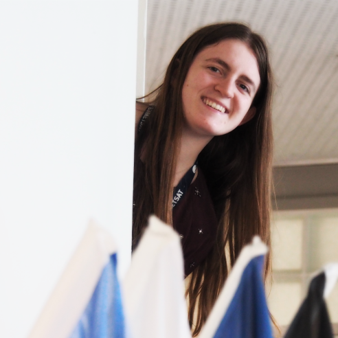
Jasmin Vural shares her fellowship experience with us and gives us a peek into her role.
01 November 2023
15 June 2020

What do you hope to achieve from the fellowship experience?
Originally, my academic background is in astrophysics, so my main hope at the beginning was to transition well into the fields of meteorology and remote sensing. In addition, I wanted to do something more pragmatic; not only to feel that my work was having an impact on the world in which we live, but to also have a wider range of opportunities available to me later.
What project(s) are you working on? What does your role entail?
The goal of my project is to develop a European soil-moisture product with high spatial resolution. Soil moisture is an important variable for many fields and applications, but it is not easy to measure. With data assimilation, the information content of remotely-sensed soil moisture and a land-surface model can be merged. The approach of my project is to evaluate the benefit of specifying the observation error in more detail and to move to higher resolution data assimilation systems; e.g., on the numerical weather prediction in Austria. The findings can then be used for computations on larger domains like Europe.
Can you explain what the daily tasks required for your project are?
One of the best aspects of my project is that it is multidisciplinary, in the sense that I have to learn and apply not only remote sensing and meteorology, but also bits and pieces of hydrology, soil science, computing science, and even mathematics. Thus, I do not have a real routine that applies to everyday tasks. Sometimes, I work more on data handling, which means dealing with data formats, projections, or observation errors. In other phases, I am more involved in tweaking the model or my own evaluation code; not to forget reading the literature, writing reports, preparing presentations for workshops, or publishing in journals.
Do you incorporate any data from EUMETSAT’s satellites into your work?
Yes, the soil moisture data I am using for data assimilation is a combination of the H-SAF product, Metop/ASCAT and Sentinel-1/SAR data. The merged product provides both the high temporal resolution of the former and the high spatial resolution of the latter.
What are the main takeaways from your experience so far?
I have learnt an incredible amount (and for that, I really have to thank my super-helpful and seemingly omniscient colleagues). In addition, the fellowship has allowed me to travel to a lot to conferences and workshops all over Europe, which was great for not only getting to know new places and exchanging information about my specific work, but also for experiencing the wider context of my field.
What is the duration of your fellowship? What do you intend to do when it’s complete?
The complete duration of the fellowship was 3 years and it is now almost over. It is a bit too early to talk about it, but it looks like I will be able to work on something similar in the future.
We would like to thank Jasmin for taking out some time to talk to us about her fellowship and wish her the best of luck in her career!