
A year of polar ice
Analysing how Arctic and Antarctic sea ice extent changed during the year.

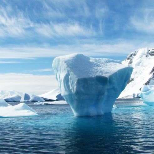
This month there has been a lot of news coverage of the current record low extent of Global sea ice.
19 January 2021
30 January 2017
As an example, the New Scientist published an analysis of sea ice coverage in the Arctic and Antarctic in 2016 based on NASA data, mentioning that in the Arctic the low in sea ice extent is due to both global warming and unusual weather events, whereas in the Antarctic the current low in seasonal ice could be a result of natural variability.
We produced an animation above that summarises the status of sea ice concentration in the Arctic and Antarctic regions over the whole year and we talked to our experts at the OSI SAF that work with sea ice extent, to get their take on the data. In the animation above you can see how Arctic and Antarctic sea ice extent changed during the year.
The OSI SAF, the Ocean and Sea Ice Satellite Application Facility, monitors sea ice extent using satellite data coming from two instruments: the SSMIS onboard US DoD DMSP satellite series and the ASCAT instrument onboard EUMETSAT’s Metop satellite series.
The OSI SAF has been producing daily maps of ice concentration (local ice coverage, ranging from 0% to 100% of ice presence) since the creation of the operational facility in 2005. A long data record starting from the late 1970s and extending until present time is also made available to monitor climate change.

Thomas Lavergne of the OSI SAF, who works with the ice concentration, extent, and drift products, explained to us what affects sea ice concentration in the Arctic.
“There are two ways in which sea ice can disappear: either it melts due to higher temperatures (thermodynamic processes) or it is pushed away or compacted by the wind (dynamic processes). “Undoubtedly this year brought warmer temperatures to these regions, however there were also noticeable weather events that had an effect on the shape of sea ice in the Arctic, and that can be easily identified in the animation.”
According to Lavergne, in mid-November around the 18th, storms with high winds pressured Arctic sea ice, both from the Atlantic and the Pacific side. This can be seen in the animation from 00:51 to 00:53 and in the daily image of sea ice drift of the OSI SAF below, where the ice motion vectors resulting from winds are shown.

Later on, around Christmas, there was a second strong storm around Svalbard that pushed the ice inwards on the Atlantic side. The video shows this movement from 00:57 to 00:58, and we can also see it from the sea ice drift analysis below.

These two events were particularly long-lasting and compacted the ice, noticeably making it cover a smaller area and also grow more slowly compared to previous years. Relatively warm temperatures and the stormy events described above resulted in the Arctic sea ice to re-freeze at a very slow pace after last September minimum.
When looking into 2017, this freezing season sets the scene for extensive ice-free areas at the end of summer, if milder temperature conditions materialise. The freezing and melting of Arctic sea ice can be monitored from the daily updated sea ice extent plots of the OSI SAF.