
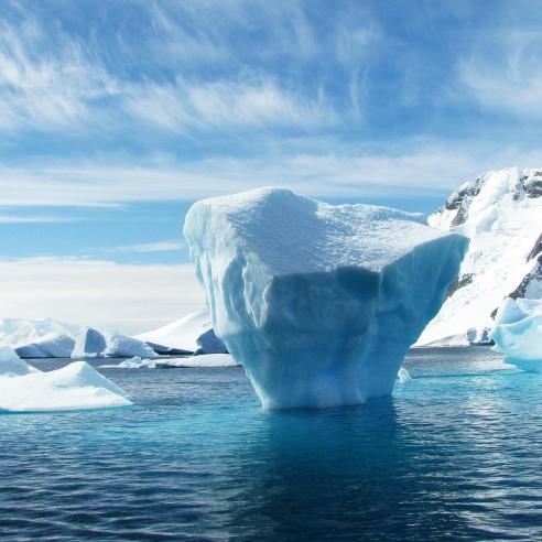
A year of Sea Surface Temperature
Anne O’Carroll talks us through this mesmerising animation describing a year of sea surface temperature (SST) in 2016.


The animation below combines satellite data with ocean surface measurements. The satellite data used come from both the geostationary ring of satellites and polar orbiting data including from Europe, America and Japan.
11 March 2021
18 April 2017
“The animation is important to see the changes on a global scale of the surface temperatures of our ocean, and to consider how these influence weather patterns and thus our daily lives. Moreover, the compilation of the voiceover was an interesting opportunity to put these changes into context,” Anne said.
The global sea surface temperature animation is compiled from the Operational Sea Surface Temperature and Sea Ice Analysis (OSTIA) as produced by the Met Office. The products are available from the Copernicus Marine Environment Monitoring Service (CMEMS).
The animation shows the beauty of the movement of our ocean and the changes in temperature and how energy is distributed and spreads around our globe
“The animation shows a level-4 analysis product, which means that it uses a combination of satellite sea surface temperature data combined together with the surface measurements. These are all provided in a common way and specification through coordination by the Group for High Resolution Sea Surface Temperature (more information here).
It is a daily analysis for night-time produced at 1/20 degree spatial resolution which is at approximately 5km” Anne explains.
Anne goes through each month of the year highlighting specific weather events, currents and changes in temperatures in different zones of the Earth focussing especially on El Niño–Southern Oscillation (ENSO) and La Niña.
Watch El Niño
El Niño is a natural cycle in Pacific Ocean temperatures, winds and cloud that influences climate all around the planet. It consists in a band of warm water developing in the central and east-central equatorial Pacific. On the other hand La Niña is the “cool” phase that follows El Niño, bringing colder temperatures.

In February (image 1 and minute 00.46) we can see El Niño conditions in the El Niño 3.4 region with sea surface temperatures at more than ½ degree above average conditions. In April the strength of El Niño is fading and we can see cooler temperatures moving westward in the Central Pacific (Image 2 and minute 02.50).

Moving into summer, El Niño conditions reach the neutral state with sea surface temperatures getting gradually cooler (04.15).
Finally, from October onwards we can see La Niña conditions where sea surface temperatures in the El Nino 3.4 region are 0.5 degrees colder than usual (05.50). As seasons change, colder temperatures are coloured in blue while warmer surface temperatures evolve from yellow to magenta, and while currents move we can see the changes in temperatures twirling around.

“The animation shows the beauty of the movement of our ocean and the changes in temperature and how energy is distributed and spreads around our globe, affecting the weather, climate, ecosystem and all our daily lives” Anne said.
