US, European teams welcome Metop-C’s first AMSU image


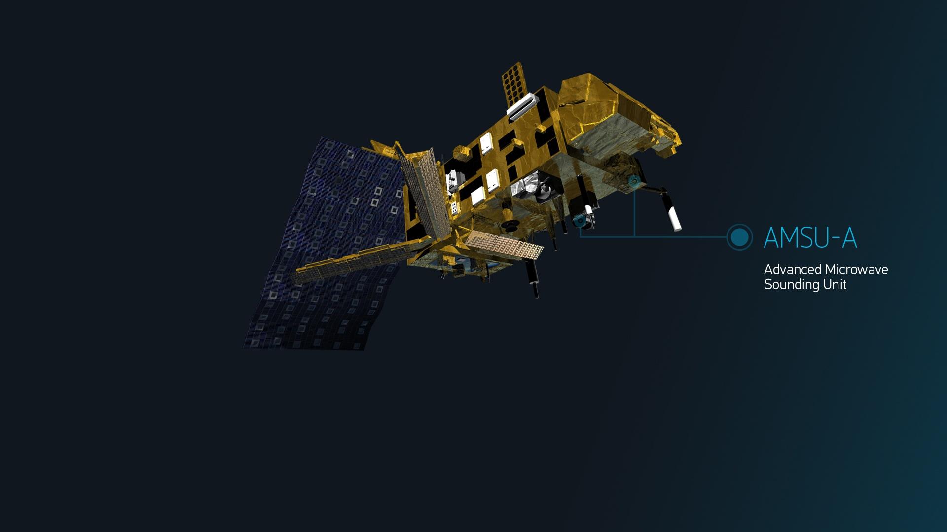
The first science data from the Advanced Microwave Sounding Unit (AMSU-A) on board Metop-C has been received after the instrument was switched on just nine days after the satellite’s launch on 6 November. The AMSU-A data were received during a series of instrument tests taking place before the satellite is operational.
12 April 2022
19 November 2018

Figure 1 Earth-scene antenna temperature of channel 4 at 52.8 gigahertz (GHz). The image depicts the spatial distribution of lower troposphere temperatures as well as certain surface features such as high elevation regions. Long-term trends of channel 4 temperatures provide critical information on global climate changes in the lower troposphere. Blues depict areas with lower temperature, while reds represent higher temperature near the surface. Near the poles, blue depicts cold temperatures near the surface due to the impact of surface snow and ice. The image above was produced by NOAA/Center for Satellite Applications and Research.

Figure 2 Earth-scene radiance of channel 15 89 GHz, looking down to the surface, with data from AMSU-A from all of Metop-C’s orbits during the morning of 15 November. The image was produced by the EUMETSAT ground segment.
Metop-C is the last in a series of three polar-orbiting satellites which provides vital observations to Weather Models for generating short to medium range (1-10 days) weather forecasts. Through the Initial Joint Polar System Agreement between NOAA and EUMETSAT, the two organizations share data from their respective satellites. EUMETSAT’s and NOAA’s satellites also fly on complementary orbits which ensure greater frequency of global coverage.
The AMSU-A is one of three American instruments which, together with a suite of European instruments, makes up Metop-C’s payload . The three American sensors provided by the US National Oceanic and Atmospheric Administration (NOAA) NOAA on board Metop-C are: AMSU-A, the Advanced Very High Resolution Radiometer (AVHRR), and the Space Environment Monitor (SEM).
AMSU-A and the AVHRR will improve daily weather forecasts while continuing to monitor long-term changes in Earth's climate. SEM provides measurements to determine the intensity of the Earth's radiation belts and the flux of charged particles at satellite altitude.
Nine operational AMSU-A instruments and one engineering model (prototype) were built. Five operational instruments are on NOAA’s polar satellites, one on a NASA satellite, and three on EUMETSAT’s Metop satellites. The first AMSU instrument was manifested on NOAA-15, which was launched on May 1998, is more than 20-years old and still operating.